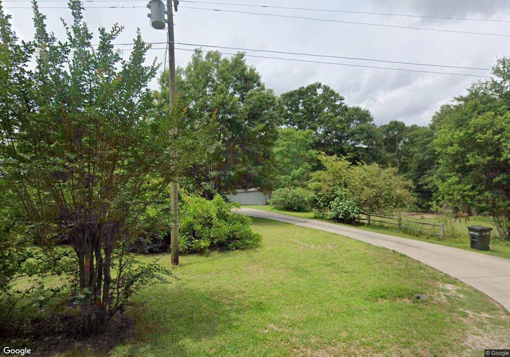
247 Lebanon Rd Laurel, MS 39443
Estimated Value: $126,509 - $198,000
--
Bed
--
Bath
1,420
Sq Ft
$112/Sq Ft
Est. Value
About This Home
This home is located at 247 Lebanon Rd, Laurel, MS 39443 and is currently estimated at $158,877, approximately $111 per square foot. 247 Lebanon Rd is a home located in Jones County.
Ownership History
Date
Name
Owned For
Owner Type
Purchase Details
Closed on
Mar 21, 2013
Sold by
Everett Willis T and Everett Marion Gay
Bought by
Sherman Jeremy Winston and Sherman Ashley M
Current Estimated Value
Home Financials for this Owner
Home Financials are based on the most recent Mortgage that was taken out on this home.
Original Mortgage
$10,604
Outstanding Balance
$7,467
Interest Rate
3.57%
Estimated Equity
$151,410
Purchase Details
Closed on
Feb 11, 2013
Sold by
Everett Willis T and Everett Marion Gay
Bought by
Sherman Bobby G and Sherman Vivian E
Home Financials for this Owner
Home Financials are based on the most recent Mortgage that was taken out on this home.
Original Mortgage
$10,604
Outstanding Balance
$7,467
Interest Rate
3.57%
Estimated Equity
$151,410
Create a Home Valuation Report for This Property
The Home Valuation Report is an in-depth analysis detailing your home's value as well as a comparison with similar homes in the area
Home Values in the Area
Average Home Value in this Area
Purchase History
| Date | Buyer | Sale Price | Title Company |
|---|---|---|---|
| Sherman Jeremy Winston | -- | -- | |
| Sherman Bobby G | -- | -- |
Source: Public Records
Mortgage History
| Date | Status | Borrower | Loan Amount |
|---|---|---|---|
| Open | Sherman Jeremy Winston | $10,604 | |
| Closed | Sherman Bobby G | $38,394 | |
| Closed | Sherman Bobby G | $0 |
Source: Public Records
Tax History Compared to Growth
Tax History
| Year | Tax Paid | Tax Assessment Tax Assessment Total Assessment is a certain percentage of the fair market value that is determined by local assessors to be the total taxable value of land and additions on the property. | Land | Improvement |
|---|---|---|---|---|
| 2025 | $644 | $7,635 | $0 | $0 |
| 2024 | $644 | $7,454 | $0 | $0 |
| 2023 | $644 | $7,458 | $0 | $0 |
| 2022 | $665 | $7,459 | $0 | $0 |
| 2021 | $669 | $7,461 | $0 | $0 |
| 2020 | $656 | $7,142 | $0 | $0 |
| 2019 | $509 | $5,553 | $0 | $0 |
| 2018 | $509 | $5,553 | $0 | $0 |
| 2017 | $514 | $5,550 | $0 | $0 |
| 2016 | $464 | $5,200 | $0 | $0 |
| 2015 | $432 | $5,192 | $0 | $0 |
| 2014 | $432 | $5,186 | $0 | $0 |
Source: Public Records
Map
Nearby Homes
- 253 Maxey Rd
- 13 Iris Ln
- 0 Calma Dr
- 0 Cactus Dr
- 29 Mississippi 28
- 239 Pat Holifield Rd
- 0 Old Soso Rd
- 301 Indian Springs Church Rd
- 47 Pace Rd
- Meador Rd
- 30 Sassy Ln
- 131 Violet Dr
- 1013 Service Rd
- 10 Westerly Dr
- LOT 22 Violet Dr
- 5 Westerly Dr
- 4 Katyford Dr
- 423 Shady School Rd
- 1721 Mississippi 29
- 1043 Mississippi 28
