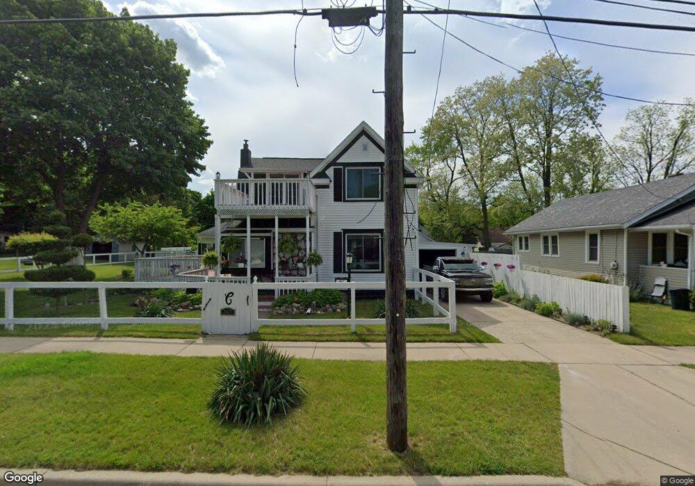
247 Oneita St Battle Creek, MI 49037
North Central NeighborhoodEstimated Value: $128,000 - $155,000
3
Beds
2
Baths
1,732
Sq Ft
$83/Sq Ft
Est. Value
About This Home
This home is located at 247 Oneita St, Battle Creek, MI 49037 and is currently estimated at $143,202, approximately $82 per square foot. 247 Oneita St is a home located in Calhoun County with nearby schools including Dudley School, Northwestern Middle School, and Battle Creek Central High School.
Ownership History
Date
Name
Owned For
Owner Type
Purchase Details
Closed on
Jan 18, 2007
Sold by
Clark Joyce L
Bought by
Clark Joyce L and Clark Michael
Current Estimated Value
Home Financials for this Owner
Home Financials are based on the most recent Mortgage that was taken out on this home.
Original Mortgage
$89,300
Outstanding Balance
$53,425
Interest Rate
6.23%
Mortgage Type
New Conventional
Estimated Equity
$89,777
Purchase Details
Closed on
May 9, 2006
Sold by
Clark Joyce L and Pour Over Trust Of Joyce L Cla
Bought by
Clark Joyce L
Home Financials for this Owner
Home Financials are based on the most recent Mortgage that was taken out on this home.
Original Mortgage
$55,000
Interest Rate
6.56%
Mortgage Type
Fannie Mae Freddie Mac
Purchase Details
Closed on
Feb 7, 2000
Sold by
Clark John W
Bought by
Clark Joyce L
Purchase Details
Closed on
Jan 17, 2000
Bought by
Clark Trust
Create a Home Valuation Report for This Property
The Home Valuation Report is an in-depth analysis detailing your home's value as well as a comparison with similar homes in the area
Home Values in the Area
Average Home Value in this Area
Purchase History
| Date | Buyer | Sale Price | Title Company |
|---|---|---|---|
| Clark Joyce L | -- | Title Source Inc | |
| Clark Joyce L | -- | Otc | |
| Clark Joyce L | -- | -- | |
| Clark Trust | -- | -- |
Source: Public Records
Mortgage History
| Date | Status | Borrower | Loan Amount |
|---|---|---|---|
| Open | Clark Joyce L | $89,300 | |
| Closed | Clark Joyce L | $55,000 |
Source: Public Records
Tax History Compared to Growth
Tax History
| Year | Tax Paid | Tax Assessment Tax Assessment Total Assessment is a certain percentage of the fair market value that is determined by local assessors to be the total taxable value of land and additions on the property. | Land | Improvement |
|---|---|---|---|---|
| 2025 | -- | $57,500 | $0 | $0 |
| 2024 | $1,029 | $47,798 | $0 | $0 |
| 2023 | $1,176 | $41,020 | $0 | $0 |
| 2022 | $929 | $33,733 | $0 | $0 |
| 2021 | $1,110 | $32,038 | $0 | $0 |
| 2020 | $1,552 | $24,466 | $0 | $0 |
| 2019 | $1,572 | $22,989 | $0 | $0 |
| 2018 | $1,572 | $23,997 | $1,008 | $22,989 |
| 2017 | $1,606 | $25,526 | $0 | $0 |
| 2016 | $1,602 | $32,406 | $0 | $0 |
| 2015 | $1,126 | $28,509 | $4,913 | $23,596 |
| 2014 | $1,126 | $28,509 | $4,913 | $23,596 |
Source: Public Records
Map
Nearby Homes
- 435 Kendall St N
- 5 Beglin Ct
- 188 Roseneath Ave
- 52 Roseneath Ave
- 224 Hubbard St
- 216 Kendall St N
- 129 Fox Ave
- 161 Wilds Ave
- 253 Greenwood Ave
- 706 Washington Ave N
- 89 Somerset Ave
- 125 Oaklawn Ave
- 60 Graves Ave
- 69 Jordan St
- 46 Walter Ave
- 000 5 Mile Rd
- 562 Van Buren St W
- 35 Hubbard St
- 0 W Vanburen 027 St Unit 22040287
- 0 W Vanburen 025 St Unit 22040286