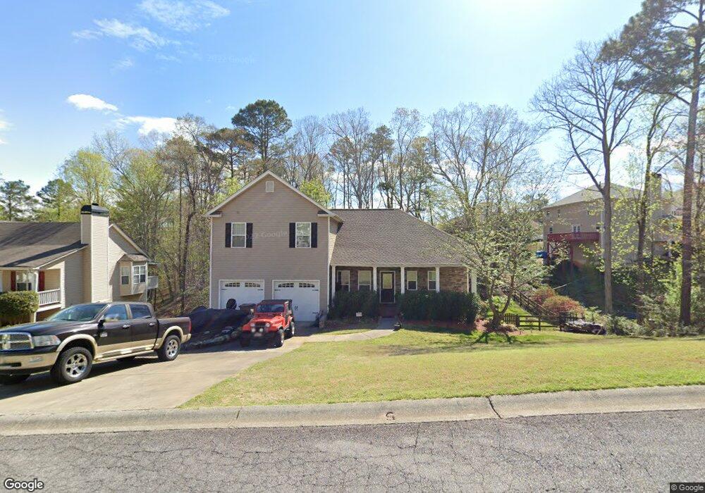
247 Sable Trace Dr Acworth, GA 30102
Oak Grove NeighborhoodEstimated Value: $415,063 - $429,000
4
Beds
3
Baths
2,064
Sq Ft
$204/Sq Ft
Est. Value
About This Home
This home is located at 247 Sable Trace Dr, Acworth, GA 30102 and is currently estimated at $422,032, approximately $204 per square foot. 247 Sable Trace Dr is a home located in Cherokee County with nearby schools including Oak Grove Elementary School, E. T. Booth Middle School, and Etowah High School.
Ownership History
Date
Name
Owned For
Owner Type
Purchase Details
Closed on
Feb 28, 2006
Sold by
Logans Crossing Dev Inc
Bought by
Mcentyre Dennis and Mcentyre Maria
Current Estimated Value
Home Financials for this Owner
Home Financials are based on the most recent Mortgage that was taken out on this home.
Original Mortgage
$200,416
Outstanding Balance
$111,177
Interest Rate
6.05%
Mortgage Type
FHA
Estimated Equity
$310,855
Purchase Details
Closed on
Aug 17, 2004
Sold by
Chimney Creek Properties Inc
Bought by
Logans Crossing Dev Inc
Home Financials for this Owner
Home Financials are based on the most recent Mortgage that was taken out on this home.
Original Mortgage
$167,000
Interest Rate
5.96%
Create a Home Valuation Report for This Property
The Home Valuation Report is an in-depth analysis detailing your home's value as well as a comparison with similar homes in the area
Home Values in the Area
Average Home Value in this Area
Purchase History
| Date | Buyer | Sale Price | Title Company |
|---|---|---|---|
| Mcentyre Dennis | $202,000 | -- | |
| Logans Crossing Dev Inc | $29,900 | -- |
Source: Public Records
Mortgage History
| Date | Status | Borrower | Loan Amount |
|---|---|---|---|
| Open | Mcentyre Dennis | $200,416 | |
| Previous Owner | Logans Crossing Dev Inc | $167,000 |
Source: Public Records
Tax History
| Year | Tax Paid | Tax Assessment Tax Assessment Total Assessment is a certain percentage of the fair market value that is determined by local assessors to be the total taxable value of land and additions on the property. | Land | Improvement |
|---|---|---|---|---|
| 2025 | $3,910 | $167,080 | $34,000 | $133,080 |
| 2024 | $3,900 | $167,960 | $34,000 | $133,960 |
| 2023 | $3,408 | $165,240 | $34,000 | $131,240 |
| 2022 | $3,258 | $135,640 | $32,000 | $103,640 |
| 2021 | $2,980 | $111,960 | $24,000 | $87,960 |
| 2020 | $2,813 | $104,680 | $22,000 | $82,680 |
| 2019 | $2,740 | $101,520 | $22,000 | $79,520 |
| 2018 | $2,516 | $91,280 | $19,200 | $72,080 |
| 2017 | $2,508 | $225,300 | $19,200 | $70,920 |
| 2016 | $2,290 | $202,400 | $19,200 | $61,760 |
| 2015 | $2,061 | $181,000 | $15,200 | $57,200 |
| 2014 | $2,019 | $177,100 | $13,000 | $57,840 |
Source: Public Records
Map
Nearby Homes
- 585 Lee Dr
- 6390 Woodstock Rd
- 5753 Oak Grove Dr
- 204 Queensbury Ct
- 170 Sable Trace Trail
- 307 Queensbury Walk
- 736 Coventry Cove Way
- 740 Coventry Cove Way
- 744 Coventry Cove Way
- 1030 Queensbury Run Unit 1
- 748 Coventry Cove Way
- 752 Coventry Cove Way
- 321 Brighton Bend Ln
- 325 Brighton Bend Ln
- 159 Sable Trace Trail
- 756 Coventry Cove Way
- 3106 Cambridge Mill St
- 3102 Cambridge Mill St
- 333 Brighton Bend Ln
- 337 Brighton Bend Ln
- 245 Sable Trace Dr
- 301 Sable Trace Pass
- 303 Sable Trace Pass
- 243 Sable Trace Dr
- 305 Sable Trace Pass
- 252 Sable Trace Dr
- 250 Sable Trace Dr
- 307 Sable Trace Pass
- 241 Sable Trace Dr
- 254 Sable Trace Dr
- 248 Sable Trace Dr
- 256 Sable Trace Dr
- 246 Sable Trace Dr
- 401 Sable Trace Cove
- 239 Sable Trace Dr
- 309 Sable Trace Pass
- 253 Sable Trace Dr
- 306 Sable Trace Pass
- 244 Sable Trace Dr
- 311 Sable Trace Pass
Your Personal Tour Guide
Ask me questions while you tour the home.