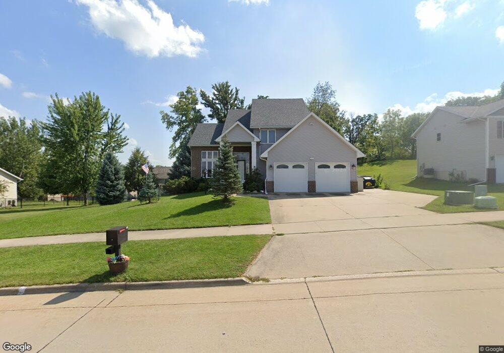
247 W Goldfinch Dr Tiffin, IA 52340
Estimated Value: $441,000 - $533,000
3
Beds
4
Baths
2,452
Sq Ft
$194/Sq Ft
Est. Value
About This Home
This home is located at 247 W Goldfinch Dr, Tiffin, IA 52340 and is currently estimated at $476,502, approximately $194 per square foot. 247 W Goldfinch Dr is a home located in Johnson County with nearby schools including Clear Creek Amana High School.
Ownership History
Date
Name
Owned For
Owner Type
Purchase Details
Closed on
May 5, 2023
Sold by
Oxley John P and Oxley Dawn A
Bought by
John And Dawn Oxley Revocable Trust
Current Estimated Value
Purchase Details
Closed on
Feb 27, 2009
Sold by
Bauer Darrell R and Bauer Catherine E
Bought by
Oxley John P and Oxley Dawn A
Home Financials for this Owner
Home Financials are based on the most recent Mortgage that was taken out on this home.
Original Mortgage
$245,100
Interest Rate
5.14%
Mortgage Type
Purchase Money Mortgage
Create a Home Valuation Report for This Property
The Home Valuation Report is an in-depth analysis detailing your home's value as well as a comparison with similar homes in the area
Home Values in the Area
Average Home Value in this Area
Purchase History
| Date | Buyer | Sale Price | Title Company |
|---|---|---|---|
| John And Dawn Oxley Revocable Trust | -- | None Listed On Document | |
| John And Dawn Oxley Revocable Trust | -- | None Listed On Document | |
| Oxley John P | $285,000 | None Available |
Source: Public Records
Mortgage History
| Date | Status | Borrower | Loan Amount |
|---|---|---|---|
| Previous Owner | Oxley John P | $245,100 |
Source: Public Records
Tax History Compared to Growth
Tax History
| Year | Tax Paid | Tax Assessment Tax Assessment Total Assessment is a certain percentage of the fair market value that is determined by local assessors to be the total taxable value of land and additions on the property. | Land | Improvement |
|---|---|---|---|---|
| 2025 | $7,852 | $557,600 | $108,100 | $449,500 |
| 2024 | $7,712 | $475,300 | $63,100 | $412,200 |
| 2023 | $8,124 | $475,300 | $63,100 | $412,200 |
| 2022 | $8,034 | $416,800 | $45,000 | $371,800 |
| 2021 | $7,844 | $416,800 | $45,000 | $371,800 |
| 2020 | $7,844 | $389,600 | $45,000 | $344,600 |
| 2019 | $7,104 | $389,600 | $45,000 | $344,600 |
| 2018 | $6,950 | $353,300 | $45,000 | $308,300 |
| 2017 | $7,058 | $353,300 | $45,000 | $308,300 |
| 2016 | $6,860 | $346,300 | $45,000 | $301,300 |
| 2015 | $6,860 | $346,300 | $45,000 | $301,300 |
| 2014 | $5,664 | $294,600 | $34,700 | $259,900 |
Source: Public Records
Map
Nearby Homes
- 515 Potter St Unit 2
- 8 Pinnacle Ln
- 637 Catherine Dr
- 633 Catherine Dr
- 289 Hickory Ct Unit B
- 440 Roberts Ferry Rd
- 228 Cherry Ln
- 463 Potter St
- 534 Iris Ave
- 530 Iris Ave
- 432 Rolling Hills Dr
- 521 E Goldfinch Dr
- 608 Maddie Ln
- 536 Bear Dr
- 1005 Iris Ave
- 550 State St
- 814 N Croell Ave
- 625 Thomas St
- Emerson Twin Plan at Prairie Village - Twinhomes
- Jack Plan at Prairie Village - Twinhomes