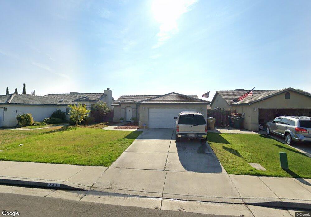
247 W Pilot Ave Bakersfield, CA 93308
Parkview Estates NeighborhoodEstimated Value: $290,000 - $342,000
3
Beds
2
Baths
1,081
Sq Ft
$296/Sq Ft
Est. Value
About This Home
This home is located at 247 W Pilot Ave, Bakersfield, CA 93308 and is currently estimated at $320,291, approximately $296 per square foot. 247 W Pilot Ave is a home located in Kern County with nearby schools including Highland Elementary School, Standard Middle School, and North High School.
Ownership History
Date
Name
Owned For
Owner Type
Purchase Details
Closed on
Mar 11, 2010
Sold by
Labastida Ronnie L and Labastida Denice
Bought by
Gamboa Brandon and Gamboa Lindsey
Current Estimated Value
Home Financials for this Owner
Home Financials are based on the most recent Mortgage that was taken out on this home.
Original Mortgage
$114,875
Outstanding Balance
$77,157
Interest Rate
5.25%
Mortgage Type
FHA
Estimated Equity
$243,134
Purchase Details
Closed on
May 19, 2005
Sold by
Labastida Ronnie L and Labastida Denice
Bought by
Labastida Ronnie L and Labastida Denice
Purchase Details
Closed on
Jan 6, 2004
Sold by
Palma Homes Inc
Bought by
Labastida Ronnie L and Labastida Denice
Home Financials for this Owner
Home Financials are based on the most recent Mortgage that was taken out on this home.
Original Mortgage
$93,472
Interest Rate
6.31%
Mortgage Type
Purchase Money Mortgage
Purchase Details
Closed on
Dec 29, 2003
Sold by
North Country Meadows Inc
Bought by
Palma Homes Inc
Home Financials for this Owner
Home Financials are based on the most recent Mortgage that was taken out on this home.
Original Mortgage
$93,472
Interest Rate
6.31%
Mortgage Type
Purchase Money Mortgage
Create a Home Valuation Report for This Property
The Home Valuation Report is an in-depth analysis detailing your home's value as well as a comparison with similar homes in the area
Home Values in the Area
Average Home Value in this Area
Purchase History
| Date | Buyer | Sale Price | Title Company |
|---|---|---|---|
| Gamboa Brandon | $117,000 | Ticor Title Company Of Ca | |
| Labastida Ronnie L | -- | -- | |
| Labastida Ronnie L | $117,000 | Fidelity Title | |
| Palma Homes Inc | $25,000 | Ticor Title |
Source: Public Records
Mortgage History
| Date | Status | Borrower | Loan Amount |
|---|---|---|---|
| Open | Gamboa Brandon | $114,875 | |
| Previous Owner | Labastida Ronnie L | $93,472 |
Source: Public Records
Tax History
| Year | Tax Paid | Tax Assessment Tax Assessment Total Assessment is a certain percentage of the fair market value that is determined by local assessors to be the total taxable value of land and additions on the property. | Land | Improvement |
|---|---|---|---|---|
| 2025 | $2,948 | $152,301 | $38,717 | $113,584 |
| 2024 | $2,850 | $149,315 | $37,958 | $111,357 |
| 2023 | $2,850 | $146,388 | $37,214 | $109,174 |
| 2022 | $2,756 | $143,519 | $36,485 | $107,034 |
| 2021 | $2,651 | $140,706 | $35,770 | $104,936 |
| 2020 | $2,557 | $139,265 | $35,404 | $103,861 |
| 2019 | $2,523 | $139,265 | $35,404 | $103,861 |
| 2018 | $2,437 | $133,859 | $34,030 | $99,829 |
| 2017 | $2,419 | $131,235 | $33,363 | $97,872 |
| 2016 | $2,201 | $128,662 | $32,709 | $95,953 |
| 2015 | $2,166 | $126,730 | $32,218 | $94,512 |
| 2014 | $2,121 | $124,248 | $31,587 | $92,661 |
Source: Public Records
Map
Nearby Homes
- 325 W Pilot Ave
- 327 Fern Meadow Dr
- 202 Sunny Meadow Dr
- 124 W Pilot Ave
- 283 Bighorn Meadow Dr
- 106 Misty Meadow Dr
- 423 Rian Noelle Ct
- 3724 Rock Meadow Ct
- 437 Rian Noelle Ct
- 444 Rian Noelle Ct
- 3727 Park Mountain Dr
- 3518 N Chester Ave
- 328 Deep Creek Dr
- 200 Electra Ave
- 243 Deep Creek Dr
- 201 Day Ave
- 309 Pilot Ave
- 238 Tanner Michael Dr
- 514 Blue Meadow Ct
- 316 Pilot Ave
- 243 W Pilot Ave
- 251 W Pilot Ave
- 239 W Pilot Ave
- 255 W Pilot Ave
- 250 Misty Meadow Dr
- 246 Misty Meadow Dr
- 254 Misty Meadow Dr
- 242 Misty Meadow Dr
- 258 Misty Meadow Dr
- 259 W Pilot Ave
- 246 W Pilot Ave
- 242 W Pilot Ave
- 250 W Pilot Ave
- 238 Misty Meadow Dr
- 262 Misty Meadow Dr
- 254 W Pilot Ave
- 238 W Pilot Ave
- 231 W Pilot Ave
- 234 W Pilot Ave
- 234 Misty Meadow Dr
Your Personal Tour Guide
Ask me questions while you tour the home.