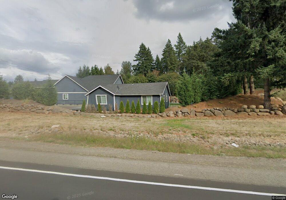
24710 S Highway 213 Mulino, OR 97042
Estimated Value: $690,000 - $1,443,000
2
Beds
1
Bath
1,093
Sq Ft
$927/Sq Ft
Est. Value
About This Home
This home is located at 24710 S Highway 213, Mulino, OR 97042 and is currently estimated at $1,013,435, approximately $927 per square foot. 24710 S Highway 213 is a home located in Clackamas County.
Ownership History
Date
Name
Owned For
Owner Type
Purchase Details
Closed on
Apr 18, 2019
Sold by
Hale Samuel C and Hale Leslie A
Bought by
Conroy Christina and Conroy James W
Current Estimated Value
Home Financials for this Owner
Home Financials are based on the most recent Mortgage that was taken out on this home.
Original Mortgage
$517,000
Outstanding Balance
$454,422
Interest Rate
4%
Mortgage Type
Construction
Estimated Equity
$559,013
Purchase Details
Closed on
Apr 29, 2018
Sold by
Hale Samuel C and Hale Leslie A
Bought by
Hale Samuel C and Hale Leslie A
Purchase Details
Closed on
Nov 27, 2002
Sold by
Holland Frank
Bought by
Hale Samuel C and Hale Leslie A
Purchase Details
Closed on
Sep 1, 2001
Sold by
Hale Samuel C and Hale Leslie A
Bought by
Holland Frank
Home Financials for this Owner
Home Financials are based on the most recent Mortgage that was taken out on this home.
Original Mortgage
$70,000
Interest Rate
7%
Mortgage Type
Seller Take Back
Create a Home Valuation Report for This Property
The Home Valuation Report is an in-depth analysis detailing your home's value as well as a comparison with similar homes in the area
Home Values in the Area
Average Home Value in this Area
Purchase History
| Date | Buyer | Sale Price | Title Company |
|---|---|---|---|
| Conroy Christina | -- | Lawyers Title | |
| Hale Samuel C | -- | Lawyers Title | |
| Hale Samuel C | -- | Lawyers Title | |
| Hale Samuel C | -- | -- | |
| Holland Frank | $140,000 | -- |
Source: Public Records
Mortgage History
| Date | Status | Borrower | Loan Amount |
|---|---|---|---|
| Open | Conroy Christina | $517,000 | |
| Previous Owner | Holland Frank | $70,000 |
Source: Public Records
Tax History Compared to Growth
Tax History
| Year | Tax Paid | Tax Assessment Tax Assessment Total Assessment is a certain percentage of the fair market value that is determined by local assessors to be the total taxable value of land and additions on the property. | Land | Improvement |
|---|---|---|---|---|
| 2025 | $8,614 | $636,637 | -- | -- |
| 2024 | $8,338 | $618,095 | -- | -- |
| 2023 | $8,338 | $580,334 | $0 | $0 |
| 2022 | $6,498 | $543,770 | $0 | $0 |
| 2021 | $7,978 | $679,250 | $0 | $0 |
| 2020 | $4,060 | $345,081 | $0 | $0 |
| 2019 | $1,869 | $158,825 | $0 | $0 |
| 2018 | $1,818 | $154,199 | $0 | $0 |
| 2017 | $1,716 | $149,708 | $0 | $0 |
| 2016 | $1,610 | $145,348 | $0 | $0 |
| 2015 | $1,564 | $141,115 | $0 | $0 |
| 2014 | $1,513 | $137,005 | $0 | $0 |
Source: Public Records
Map
Nearby Homes
- 24450 S Highway 213
- 13511 S Freeman Rd
- 14980 S Buckner Creek Rd
- 26250 S Milk Creek Cir
- 15032 S Carus Rd
- 13392 S Carus Rd
- 22876 S Highway 213
- 15678 S Spangler Rd
- 14212 S Mueller Rd
- 26684 S Fish Rd
- 12720 S Carus Rd
- 12192 S Mulino Rd
- 23501 S Beatie Rd
- 26740 S Fish Rd
- 15693 S Hidden Rd
- 11800 S Carus Rd
- 13920 S Lucia Ln
- 22396 S Parrot Creek Rd
- 23465 S Central Point Rd
- 12950 S New Era Rd
- 13611 S Union Hall Rd
- 13613 S Union Hall Rd
- 13617 S Union Hall Rd
- 24887 S Highway 213
- 24499 S Highway 213
- 24449 S Highway 213
- 24725 S Highway 213
- 24705 S Highway 213
- 13615 S Union Hall Rd
- 13639 S Union Hall Rd
- 13605 S Union Hall Rd
- 13643 S Union Hall Rd
- 13649 S Union Hall Rd
- 13565 S Union Hall Rd
- 24605 S Eldorado Rd
- 13601 S Union Hall Rd
- 13577 S Union Hall Rd
- 13792 S Union Hall Rd
- 24635 S Eldorado Rd