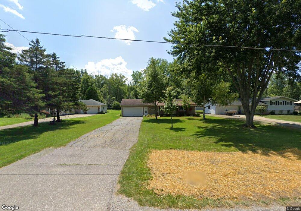
2472 E Curtis Rd Birch Run, MI 48415
Estimated Value: $156,000 - $190,000
3
Beds
1
Bath
1,060
Sq Ft
$166/Sq Ft
Est. Value
About This Home
This home is located at 2472 E Curtis Rd, Birch Run, MI 48415 and is currently estimated at $176,333, approximately $166 per square foot. 2472 E Curtis Rd is a home located in Saginaw County with nearby schools including Thomas White School, Martin G. Atkins Elementary School, and Bridgeport-Spaulding Middle School - Martin G. Atkins.
Ownership History
Date
Name
Owned For
Owner Type
Purchase Details
Closed on
May 12, 2023
Sold by
Robinson Ruth Ann Rachel
Bought by
Olorunlowo Ruth and Olorunlowo Abraham
Current Estimated Value
Purchase Details
Closed on
Mar 25, 2009
Sold by
Department Of Housing And Urban Develo
Bought by
Robinson Ruth Ann Rachel
Purchase Details
Closed on
Oct 17, 2008
Sold by
Chase Home Finance Llc
Bought by
Secretary Of Hud 2621640702703
Purchase Details
Closed on
Aug 15, 2008
Sold by
Saginaw County Deputy Sheriff
Bought by
Chase Home Finance Llc
Purchase Details
Closed on
Feb 13, 1998
Bought by
Smith Williams S and Smith Michelle L
Create a Home Valuation Report for This Property
The Home Valuation Report is an in-depth analysis detailing your home's value as well as a comparison with similar homes in the area
Purchase History
| Date | Buyer | Sale Price | Title Company |
|---|---|---|---|
| Olorunlowo Ruth | -- | None Listed On Document | |
| Robinson Ruth Ann Rachel | $50,000 | -- | |
| Secretary Of Hud 2621640702703 | -- | -- | |
| Chase Home Finance Llc | $143,200 | -- | |
| Smith Williams S | $70,000 | -- |
Source: Public Records
Tax History
| Year | Tax Paid | Tax Assessment Tax Assessment Total Assessment is a certain percentage of the fair market value that is determined by local assessors to be the total taxable value of land and additions on the property. | Land | Improvement |
|---|---|---|---|---|
| 2025 | $569 | $68,200 | $0 | $0 |
| 2024 | $552 | $70,000 | $0 | $0 |
| 2023 | $526 | $59,100 | $0 | $0 |
| 2022 | $1,793 | $52,800 | $0 | $0 |
| 2021 | $1,647 | $50,500 | $0 | $0 |
| 2020 | $1,605 | $48,400 | $0 | $0 |
| 2019 | $1,517 | $44,500 | $6,900 | $37,600 |
| 2018 | $458 | $41,800 | $0 | $0 |
| 2017 | $1,404 | $42,000 | $0 | $0 |
| 2016 | $1,530 | $42,000 | $0 | $0 |
| 2014 | -- | $42,500 | $0 | $36,400 |
| 2013 | -- | $42,300 | $0 | $0 |
Source: Public Records
Map
Nearby Homes
- 2921 Curtis Rd
- 6580 Bell Rd
- 6665 Bell Rd
- 3241 Curtis Rd
- VL Fort Rd
- 3937 Curtis Rd
- 6473 Sheridan Rd
- 7863 Sheridan Rd Lot #2 Rd
- 7863 Sheridan Rd Lot 4 Rd
- 1855 Hastings St
- 4333 Riverview Dr
- 1321 Ruby Ann Dr
- 5521 Cole Rd
- 1865 W Moore Rd
- 5126 Youngstown Place
- 1261 Houlihan Rd
- 6412 Tin Lizzy Ln
- 6250 Dixie Hwy
- 5665 East Rd
- 3838 Sherman St
Your Personal Tour Guide
Ask me questions while you tour the home.