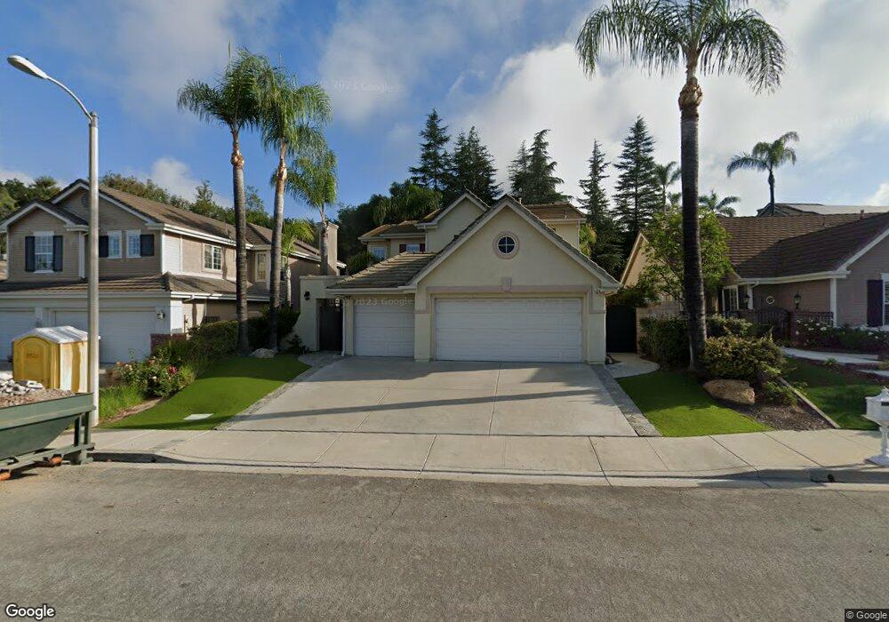
2473 Rutland Place Thousand Oaks, CA 91362
Estimated Value: $1,224,000 - $1,384,000
4
Beds
3
Baths
2,322
Sq Ft
$561/Sq Ft
Est. Value
About This Home
This home is located at 2473 Rutland Place, Thousand Oaks, CA 91362 and is currently estimated at $1,301,531, approximately $560 per square foot. 2473 Rutland Place is a home located in Ventura County with nearby schools including Lang Ranch, Los Cerritos Middle School, and Westlake High School.
Ownership History
Date
Name
Owned For
Owner Type
Purchase Details
Closed on
Aug 17, 2011
Sold by
Tsai Edmond E
Bought by
Tsai Larry B
Current Estimated Value
Purchase Details
Closed on
Dec 11, 2009
Sold by
Tsai Larry B
Bought by
Tsai Larry B
Purchase Details
Closed on
Dec 1, 1995
Sold by
Standard Pacific Corp
Bought by
Tsai Larry B and Tsai Edmond E
Purchase Details
Closed on
Oct 17, 1995
Sold by
Tsai Ta Lei Tso
Bought by
Tsai Larry B
Create a Home Valuation Report for This Property
The Home Valuation Report is an in-depth analysis detailing your home's value as well as a comparison with similar homes in the area
Home Values in the Area
Average Home Value in this Area
Purchase History
| Date | Buyer | Sale Price | Title Company |
|---|---|---|---|
| Tsai Larry B | $89,000 | Lawyers Title Company | |
| Tsai Larry B | -- | None Available | |
| Tsai Larry B | $290,000 | Chicago Title | |
| Tsai Larry B | -- | Chicago Title Insurance Co |
Source: Public Records
Tax History Compared to Growth
Tax History
| Year | Tax Paid | Tax Assessment Tax Assessment Total Assessment is a certain percentage of the fair market value that is determined by local assessors to be the total taxable value of land and additions on the property. | Land | Improvement |
|---|---|---|---|---|
| 2025 | $6,470 | $543,807 | $230,656 | $313,151 |
| 2024 | $6,470 | $533,145 | $226,134 | $307,011 |
| 2023 | $6,275 | $522,692 | $221,700 | $300,992 |
| 2022 | $6,148 | $512,444 | $217,353 | $295,091 |
| 2021 | $6,022 | $502,397 | $213,092 | $289,305 |
| 2020 | $5,583 | $497,248 | $210,908 | $286,340 |
| 2019 | $5,434 | $487,499 | $206,773 | $280,726 |
| 2018 | $5,320 | $477,941 | $202,719 | $275,222 |
| 2017 | $5,211 | $468,571 | $198,745 | $269,826 |
| 2016 | $5,156 | $459,385 | $194,849 | $264,536 |
| 2015 | $5,062 | $452,486 | $191,923 | $260,563 |
| 2014 | $4,985 | $443,624 | $188,164 | $255,460 |
Source: Public Records
Map
Nearby Homes
- 3249 Springbrook St
- 2499 Springbrook St
- 2427 Springbrook St
- 2347 Laurelwood Dr
- 2321 Sunny Point St
- 2311 Gillingham Cir
- 2848 Bayham Cir
- 2225 Calle Riscoso
- 2996 Eagles Claw Ave
- 3128 Casino Dr
- 3211 Cove Creek Ct
- 3240 Casino Dr
- 3182 Toulouse Cir
- 3023 Hollycrest Ave
- 3180 Versaille Ct
- 1914 Sunshine Ct
- 2001 Brookfield Dr
- 3044 Ferncrest Place Unit 140
- 3386 Montagne Way
- 2465 Rutland Place
- 2481 Rutland Place
- 2457 Rutland Place
- 3133 Woodgreen Ct
- 3109 Woodgreen Ct
- 3101 Woodgreen Ct
- 3117 Woodgreen Ct
- 2449 Rutland Place
- 3125 Woodgreen Ct
- 3141 Woodgreen Ct
- 2472 Rutland Place
- 2480 Rutland Place
- 2441 Rutland Place
- 2488 Rutland Place
- 2452 Rutland Place
- 3149 Woodgreen Ct
- 2496 Rutland Place
- 2436 Rutland Place
- 2433 Rutland Place
- 2504 Rutland Place