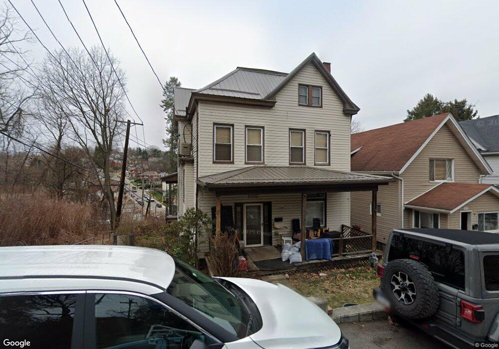
2474 Woodward Ave Pittsburgh, PA 15226
Brookline NeighborhoodEstimated Value: $163,000 - $253,000
4
Beds
2
Baths
1,746
Sq Ft
$117/Sq Ft
Est. Value
About This Home
This home is located at 2474 Woodward Ave, Pittsburgh, PA 15226 and is currently estimated at $204,166, approximately $116 per square foot. 2474 Woodward Ave is a home located in Allegheny County with nearby schools including Pittsburgh West Liberty K-5, Pittsburgh South Brook, and Pittsburgh Carrick High School.
Ownership History
Date
Name
Owned For
Owner Type
Purchase Details
Closed on
Apr 29, 2008
Sold by
Ligons Margaret
Bought by
Mangis Timothy L
Current Estimated Value
Home Financials for this Owner
Home Financials are based on the most recent Mortgage that was taken out on this home.
Original Mortgage
$64,000
Outstanding Balance
$40,594
Interest Rate
5.91%
Mortgage Type
New Conventional
Estimated Equity
$163,572
Purchase Details
Closed on
Mar 26, 2008
Sold by
Bank Of New York
Bought by
Ligons Margaret
Home Financials for this Owner
Home Financials are based on the most recent Mortgage that was taken out on this home.
Original Mortgage
$64,000
Outstanding Balance
$40,594
Interest Rate
5.91%
Mortgage Type
New Conventional
Estimated Equity
$163,572
Purchase Details
Closed on
Mar 28, 2003
Sold by
Papariella Gerard S and Papariella Janice M
Bought by
Gorsuch Kevin
Create a Home Valuation Report for This Property
The Home Valuation Report is an in-depth analysis detailing your home's value as well as a comparison with similar homes in the area
Home Values in the Area
Average Home Value in this Area
Purchase History
| Date | Buyer | Sale Price | Title Company |
|---|---|---|---|
| Mangis Timothy L | $85,350 | -- | |
| Ligons Margaret | $37,300 | -- | |
| Gorsuch Kevin | $77,500 | -- |
Source: Public Records
Mortgage History
| Date | Status | Borrower | Loan Amount |
|---|---|---|---|
| Open | Mangis Timothy L | $64,000 | |
| Previous Owner | Ligons Margaret | $27,950 |
Source: Public Records
Tax History Compared to Growth
Tax History
| Year | Tax Paid | Tax Assessment Tax Assessment Total Assessment is a certain percentage of the fair market value that is determined by local assessors to be the total taxable value of land and additions on the property. | Land | Improvement |
|---|---|---|---|---|
| 2025 | $1,751 | $76,000 | $25,500 | $50,500 |
| 2024 | $1,751 | $76,000 | $25,500 | $50,500 |
| 2023 | $1,751 | $76,000 | $25,500 | $50,500 |
| 2022 | $1,728 | $76,000 | $25,500 | $50,500 |
| 2021 | $1,747 | $76,000 | $25,500 | $50,500 |
| 2020 | $1,720 | $76,000 | $25,500 | $50,500 |
| 2019 | $1,720 | $76,000 | $25,500 | $50,500 |
| 2018 | $1,379 | $76,000 | $25,500 | $50,500 |
| 2017 | $1,720 | $76,000 | $25,500 | $50,500 |
| 2016 | $359 | $76,000 | $25,500 | $50,500 |
| 2015 | $359 | $76,000 | $25,500 | $50,500 |
| 2014 | $1,682 | $76,000 | $25,500 | $50,500 |
Source: Public Records
Map
Nearby Homes
- 2462 Pioneer Ave
- 2407 Woodward Ave
- 316 Winterhill St
- 2400 Pioneer Ave
- 547 Gallion Ave
- 2143 Plainview Ave
- 616 Rossmore Ave
- 522 Woodbourne Ave
- 320 Fernhill Ave
- 2054 Woodward Ave
- LOT Los Angeles Ave
- 2600 Neeld Ave
- 2219 Los Angeles Ave
- 339 Fernhill Ave
- 2704 Mackinaw Ave
- 2033 Plainview Ave
- 821 Rossmore Ave
- 646 Elmbank St
- 2317 Fremont Place
- 2302 Bensonia Ave
- 2470 Woodward Ave
- 2468 Woodward Ave
- 2464 Woodward Ave
- 2475 Woodward Ave
- 2473 Woodward Ave
- 2458 Woodward Ave
- 2451 W Liberty Ave
- 2467 Woodward Ave
- 2500 Plainview Ave
- 2510 Plainview Ave
- 2459 Woodward Ave
- 2456 Woodward Ave
- 2446 Woodward Ave
- 2501 Plainview Ave
- 2453 Woodward Ave
- 2505 Plainview Ave
- 2516 Plainview Ave
- 2509 Plainview Ave
- 2521 Plainview Ave
- 2519 Plainview Ave