24748 County Road 129 Roseau, MN 56751
Estimated Value: $209,000 - $217,822
--
Bed
--
Bath
1,008
Sq Ft
$212/Sq Ft
Est. Value
About This Home
This home is located at 24748 County Road 129, Roseau, MN 56751 and is currently estimated at $213,411, approximately $211 per square foot. 24748 County Road 129 is a home with nearby schools including Roseau Elementary School and Roseau Secondary School.
Ownership History
Date
Name
Owned For
Owner Type
Purchase Details
Closed on
Aug 27, 2021
Sold by
Grahn Michael Michael
Bought by
Kombe Howard Howard
Current Estimated Value
Purchase Details
Closed on
Dec 21, 2012
Bought by
Grahn Michael E
Create a Home Valuation Report for This Property
The Home Valuation Report is an in-depth analysis detailing your home's value as well as a comparison with similar homes in the area
Home Values in the Area
Average Home Value in this Area
Purchase History
| Date | Buyer | Sale Price | Title Company |
|---|---|---|---|
| Kombe Howard Howard | $180,000 | -- | |
| Grahn Michael E | $480,700 | -- |
Source: Public Records
Tax History Compared to Growth
Tax History
| Year | Tax Paid | Tax Assessment Tax Assessment Total Assessment is a certain percentage of the fair market value that is determined by local assessors to be the total taxable value of land and additions on the property. | Land | Improvement |
|---|---|---|---|---|
| 2025 | $2,176 | $215,200 | $29,400 | $185,800 |
| 2024 | $2,176 | $210,200 | $24,400 | $185,800 |
| 2023 | $2,016 | $218,800 | $24,000 | $194,800 |
| 2022 | $1,732 | $181,700 | $19,300 | $162,400 |
| 2021 | $1,890 | $146,600 | $19,100 | $127,500 |
| 2020 | $1,748 | $141,400 | $19,100 | $122,300 |
| 2019 | $1,790 | $142,500 | $17,100 | $125,400 |
| 2018 | $1,764 | $140,300 | $0 | $0 |
| 2017 | $1,768 | $143,900 | $0 | $0 |
| 2016 | $1,588 | $0 | $0 | $0 |
| 2013 | $1,040 | $0 | $0 | $0 |
| 2012 | $1,040 | $0 | $0 | $0 |
Source: Public Records
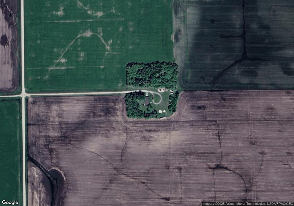
Map
Nearby Homes
- 42863 270th St
- 39947 River Oaks Dr
- 21136 State Highway 89
- 20247 410th Ave
- 29852 400th Ave
- 606 9th Ave SE
- 302 5th St SE
- 912 3rd St NE
- 306 7th St SW
- 310 7th St SW
- 707 Center St E
- TBD 11th Ave NE
- 40205 181st St
- 40149 181st St
- 38272 300th St
- 315 3rd Ave NE
- 507 6th St NE
- 505 6th St NE
- 503 6th St NE
- 17886 State Highway 89