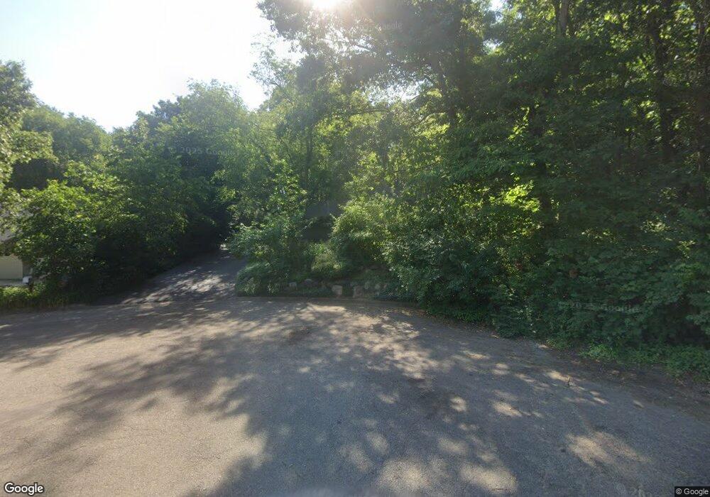
2476 Chippendale Dr Kalamazoo, MI 49009
Estimated Value: $444,000 - $545,000
4
Beds
4
Baths
3,206
Sq Ft
$153/Sq Ft
Est. Value
About This Home
This home is located at 2476 Chippendale Dr, Kalamazoo, MI 49009 and is currently estimated at $490,519, approximately $153 per square foot. 2476 Chippendale Dr is a home located in Kalamazoo County with nearby schools including King-Westwood Elementary School, Linden Grove Middle School, and Kalamazoo Central High School.
Ownership History
Date
Name
Owned For
Owner Type
Purchase Details
Closed on
Aug 14, 2006
Sold by
Arrick Daniel A and Arrick Karen J
Bought by
Dekema Kyle J and Dekema Jan M
Current Estimated Value
Home Financials for this Owner
Home Financials are based on the most recent Mortgage that was taken out on this home.
Original Mortgage
$200,000
Interest Rate
6.83%
Mortgage Type
Purchase Money Mortgage
Create a Home Valuation Report for This Property
The Home Valuation Report is an in-depth analysis detailing your home's value as well as a comparison with similar homes in the area
Home Values in the Area
Average Home Value in this Area
Purchase History
| Date | Buyer | Sale Price | Title Company |
|---|---|---|---|
| Dekema Kyle J | $322,000 | Chicago Title |
Source: Public Records
Mortgage History
| Date | Status | Borrower | Loan Amount |
|---|---|---|---|
| Closed | Dekema Kyle J | $200,000 |
Source: Public Records
Tax History Compared to Growth
Tax History
| Year | Tax Paid | Tax Assessment Tax Assessment Total Assessment is a certain percentage of the fair market value that is determined by local assessors to be the total taxable value of land and additions on the property. | Land | Improvement |
|---|---|---|---|---|
| 2025 | $7,790 | $229,400 | $0 | $0 |
| 2024 | $1,873 | $219,600 | $0 | $0 |
| 2023 | $1,786 | $198,200 | $0 | $0 |
| 2022 | $7,226 | $179,800 | $0 | $0 |
| 2021 | $6,685 | $175,100 | $0 | $0 |
| 2020 | $6,374 | $169,100 | $0 | $0 |
| 2019 | $6,040 | $159,400 | $0 | $0 |
| 2018 | $5,899 | $145,500 | $0 | $0 |
| 2017 | $0 | $145,500 | $0 | $0 |
| 2016 | -- | $145,900 | $0 | $0 |
| 2015 | -- | $141,500 | $17,800 | $123,700 |
| 2014 | -- | $141,500 | $0 | $0 |
Source: Public Records
Map
Nearby Homes
- 6480 Saybrook Dr
- 2159 Walker Trail
- 6330 Saybrook Dr
- 2755 N 9th St
- 6309 Maple Leaf Ave
- 2900 Redbud Trail
- 6343 Rose Arbour Ave
- 6374 Killington Dr
- 6209 Litchfield Ln
- 7217 Hawthorn Valley Ave
- 6368 Hollison Dr
- 3700 Oakharbor St
- 1533 N Village Cir
- 1531 N Village Cir
- Silverton Plan at West Point Condominiums
- Ashford Plan at West Point Condominiums
- 1423 N Village Cir
- VL W S M 43 Hwy
- 1425 N 7th St
- 1378 S Village Cir Unit 7
- 2460 Chippendale Dr
- 2506 Chippendale Dr
- 6545 Nightingale Ave
- 6548 Nightingale Ave
- 2536 Chippendale Dr
- 2491 Chippendale Dr
- 2475 Chippendale Dr
- 2521 Chippendale Dr
- 6521 Nightingale Ave
- 6605 Morningstar Way
- 2581 Cutty Sark Dr
- 6629 Morningstar Way
- 2563 Cutty Sark Dr
- 6586 Morningstar Way
- 6497 Nightingale Ave
- 2442 N 9th St
- 2503 Cutty Sark Dr
- 2500 N 9th St
- 2651 Cutty Sark Dr
- 6610 Morningstar Way
