24767 Highway D15 Iowa Falls, IA 50126
Estimated Value: $235,000 - $294,237
4
Beds
2
Baths
2,214
Sq Ft
$120/Sq Ft
Est. Value
About This Home
This home is located at 24767 Highway D15, Iowa Falls, IA 50126 and is currently estimated at $264,619, approximately $119 per square foot. 24767 Highway D15 is a home located in Hardin County with nearby schools including Pineview Elementary School, Rock Run Elementary School, and Riverbend Middle School.
Ownership History
Date
Name
Owned For
Owner Type
Purchase Details
Closed on
Jul 7, 2022
Sold by
Jones Marianne B and Jones Donald G
Bought by
Ross Luke M
Current Estimated Value
Home Financials for this Owner
Home Financials are based on the most recent Mortgage that was taken out on this home.
Original Mortgage
$295,200
Outstanding Balance
$277,402
Interest Rate
3.96%
Mortgage Type
Construction
Estimated Equity
-$12,783
Create a Home Valuation Report for This Property
The Home Valuation Report is an in-depth analysis detailing your home's value as well as a comparison with similar homes in the area
Home Values in the Area
Average Home Value in this Area
Purchase History
| Date | Buyer | Sale Price | Title Company |
|---|---|---|---|
| Ross Luke M | $369,000 | -- |
Source: Public Records
Mortgage History
| Date | Status | Borrower | Loan Amount |
|---|---|---|---|
| Open | Ross Luke M | $295,200 |
Source: Public Records
Tax History Compared to Growth
Tax History
| Year | Tax Paid | Tax Assessment Tax Assessment Total Assessment is a certain percentage of the fair market value that is determined by local assessors to be the total taxable value of land and additions on the property. | Land | Improvement |
|---|---|---|---|---|
| 2025 | $1,952 | $195,620 | $21,720 | $173,900 |
| 2024 | $1,952 | $154,430 | $16,100 | $138,330 |
| 2023 | $896 | $154,370 | $16,100 | $138,270 |
| 2022 | $1,798 | $126,890 | $13,100 | $113,790 |
| 2021 | $1,798 | $126,890 | $13,100 | $113,790 |
| 2020 | $1,556 | $106,060 | $11,790 | $94,270 |
| 2019 | $1,522 | $106,060 | $0 | $0 |
| 2018 | $1,522 | $111,590 | $0 | $0 |
| 2017 | $1,632 | $114,110 | $0 | $0 |
| 2016 | $1,650 | $114,110 | $0 | $0 |
| 2015 | $1,678 | $113,050 | $0 | $0 |
| 2014 | $224 | $19,290 | $0 | $0 |
Source: Public Records
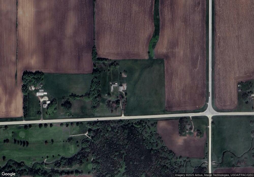
Map
Nearby Homes
- 116 W 2nd St
- 718 Sherman St
- 26785 135th St
- 627 Depot St
- 204 & 206 Elm St
- 110 Rocksylvania Unit B01 Ave Unit B01
- 110 Rocksylvania Ave Unit 102
- 110 Rocksylvania Ave Unit multiple
- 110 Rocksylvania Ave Unit 101
- 110 Rocksylvania Ave Unit 202
- 110 Rocksylvania Ave
- 715 N Oak St
- 803 Oak St
- 136 S Oak St
- 516 Hickory St
- 1707 Crescent Dr
- 605 Stevens St
- 522 Main St
- 614 Bliss Blvd
- 515 Main St
- 24615 Highway D15 Unit CO
- 24968 Highway D15 Unit CO
- 24968 Highway D15 Unit CO
- 25093 Highway D15 Unit CO
- 25093 Highway D15 Unit CO
- 25236 Highway D15 Unit CO
- 24241 Highway D15 Unit CO
- 24505 130th St
- 24575 130th St
- 24509 130th St
- 24514 130th St
- 24502 130th St
- 24046 Highway D15 Unit CO
- 24284 130th St
- 24284 130th St
- 25638 Highway D15 Unit CO
- 11908 Mm Ave
- 12051 Mm Ave
- 23889 Highway D15
- 25679 Highway D15 Unit CO