24778 Rays Point Rd Saint Michaels, MD 21663
Estimated Value: $550,000 - $683,000
3
Beds
2
Baths
1,940
Sq Ft
$309/Sq Ft
Est. Value
About This Home
This home is located at 24778 Rays Point Rd, Saint Michaels, MD 21663 and is currently estimated at $599,352, approximately $308 per square foot. 24778 Rays Point Rd is a home located in Talbot County with nearby schools including St. Michaels Elementary School, St. Michaels Middle/High School, and Easton High School.
Ownership History
Date
Name
Owned For
Owner Type
Purchase Details
Closed on
May 28, 2010
Sold by
Lot 9 Llc
Bought by
Hopkins David W and Hopkins Kathleen L
Current Estimated Value
Purchase Details
Closed on
Sep 4, 2001
Sold by
Granger Peggy C
Bought by
Lot 9 Llc
Purchase Details
Closed on
Jan 5, 2000
Sold by
Granger Peggy C and Granger Herbert E
Bought by
Granger Peggy C
Create a Home Valuation Report for This Property
The Home Valuation Report is an in-depth analysis detailing your home's value as well as a comparison with similar homes in the area
Home Values in the Area
Average Home Value in this Area
Purchase History
We collect this data history from publicly available records. To have your information removed, we recommend requesting removal directly through your county’s website.
| Date | Buyer | Sale Price | Title Company |
|---|---|---|---|
| Hopkins David W | $308,000 | -- | |
| Lot 9 Llc | $310,000 | -- | |
| Granger Peggy C | -- | -- |
Source: Public Records
Tax History
| Year | Tax Paid | Tax Assessment Tax Assessment Total Assessment is a certain percentage of the fair market value that is determined by local assessors to be the total taxable value of land and additions on the property. | Land | Improvement |
|---|---|---|---|---|
| 2025 | $2,608 | $353,300 | $144,000 | $209,300 |
| 2024 | $2,560 | $339,167 | $0 | $0 |
| 2023 | $2,376 | $325,033 | $0 | $0 |
| 2022 | $2,236 | $310,900 | $144,000 | $166,900 |
| 2021 | $2,095 | $301,667 | $0 | $0 |
| 2020 | $2,095 | $292,433 | $0 | $0 |
| 2019 | $2,085 | $283,200 | $120,000 | $163,200 |
| 2018 | $2,013 | $279,033 | $0 | $0 |
| 2017 | $1,913 | $274,867 | $0 | $0 |
| 2016 | $1,800 | $270,700 | $0 | $0 |
| 2015 | $1,599 | $270,700 | $0 | $0 |
| 2014 | $1,599 | $270,700 | $0 | $0 |
Source: Public Records
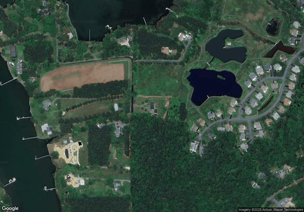
Map
Nearby Homes
- 24912 Back Creek Dr
- 24965 Back Creek Dr
- 24977 Back Creek Dr
- 7865 Pea Neck Rd
- 962 San Domingo Ct
- 1206 Washington Dr
- 1211 Washington Dr
- 1215 Washington Dr
- 100 Bush Terrace
- 204 Lincoln Ave
- 938 Marea Terrace
- 314 Cove View Dr
- 24390 Oakwood Park Rd
- 602 Landing Rd
- 601 Cove Rd
- 105 Seymour Ave
- 912 Calvert Ave
- 807 Radcliff Ave
- Lot 16A Meadow St
- 204 E Marengo St
- 24803 Rays Point Rd
- 24892 Back Creek Dr
- 24896 Back Creek Dr
- 24902 Back Creek Dr
- 24885 Back Creek Dr
- 24807 Rays Point Rd
- 24906 Back Creek Dr
- 24895 Back Creek Dr
- 24891 Back Creek Dr
- 24899 Back Creek Dr
- 24756 Rays Point Rd
- 24760 Rays Point Rd
- 7936 Pond Haven Ct
- 24903 Back Creek Dr
- 24748 Rays Point Rd
- 24819 Rays Point Rd
- 7904 Hart Glen Ct
- 7904 Hart Glen Ct
- 7951 Pond Haven Ct
- 7900 Hart Glen Ct
Your Personal Tour Guide
Ask me questions while you tour the home.