Estimated Value: $608,391 - $699,000
2
Beds
2
Baths
1,162
Sq Ft
$550/Sq Ft
Est. Value
About This Home
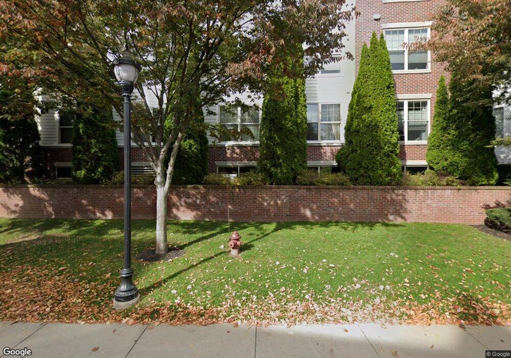
This home is located at 248 Albion St Unit 325, Wakefield, MA 01880 and is currently estimated at $639,348, approximately $550 per square foot. 248 Albion St Unit 325 is a home located in Middlesex County with nearby schools including Wakefield Memorial High School, St Joseph School, and St. Patrick Elementary School.
Ownership History
Date
Name
Owned For
Owner Type
Purchase Details
Closed on
Feb 28, 2006
Sold by
Wakefield Xing Llc
Bought by
Desantis Maria
Current Estimated Value
Home Financials for this Owner
Home Financials are based on the most recent Mortgage that was taken out on this home.
Original Mortgage
$260,000
Outstanding Balance
$146,941
Interest Rate
6.17%
Mortgage Type
Purchase Money Mortgage
Estimated Equity
$492,407
Create a Home Valuation Report for This Property
The Home Valuation Report is an in-depth analysis detailing your home's value as well as a comparison with similar homes in the area
Home Values in the Area
Average Home Value in this Area
Purchase History
| Date | Buyer | Sale Price | Title Company |
|---|---|---|---|
| Desantis Maria | $345,972 | -- |
Source: Public Records
Mortgage History
| Date | Status | Borrower | Loan Amount |
|---|---|---|---|
| Open | Desantis Maria | $260,000 |
Source: Public Records
Tax History Compared to Growth
Tax History
| Year | Tax Paid | Tax Assessment Tax Assessment Total Assessment is a certain percentage of the fair market value that is determined by local assessors to be the total taxable value of land and additions on the property. | Land | Improvement |
|---|---|---|---|---|
| 2025 | $5,547 | $488,700 | $0 | $488,700 |
| 2024 | $5,579 | $495,900 | $0 | $495,900 |
| 2023 | $4,931 | $420,400 | $0 | $420,400 |
| 2022 | $5,091 | $413,200 | $0 | $413,200 |
| 2021 | $4,974 | $390,700 | $0 | $390,700 |
| 2020 | $4,692 | $367,400 | $0 | $367,400 |
| 2019 | $4,489 | $349,900 | $0 | $349,900 |
| 2018 | $4,153 | $320,700 | $0 | $320,700 |
| 2017 | $3,951 | $303,200 | $0 | $303,200 |
| 2016 | $3,924 | $290,900 | $0 | $290,900 |
| 2015 | $3,710 | $275,200 | $0 | $275,200 |
| 2014 | $3,415 | $267,200 | $0 | $267,200 |
Source: Public Records
About This Building
Map
Nearby Homes
- 5 Byron St
- 69 Foundry St Unit 310
- 62 Foundry St Unit 310
- 62 Foundry St Unit 312
- 62 Foundry St Unit 506
- 62 Foundry St Unit 413
- 62 Foundry St Unit 202
- 62 Foundry St Unit 208
- 62 Foundry St Unit 414
- 62 Foundry St Unit 406
- 62 Foundry St Unit 313
- Unit 208 Plan at Wrenly
- Unit 310 Plan at Wrenly
- 10 Converse St
- 6 Avon Ct Unit 2
- 34 Cedar St
- 47 Emerson St
- 50 Albion St
- 13 Chestnut St Unit A
- 46 Church St Unit 2
- 248 Albion St Unit 348
- 248 Albion St Unit 347
- 248 Albion St Unit 346
- 248 Albion St Unit 345
- 248 Albion St Unit 344
- 248 Albion St Unit 343
- 248 Albion St Unit 342
- 248 Albion St Unit 341
- 248 Albion St Unit 338
- 248 Albion St Unit 337
- 248 Albion St Unit 336
- 248 Albion St Unit 335
- 248 Albion St Unit 334
- 248 Albion St Unit 333
- 248 Albion St Unit 332
- 248 Albion St Unit 331
- 248 Albion St Unit 328
- 248 Albion St Unit 327
- 248 Albion St Unit 326
- 248 Albion St Unit 324