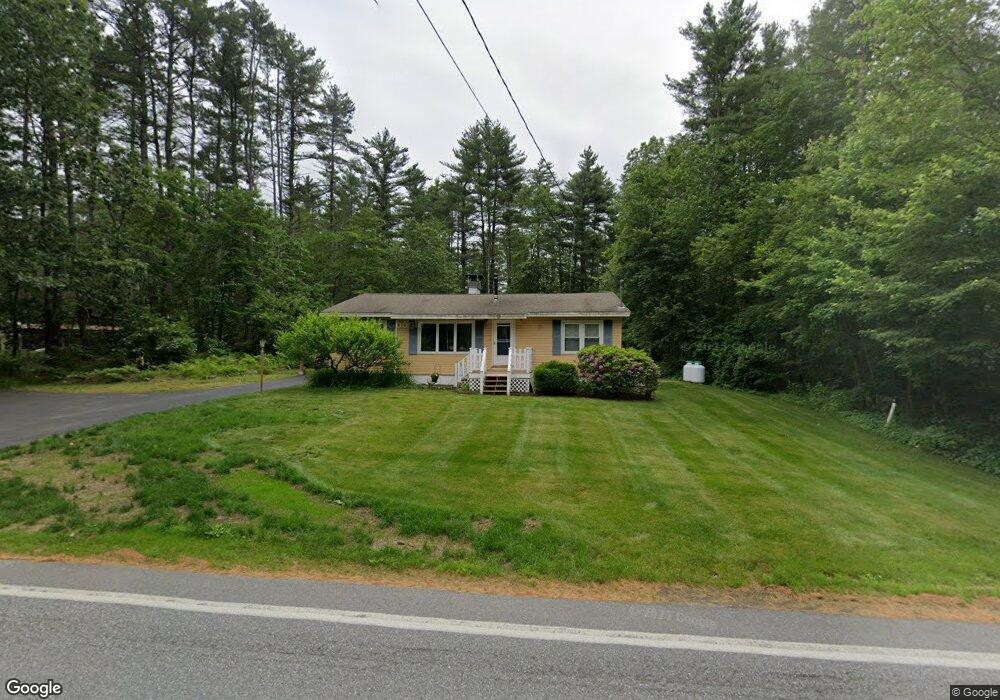
248 Back River Rd Bedford, NH 03110
Bedford NeighborhoodEstimated Value: $533,453 - $597,000
3
Beds
1
Bath
1,389
Sq Ft
$414/Sq Ft
Est. Value
About This Home
This home is located at 248 Back River Rd, Bedford, NH 03110 and is currently estimated at $574,863, approximately $413 per square foot. 248 Back River Rd is a home located in Hillsborough County with nearby schools including Mckelvie Intermediate School, Ross A. Lurgio Middle School, and Bedford High School.
Ownership History
Date
Name
Owned For
Owner Type
Purchase Details
Closed on
Jul 24, 2024
Sold by
Granfield Deborah L
Bought by
Deborah Granfield Lt and Granfield
Current Estimated Value
Purchase Details
Closed on
Sep 19, 2005
Sold by
Stafford Donna L
Bought by
Granfield Deborah L and Granfield William D
Home Financials for this Owner
Home Financials are based on the most recent Mortgage that was taken out on this home.
Original Mortgage
$198,500
Interest Rate
5.84%
Mortgage Type
Purchase Money Mortgage
Create a Home Valuation Report for This Property
The Home Valuation Report is an in-depth analysis detailing your home's value as well as a comparison with similar homes in the area
Home Values in the Area
Average Home Value in this Area
Purchase History
| Date | Buyer | Sale Price | Title Company |
|---|---|---|---|
| Deborah Granfield Lt | -- | None Available | |
| Deborah Granfield Lt | -- | None Available | |
| Granfield Deborah L | $290,000 | -- | |
| Granfield Deborah L | $290,000 | -- |
Source: Public Records
Mortgage History
| Date | Status | Borrower | Loan Amount |
|---|---|---|---|
| Previous Owner | Granfield Deborah L | $190,400 | |
| Previous Owner | Granfield Deborah L | $78,000 | |
| Previous Owner | Granfield Deborah L | $198,500 |
Source: Public Records
Tax History
| Year | Tax Paid | Tax Assessment Tax Assessment Total Assessment is a certain percentage of the fair market value that is determined by local assessors to be the total taxable value of land and additions on the property. | Land | Improvement |
|---|---|---|---|---|
| 2024 | $6,857 | $433,700 | $230,700 | $203,000 |
| 2023 | $6,419 | $433,700 | $230,700 | $203,000 |
| 2022 | $6,116 | $347,500 | $171,000 | $176,500 |
| 2021 | $5,956 | $347,500 | $171,000 | $176,500 |
| 2020 | $5,570 | $278,200 | $124,300 | $153,900 |
| 2019 | $5,272 | $278,200 | $124,300 | $153,900 |
| 2018 | $3,998 | $196,000 | $88,300 | $107,700 |
| 2017 | $3,706 | $196,000 | $88,300 | $107,700 |
| 2016 | $4,671 | $208,800 | $87,900 | $120,900 |
| 2015 | $4,752 | $208,800 | $87,900 | $120,900 |
| 2014 | $4,698 | $208,800 | $87,900 | $120,900 |
| 2013 | $4,629 | $208,800 | $87,900 | $120,900 |
Source: Public Records
Map
Nearby Homes
- 179 Back River Rd
- 17 Walnut Cir
- 65 Sebbins Pond Dr
- 283 Liberty Hill Rd
- 769 Daniel Webster Hwy
- 130 Middlesex Rd
- 9 Kimberly Dr
- 76 Shelburne Rd
- 147 Middlesex Rd
- 3954 Brown Ave
- 28 Pearson Rd
- 22 Back River Rd
- 29 Bedford Rd
- 3 Mustang Dr Unit B
- 11B Mustang Dr Unit C
- 11B Mustang Dr Unit B
- 13B Mustang Dr Unit C
- 13B Mustang Dr Unit B
- 11B Mustang Dr Unit END UNIT- A
- 13B Mustang Dr Unit END UNIT-A
- 244 Back River Rd
- 250 Back River Rd
- 249 Back River Rd
- 253 Back River Rd
- 108 Smith Rd
- 257 Back River Rd
- 103 Smith Rd Unit 17-1
- 232 Back River Rd
- 238 Back River Rd
- 101 Smith Rd
- 261 Back River Rd
- 100 Smith Rd
- 231 Back River Rd
- 97 Smith Rd
- 230 Back River Rd
- 270 Back River Rd
- 6 Greenmeadow Ln
- 96 Smith Rd
- 10 Greenmeadow Ln
- 227 Back River Rd
Your Personal Tour Guide
Ask me questions while you tour the home.