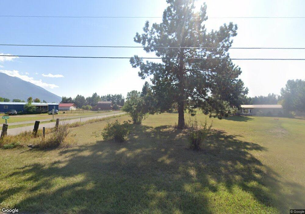
248 Bad Rock Dr Columbia Falls, MT 59912
Estimated Value: $582,000 - $729,000
4
Beds
1
Bath
1,344
Sq Ft
$476/Sq Ft
Est. Value
About This Home
This home is located at 248 Bad Rock Dr, Columbia Falls, MT 59912 and is currently estimated at $639,672, approximately $475 per square foot. 248 Bad Rock Dr is a home located in Flathead County with nearby schools including Ruder Elementary School, Columbia Falls Junior High School (7-8), and Columbia Falls High School.
Ownership History
Date
Name
Owned For
Owner Type
Purchase Details
Closed on
Jul 26, 2021
Sold by
Kiser Taylor
Bought by
Kiser Tyler
Current Estimated Value
Home Financials for this Owner
Home Financials are based on the most recent Mortgage that was taken out on this home.
Original Mortgage
$211,000
Outstanding Balance
$191,283
Interest Rate
2.7%
Mortgage Type
New Conventional
Estimated Equity
$448,389
Purchase Details
Closed on
Apr 7, 2014
Sold by
Parkhill Gary W and Parkhill Sharon K
Bought by
Kiser Taylor and Kiser Tyler
Home Financials for this Owner
Home Financials are based on the most recent Mortgage that was taken out on this home.
Original Mortgage
$177,755
Interest Rate
4.32%
Mortgage Type
New Conventional
Create a Home Valuation Report for This Property
The Home Valuation Report is an in-depth analysis detailing your home's value as well as a comparison with similar homes in the area
Home Values in the Area
Average Home Value in this Area
Purchase History
| Date | Buyer | Sale Price | Title Company |
|---|---|---|---|
| Kiser Tyler | -- | Fidelity National Title Co | |
| Kiser Taylor | -- | First American Title Company |
Source: Public Records
Mortgage History
| Date | Status | Borrower | Loan Amount |
|---|---|---|---|
| Open | Kiser Tyler | $211,000 | |
| Closed | Kiser Taylor | $177,755 |
Source: Public Records
Tax History Compared to Growth
Tax History
| Year | Tax Paid | Tax Assessment Tax Assessment Total Assessment is a certain percentage of the fair market value that is determined by local assessors to be the total taxable value of land and additions on the property. | Land | Improvement |
|---|---|---|---|---|
| 2025 | $2,150 | $539,600 | $0 | $0 |
| 2024 | $3,070 | $496,300 | $0 | $0 |
| 2023 | $3,092 | $496,300 | $0 | $0 |
| 2022 | $2,397 | $302,400 | $0 | $0 |
| 2021 | $2,612 | $302,400 | $0 | $0 |
| 2020 | $2,202 | $244,900 | $0 | $0 |
| 2019 | $2,084 | $244,900 | $0 | $0 |
| 2018 | $1,794 | $202,000 | $0 | $0 |
| 2017 | $1,746 | $202,000 | $0 | $0 |
| 2016 | $1,600 | $181,980 | $0 | $0 |
| 2015 | $1,590 | $181,980 | $0 | $0 |
| 2014 | $1,640 | $113,844 | $0 | $0 |
Source: Public Records
Map
Nearby Homes
- 346 Lynnewood Dr
- 556 Windy Acres Dr
- 101 Jensen Rd
- 155 Jensen Rd
- 701 Legacy Ln
- 670 Homestake Trail
- 3285 Mt Highway 206
- 597 Eckelberry Dr
- 300 Jay Hawk Ln
- 147 Patriots Ln
- 189 Patriots Ln
- Nhn Trap Rd
- 211 Patriots Ln
- 628 Kelley Rd
- 255 Patriots Ln
- 271 Patriots Ln
- 680 Kelley Rd
- 125 Firehall Ln
- 169 Firehall Ln
- 474 Trap Rd
- 238 Bad Rock Dr
- 224 Bad Rock Dr
- 244 Bad Rock Dr
- 256 Bad Rock Dr
- 269 Bad Rock Dr
- NHN Larry Ln
- 262 Bad Rock Dr
- 270 Bad Rock Dr
- 210 Bad Rock Dr
- 235 Bad Rock Dr
- 226 Bad Rock Dr
- 57 Larry Ln
- 275 Bad Rock Dr
- 259 Bad Rock Dr
- 278 Bad Rock Dr
- 278 Bad Rock Dr
- 280 Bad Rock Dr
- 205 Bad Rock Dr
- 285 Bad Rock Dr
- 71 Larry Ln
