248 Laurel Ridge Dr Lincolnton, NC 28092
Estimated Value: $357,000 - $373,185
3
Beds
2
Baths
1,424
Sq Ft
$258/Sq Ft
Est. Value
About This Home
This home is located at 248 Laurel Ridge Dr, Lincolnton, NC 28092 and is currently estimated at $367,046, approximately $257 per square foot. 248 Laurel Ridge Dr is a home with nearby schools including Norris S. Childers Elementary School, West Lincoln Middle, and West Lincoln High School.
Ownership History
Date
Name
Owned For
Owner Type
Purchase Details
Closed on
Jun 8, 2021
Sold by
Key Builders Inc
Bought by
Rivera Ana M
Current Estimated Value
Home Financials for this Owner
Home Financials are based on the most recent Mortgage that was taken out on this home.
Original Mortgage
$215,000
Outstanding Balance
$195,636
Interest Rate
2.9%
Mortgage Type
Construction
Estimated Equity
$171,410
Purchase Details
Closed on
May 15, 2020
Sold by
Key Brian and Key Laura
Bought by
Key Builders Inc
Create a Home Valuation Report for This Property
The Home Valuation Report is an in-depth analysis detailing your home's value as well as a comparison with similar homes in the area
Home Values in the Area
Average Home Value in this Area
Purchase History
| Date | Buyer | Sale Price | Title Company |
|---|---|---|---|
| Rivera Ana M | $32,000 | None Available | |
| Key Builders Inc | $30,000 | None Available |
Source: Public Records
Mortgage History
| Date | Status | Borrower | Loan Amount |
|---|---|---|---|
| Open | Rivera Ana M | $215,000 |
Source: Public Records
Tax History Compared to Growth
Tax History
| Year | Tax Paid | Tax Assessment Tax Assessment Total Assessment is a certain percentage of the fair market value that is determined by local assessors to be the total taxable value of land and additions on the property. | Land | Improvement |
|---|---|---|---|---|
| 2025 | $1,984 | $290,657 | $36,620 | $254,037 |
| 2024 | $1,964 | $290,657 | $36,620 | $254,037 |
| 2023 | $1,959 | $290,657 | $36,620 | $254,037 |
| 2022 | $1,307 | $157,935 | $26,080 | $131,855 |
| 2021 | $144 | $19,080 | $19,080 | $0 |
| 2020 | $0 | $0 | $0 | $0 |
Source: Public Records
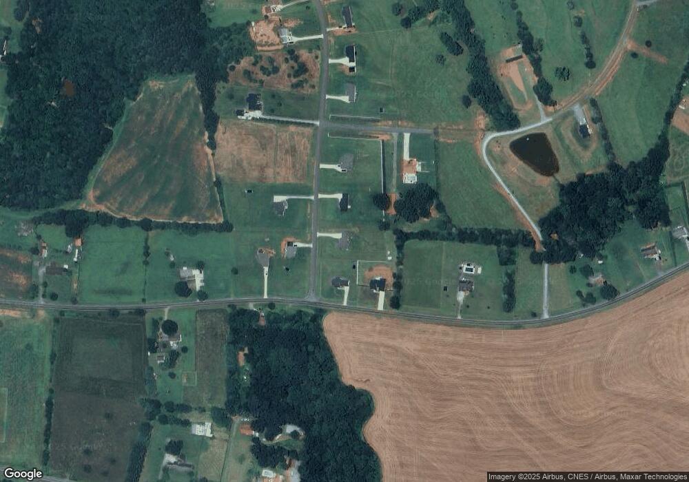
Map
Nearby Homes
- 142 Alf Hoover Rd
- 3300 Paul Heavner Ln
- 2508 Rock Dam Rd
- 1000 Creekside Dr
- 938 Lyndsey Brook Ct
- 3817 Spike Ln
- 1084 Lyndsey Brook Ct
- 1074 Lyndsey Brook Ct
- 1259 Haywood Ct
- 2383 N Carolina 182
- 000 Flag Ln Unit 53
- 00 Pleasant Grove Church Rd
- 1643 Flag Ln
- 963 Sunbeam Dr
- 1865 Rockdam Creek Ct
- 3103 Richview Dr
- 1357 Malden Ct
- 1495 Leonards Fork Church Rd
- 2700 Moose Gantt Trail
- 00 George Brown Rd Unit 10
- 2988 Paul Elmore Rd
- 258 Laurel Ridge Dr
- 247 Laurel Ridge Dr
- Lot#14 Laurel Ridge Dr
- Lot#12 Laurel Ridge Dr
- Lot#10 Laurel Ridge Dr
- Lot#12 Laurel Ridge Rd
- Lot#14 Laurel Ridge Rd
- Lot#22 Laurel Ridge Dr
- Lot#10 Laurel Ridge Rd
- Lot 22 Laurel Ridge Dr
- Lot 20 Laurel Ridge Dr
- Lot 18 Laurel Ridge Dr
- Lot#13 Laurel Ridge Dr
- Lot #3 Laurel Ridge Dr
- Lot#23 Laurel Ridge Dr
- Lot#15 Laurel Ridge Dr
- Lot 7 Laurel Ridge Dr
- Lot#15 Laurel Ridge Rd
- Lot#3 Laurel Ridge Rd