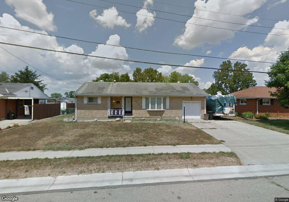
248 Littlebrook Dr Fairfield, OH 45014
Estimated Value: $231,441 - $240,000
3
Beds
1
Bath
1,013
Sq Ft
$234/Sq Ft
Est. Value
About This Home
This home is located at 248 Littlebrook Dr, Fairfield, OH 45014 and is currently estimated at $237,360, approximately $234 per square foot. 248 Littlebrook Dr is a home located in Butler County with nearby schools including Fairfield West Elementary School, Creekside Middle School, and Fairfield Senior High School.
Ownership History
Date
Name
Owned For
Owner Type
Purchase Details
Closed on
Oct 21, 1999
Sold by
Fogle Jeffrey L
Bought by
Fields Deborah M
Current Estimated Value
Home Financials for this Owner
Home Financials are based on the most recent Mortgage that was taken out on this home.
Original Mortgage
$88,650
Outstanding Balance
$26,849
Interest Rate
7.87%
Mortgage Type
FHA
Estimated Equity
$210,511
Purchase Details
Closed on
Sep 6, 1994
Sold by
Stewart Jack L
Bought by
Fogle Jeffrey L and Cornett Donna
Home Financials for this Owner
Home Financials are based on the most recent Mortgage that was taken out on this home.
Original Mortgage
$88,906
Interest Rate
8.59%
Mortgage Type
FHA
Create a Home Valuation Report for This Property
The Home Valuation Report is an in-depth analysis detailing your home's value as well as a comparison with similar homes in the area
Home Values in the Area
Average Home Value in this Area
Purchase History
| Date | Buyer | Sale Price | Title Company |
|---|---|---|---|
| Fields Deborah M | $102,000 | -- | |
| Fogle Jeffrey L | $89,000 | -- |
Source: Public Records
Mortgage History
| Date | Status | Borrower | Loan Amount |
|---|---|---|---|
| Open | Fields Deborah M | $88,650 | |
| Previous Owner | Fogle Jeffrey L | $88,906 |
Source: Public Records
Tax History Compared to Growth
Tax History
| Year | Tax Paid | Tax Assessment Tax Assessment Total Assessment is a certain percentage of the fair market value that is determined by local assessors to be the total taxable value of land and additions on the property. | Land | Improvement |
|---|---|---|---|---|
| 2024 | $2,197 | $58,370 | $11,860 | $46,510 |
| 2023 | $2,186 | $57,520 | $11,860 | $45,660 |
| 2022 | $2,113 | $43,470 | $11,860 | $31,610 |
| 2021 | $1,842 | $42,850 | $11,860 | $30,990 |
| 2020 | $1,916 | $42,850 | $11,860 | $30,990 |
| 2019 | $3,000 | $34,750 | $11,510 | $23,240 |
| 2018 | $1,767 | $34,750 | $11,510 | $23,240 |
| 2017 | $1,784 | $34,750 | $11,510 | $23,240 |
| 2016 | $1,710 | $31,720 | $11,510 | $20,210 |
| 2015 | $1,631 | $31,720 | $11,510 | $20,210 |
| 2014 | $1,871 | $31,720 | $11,510 | $20,210 |
| 2013 | $1,871 | $39,240 | $11,510 | $27,730 |
Source: Public Records
Map
Nearby Homes
- 398 Vinnedge Ave
- 5005 River Rd
- 71 Cole Dr
- 324 Palomino Ct
- 396 Blackburn Ave
- 4923 Potomac Dr
- 512 Fenwick Dr
- 4578 Cavalier Ct
- 4960 Pleasant Ave
- 641 Vinnedge Ave
- 5015 Southview Dr
- 4991 Celadon Ave
- 4638 Celadon Ave
- 691 Glenna Dr
- 1395 Corydale Dr
- 1045 City Center Ln
- 5130 Groh Ln
- 6271 River Rd
- 5628 Bordeaux Way
- 4701 Fairfield Ave
- 258 Littlebrook Dr
- 238 Littlebrook Dr
- 261 Lindale Dr
- 234 Littlebrook Dr
- 268 Littlebrook Dr
- 271 Lindale Dr
- 251 Lindale Dr
- 247 Littlebrook Dr
- 241 Lindale Dr
- 281 Lindale Dr
- 226 Littlebrook Dr
- 231 Lindale Dr
- 291 Lindale Dr
- 275 Littlebrook Dr
- 218 Littlebrook Dr
- 260 Lindale Dr
- 270 Lindale Dr
- 250 Lindale Dr
- 221 Lindale Dr
- 5248 Dee Alva Dr