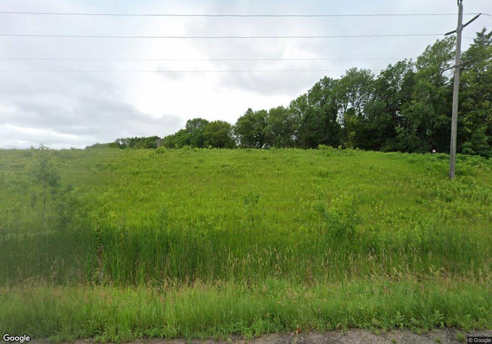
2481 State Highway 55 NW Buffalo, MN 55313
Estimated Value: $365,000 - $441,000
3
Beds
2
Baths
2,520
Sq Ft
$156/Sq Ft
Est. Value
About This Home
This home is located at 2481 State Highway 55 NW, Buffalo, MN 55313 and is currently estimated at $394,286, approximately $156 per square foot. 2481 State Highway 55 NW is a home located in Wright County with nearby schools including Maple Lake Elementary School, Maple Lake High School, and St. Timothy's Parish School.
Ownership History
Date
Name
Owned For
Owner Type
Purchase Details
Closed on
Feb 3, 2021
Sold by
Fuller Kathleen Marie
Bought by
Scheidnes Anne
Current Estimated Value
Home Financials for this Owner
Home Financials are based on the most recent Mortgage that was taken out on this home.
Original Mortgage
$247,461
Outstanding Balance
$221,327
Interest Rate
2.7%
Mortgage Type
New Conventional
Estimated Equity
$172,959
Create a Home Valuation Report for This Property
The Home Valuation Report is an in-depth analysis detailing your home's value as well as a comparison with similar homes in the area
Home Values in the Area
Average Home Value in this Area
Purchase History
| Date | Buyer | Sale Price | Title Company |
|---|---|---|---|
| Scheidnes Anne | $290,000 | Land Title |
Source: Public Records
Mortgage History
| Date | Status | Borrower | Loan Amount |
|---|---|---|---|
| Open | Scheidnes Anne | $247,461 |
Source: Public Records
Tax History Compared to Growth
Tax History
| Year | Tax Paid | Tax Assessment Tax Assessment Total Assessment is a certain percentage of the fair market value that is determined by local assessors to be the total taxable value of land and additions on the property. | Land | Improvement |
|---|---|---|---|---|
| 2025 | $3,132 | $341,900 | $116,600 | $225,300 |
| 2024 | $3,152 | $355,800 | $137,100 | $218,700 |
| 2023 | $2,870 | $356,900 | $136,600 | $220,300 |
| 2022 | $2,410 | $310,700 | $105,200 | $205,500 |
| 2021 | $2,452 | $239,000 | $64,800 | $174,200 |
| 2020 | $2,446 | $234,400 | $64,800 | $169,600 |
| 2019 | $2,306 | $225,700 | $0 | $0 |
| 2018 | $2,230 | $193,500 | $0 | $0 |
| 2017 | $1,912 | $184,900 | $0 | $0 |
| 2016 | $1,868 | $0 | $0 | $0 |
| 2015 | $1,624 | $0 | $0 | $0 |
| 2014 | -- | $0 | $0 | $0 |
Source: Public Records
Map
Nearby Homes
- 4963 Crofoot Ave NW
- 2557 Clementa Ave NW
- 2532 62nd St NW
- 1978 Donnelly Dr NW
- 198 35th St NE
- 1867 County Road 35 W
- 1309 Timber Ln
- 1309 Grandview Cir
- TBD 5th St S
- 1201 Hemlock Cir
- 112 Sundance Ridge
- 1206 Kensington Way
- 2770 11th St NW
- 655 55th St NE
- 911 Hazelwood Ct
- 520 Ramey Rd
- 406 12th St NW
- TBD 72nd St NW
- 446 72nd St NW
- XXX 72nd St NW
- 4440 Crofoot Ave NW
- 4507 Crofoot Ave NW
- 2462 45th St NW
- XXX Highway 55
- 4566 Crofoot Ave NW
- 4532 Cushing Ave NW
- 4541 Crofoot Ave NW
- 2219 State Highway 55 NW
- XXX Crofoot Ave NW
- 4528 Cushing Ave NW
- 4571 Crofoot Ave NW
- XXX Hwy 55
- 4560 Curtis Ave NW
- 4638 Crofoot Ave NW
- 4523 Cushing Ave NW
- 2129 State Highway 55 NW
- 4657 Crofoot Ave NW
- 4658 Curtis Ave NW
- 4667 Crofoot Ave NW
- 4688 Crofoot Ave NW
