24828 Us Highway 93 Rollins, MT 59931
Estimated Value: $1,377,755 - $1,774,000
3
Beds
2
Baths
1,956
Sq Ft
$777/Sq Ft
Est. Value
About This Home
This home is located at 24828 Us Highway 93, Rollins, MT 59931 and is currently estimated at $1,519,585, approximately $776 per square foot. 24828 Us Highway 93 is a home located in Lake County with nearby schools including Dayton School and Polson High School.
Ownership History
Date
Name
Owned For
Owner Type
Purchase Details
Closed on
Jun 9, 2025
Sold by
Ward Daniel C and Klucewich Yvette F
Bought by
Herrmann Adam and Herrmann Sydney
Current Estimated Value
Purchase Details
Closed on
Mar 12, 2021
Sold by
Mcdowell Ronald Lynn and Mcdowell Nancy Eileen
Bought by
Ward Daniel C and Klucewich Yvette F
Home Financials for this Owner
Home Financials are based on the most recent Mortgage that was taken out on this home.
Original Mortgage
$450,000
Interest Rate
2.7%
Mortgage Type
Future Advance Clause Open End Mortgage
Purchase Details
Closed on
May 20, 2013
Sold by
Mcdowell Family Trust and Mcdowell Ronald Lynn
Bought by
Ward Daniel C and Klucewich Yvette F
Create a Home Valuation Report for This Property
The Home Valuation Report is an in-depth analysis detailing your home's value as well as a comparison with similar homes in the area
Home Values in the Area
Average Home Value in this Area
Purchase History
| Date | Buyer | Sale Price | Title Company |
|---|---|---|---|
| Herrmann Adam | -- | Flying S Title And Escrow Of M | |
| Ward Daniel C | -- | None Available | |
| Ward Daniel C | -- | None Listed On Document |
Source: Public Records
Mortgage History
| Date | Status | Borrower | Loan Amount |
|---|---|---|---|
| Previous Owner | Ward Daniel C | $450,000 |
Source: Public Records
Tax History Compared to Growth
Tax History
| Year | Tax Paid | Tax Assessment Tax Assessment Total Assessment is a certain percentage of the fair market value that is determined by local assessors to be the total taxable value of land and additions on the property. | Land | Improvement |
|---|---|---|---|---|
| 2025 | $4,764 | $1,237,400 | $0 | $0 |
| 2024 | $5,081 | $950,500 | $0 | $0 |
| 2023 | $4,757 | $950,500 | $0 | $0 |
| 2022 | $4,897 | $793,200 | $0 | $0 |
| 2021 | $5,182 | $793,200 | $0 | $0 |
| 2020 | $4,861 | $709,900 | $0 | $0 |
| 2019 | $4,962 | $709,900 | $0 | $0 |
| 2018 | $5,210 | $766,700 | $0 | $0 |
| 2017 | $4,873 | $766,700 | $0 | $0 |
| 2016 | $5,198 | $787,300 | $0 | $0 |
| 2015 | $5,123 | $787,300 | $0 | $0 |
| 2014 | $4,134 | $438,146 | $0 | $0 |
Source: Public Records
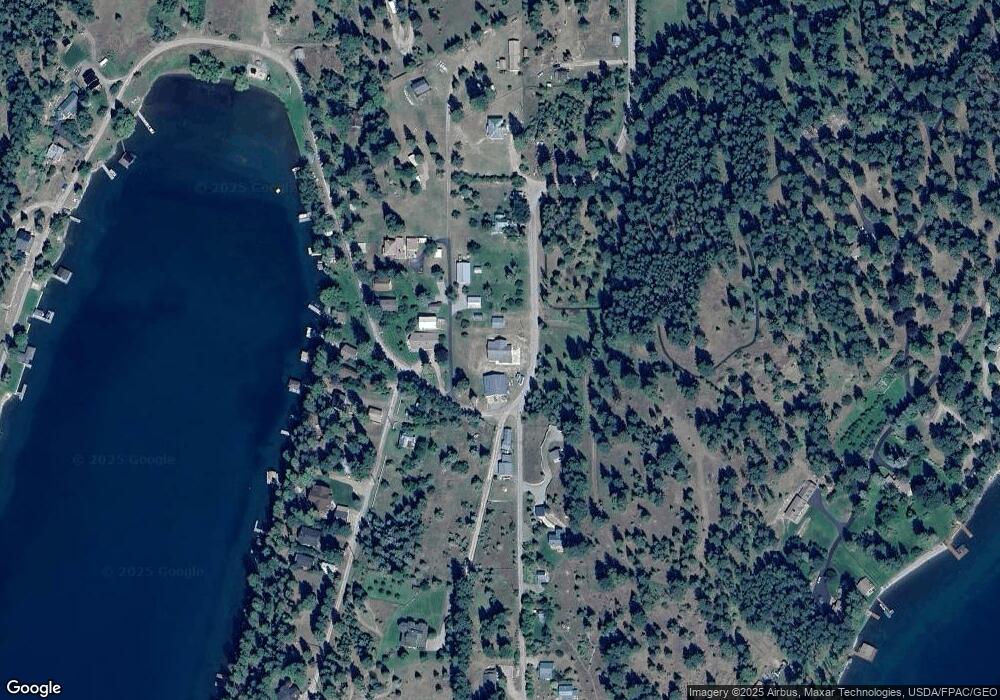
Map
Nearby Homes
- 41322 Mello Cove Ln
- NHN U S 93
- 21923 Rollins Lakeshore Dr
- NHN Liddell Ln
- 21439 Rollins Lakeshore Dr
- 25802 Old Highway 93
- 43401 D St
- 21208 Osprey Loop
- 20245 Swan View Rd
- 23747 7th St
- 24826 Black Lake Rd
- 43821 A St
- 20805 Osprey Loop
- 41957 Big Lodge Ln
- 20491 Wild Horse Ranch Rd
- 23xxx Yellowbell Ln
- Old US Hwy 93 Lot 1b
- 23201 Yellowbell Ln
- 44625 Wild Horse Island Ln
- NHN Lake Mary Rd
- 24828 Us Highway 93
- 85720 Us Highway 93
- Nhn Damaskes Way
- 40918 Mello Cove Spur
- 23108 Damaskes Way
- 73 Mello Cove Ln
- 23074 Damaskes Way
- 73 Mellow Cove Ln
- 40967 Mello Cove Spur
- 40967 Mello Cove Spur
- 23054 Damaskes Way
- 23032 Damaskes Way
- 41015 Mello Cove Spur
- 23010 Damaskes Way
- 22970 Damaskes Way
- 41061 Mello Cove Spur
- 22946 Damaskes Way
- 41123 Mello Cove Ln
- 41123 Mello Cove Ln
- 22934 Damaskes Way