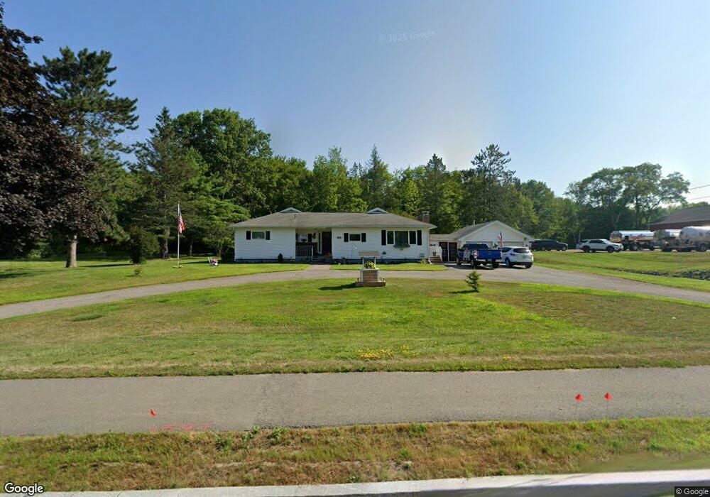
2483 Route 2 Hermon, ME 04401
Estimated Value: $325,000 - $373,000
3
Beds
2
Baths
1,406
Sq Ft
$243/Sq Ft
Est. Value
About This Home
This home is located at 2483 Route 2, Hermon, ME 04401 and is currently estimated at $341,706, approximately $243 per square foot. 2483 Route 2 is a home with nearby schools including Patricia A Duran School, Hermon Middle School, and Hermon High School.
Ownership History
Date
Name
Owned For
Owner Type
Purchase Details
Closed on
Jan 3, 2025
Sold by
Byers Glorilea Est and Byers
Bought by
Levenseller Leroy R and Levenseller Elaine M
Current Estimated Value
Home Financials for this Owner
Home Financials are based on the most recent Mortgage that was taken out on this home.
Original Mortgage
$250,000
Outstanding Balance
$247,830
Interest Rate
6.84%
Mortgage Type
Purchase Money Mortgage
Estimated Equity
$93,876
Create a Home Valuation Report for This Property
The Home Valuation Report is an in-depth analysis detailing your home's value as well as a comparison with similar homes in the area
Home Values in the Area
Average Home Value in this Area
Purchase History
| Date | Buyer | Sale Price | Title Company |
|---|---|---|---|
| Levenseller Leroy R | $318,000 | None Available | |
| Levenseller Leroy R | $318,000 | None Available |
Source: Public Records
Mortgage History
| Date | Status | Borrower | Loan Amount |
|---|---|---|---|
| Open | Levenseller Leroy R | $250,000 | |
| Closed | Levenseller Leroy R | $250,000 |
Source: Public Records
Tax History
| Year | Tax Paid | Tax Assessment Tax Assessment Total Assessment is a certain percentage of the fair market value that is determined by local assessors to be the total taxable value of land and additions on the property. | Land | Improvement |
|---|---|---|---|---|
| 2024 | $2,126 | $195,000 | $38,400 | $156,600 |
| 2023 | $2,095 | $178,300 | $35,700 | $142,600 |
| 2022 | $1,866 | $156,800 | $31,800 | $125,000 |
| 2021 | $1,827 | $152,400 | $30,700 | $121,700 |
| 2020 | $1,790 | $149,300 | $30,000 | $119,300 |
| 2019 | $1,731 | $144,400 | $29,300 | $115,100 |
| 2018 | $1,675 | $144,400 | $29,300 | $115,100 |
| 2017 | $1,630 | $133,600 | $33,800 | $99,800 |
| 2016 | $1,543 | $128,600 | $32,500 | $96,100 |
| 2015 | $1,507 | $125,600 | $31,300 | $94,300 |
| 2014 | $1,475 | $122,936 | $31,291 | $91,645 |
Source: Public Records
Map
Nearby Homes
- 77 Billings Rd
- 204 Edenfield Dr
- 18 Hunter Dr
- 37 Hunter Dr
- 139 Billings Rd
- 186 Klatte Rd
- 202 Orchard Dr
- 31 Hillcrest Dr
- 225 Annis Rd
- Lot 81 Fuller Rd
- 310 Harvest Ln
- 00 Confidential Route 2
- 566 Deerfield Dr
- 3 Cole Cir
- Lot 15 Hemlock Ridge Dr
- 20 Conners Ave
- 2914 Route 2
- 455 Billings Rd
- 308 Clark Rd
- 12 Beech Ridge Dr
Your Personal Tour Guide
Ask me questions while you tour the home.