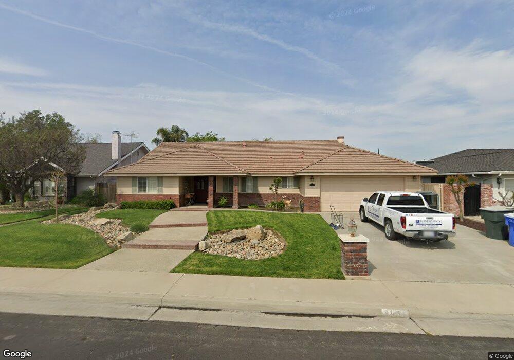
2484 Michael Way Hanford, CA 93230
Estimated Value: $378,953 - $419,000
3
Beds
2
Baths
1,869
Sq Ft
$212/Sq Ft
Est. Value
About This Home
This home is located at 2484 Michael Way, Hanford, CA 93230 and is currently estimated at $396,738, approximately $212 per square foot. 2484 Michael Way is a home located in Kings County with nearby schools including Monroe Elementary School, Woodrow Wilson Junior High School, and Hanford High School.
Ownership History
Date
Name
Owned For
Owner Type
Purchase Details
Closed on
Aug 4, 2021
Sold by
Husak Maria A
Bought by
Giovannetti John
Current Estimated Value
Purchase Details
Closed on
Oct 27, 2001
Sold by
Husak John M and Husak Maria A
Bought by
Husak Maria A
Purchase Details
Closed on
Jan 15, 1999
Sold by
Husak John M and Husak Maria A
Bought by
Husak John M and Husak Maria A
Purchase Details
Closed on
Apr 5, 1997
Sold by
Morgan Maria A
Bought by
Husak John M and Husak Maria A
Home Financials for this Owner
Home Financials are based on the most recent Mortgage that was taken out on this home.
Original Mortgage
$63,000
Interest Rate
7.86%
Create a Home Valuation Report for This Property
The Home Valuation Report is an in-depth analysis detailing your home's value as well as a comparison with similar homes in the area
Home Values in the Area
Average Home Value in this Area
Purchase History
| Date | Buyer | Sale Price | Title Company |
|---|---|---|---|
| Giovannetti John | $300,000 | Stewart Title Of Ca Inc | |
| Husak Maria A | -- | -- | |
| Husak John M | -- | -- | |
| Husak John M | -- | First American Title Ins Co |
Source: Public Records
Mortgage History
| Date | Status | Borrower | Loan Amount |
|---|---|---|---|
| Previous Owner | Husak John M | $63,000 |
Source: Public Records
Tax History
| Year | Tax Paid | Tax Assessment Tax Assessment Total Assessment is a certain percentage of the fair market value that is determined by local assessors to be the total taxable value of land and additions on the property. | Land | Improvement |
|---|---|---|---|---|
| 2025 | $3,379 | $318,361 | $84,896 | $233,465 |
| 2023 | $3,379 | $306,000 | $81,600 | $224,400 |
| 2022 | $3,308 | $300,000 | $80,000 | $220,000 |
| 2021 | $2,348 | $213,294 | $44,208 | $169,086 |
| 2020 | $2,373 | $211,107 | $43,755 | $167,352 |
| 2019 | $2,333 | $206,968 | $42,897 | $164,071 |
| 2018 | $2,266 | $202,910 | $42,056 | $160,854 |
| 2017 | $2,232 | $198,931 | $41,231 | $157,700 |
| 2016 | $2,202 | $195,031 | $40,423 | $154,608 |
| 2015 | $2,188 | $192,102 | $39,816 | $152,286 |
| 2014 | $2,146 | $188,339 | $39,036 | $149,303 |
Source: Public Records
Map
Nearby Homes
- 230 W Ash Ave
- 180 W Magnolia Ave
- 165 W Magnolia Ave
- 388 Timberline Ct
- 120 W Magnolia Ave
- 2335 N Douty St
- 2234 Carter Way
- 496 W Earl Way
- 2710 Aspen St
- 2210 N Douty St
- 2215 N Mayfair Dr
- 903 W Redwood St
- 906 Don Medico Dr
- 921 Don Medico Dr
- 2465 Ash Ct
- 903 W Sandstone Ct Unit 1
- 952 Upp Ct
- 2204 Fairmont Dr
- 259 E Sherwood Dr
- 2080 Mckinley Ave
- 2466 Michael Way
- 2490 Michael Way
- 2479 Cabrillo Ct
- 2461 Cabrillo Ct
- 2450 Michael Way
- 2485 Michael Way
- 288 W Ash Ave Unit 2
- 2489 Michael Way
- 2443 Cabrillo Ct
- 2497 Cabrillo Ct
- 2506 Michael Way
- 293 W Ash Ave
- 304 W Fargo Ave
- 283 W Fargo Ave
- 274 W Ash Ave
- 285 W Ash Ave
- 2505 Michael Way
- 322 W Fargo Ave
- 273 W Ash Ave
- 2498 Cabrillo Ct
Your Personal Tour Guide
Ask me questions while you tour the home.