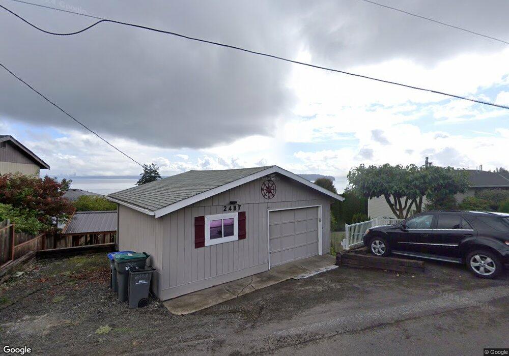
2487 3rd Ave E Port Orchard, WA 98366
Manchester NeighborhoodEstimated Value: $519,000 - $697,000
4
Beds
2
Baths
1,221
Sq Ft
$519/Sq Ft
Est. Value
About This Home
This home is located at 2487 3rd Ave E, Port Orchard, WA 98366 and is currently estimated at $634,075, approximately $519 per square foot. 2487 3rd Ave E is a home located in Kitsap County with nearby schools including Manchester Elementary School, John Sedgwick Middle School, and South Kitsap High School.
Ownership History
Date
Name
Owned For
Owner Type
Purchase Details
Closed on
Dec 18, 2025
Sold by
Rowe Martin C and Rowe Linda C
Bought by
Rowe Family Living Trust and Rowe
Current Estimated Value
Purchase Details
Closed on
Dec 16, 2005
Sold by
Carison Retha
Bought by
Rowe Martin C and Rowe Linda C
Home Financials for this Owner
Home Financials are based on the most recent Mortgage that was taken out on this home.
Original Mortgage
$226,000
Interest Rate
6.35%
Mortgage Type
Purchase Money Mortgage
Create a Home Valuation Report for This Property
The Home Valuation Report is an in-depth analysis detailing your home's value as well as a comparison with similar homes in the area
Home Values in the Area
Average Home Value in this Area
Purchase History
| Date | Buyer | Sale Price | Title Company |
|---|---|---|---|
| Rowe Family Living Trust | $313 | None Listed On Document | |
| Rowe Martin C | $399,280 | Stewart Title Of Kitsap |
Source: Public Records
Mortgage History
| Date | Status | Borrower | Loan Amount |
|---|---|---|---|
| Previous Owner | Rowe Martin C | $226,000 |
Source: Public Records
Tax History
| Year | Tax Paid | Tax Assessment Tax Assessment Total Assessment is a certain percentage of the fair market value that is determined by local assessors to be the total taxable value of land and additions on the property. | Land | Improvement |
|---|---|---|---|---|
| 2026 | $5,132 | $595,080 | $195,290 | $399,790 |
| 2025 | $5,132 | $595,080 | $195,290 | $399,790 |
| 2024 | $4,975 | $595,080 | $195,290 | $399,790 |
| 2023 | $4,940 | $595,080 | $195,290 | $399,790 |
| 2022 | $4,736 | $477,400 | $155,960 | $321,440 |
| 2021 | $4,376 | $417,020 | $135,620 | $281,400 |
| 2020 | $3,587 | $330,460 | $96,940 | $233,520 |
| 2019 | $3,086 | $312,560 | $91,640 | $220,920 |
| 2018 | $3,249 | $248,860 | $79,520 | $169,340 |
| 2017 | $2,708 | $248,860 | $79,520 | $169,340 |
| 2016 | $2,669 | $224,450 | $75,740 | $148,710 |
| 2015 | $2,592 | $221,010 | $75,740 | $145,270 |
| 2014 | -- | $219,570 | $83,690 | $135,880 |
| 2013 | -- | $219,570 | $83,690 | $135,880 |
Source: Public Records
Map
Nearby Homes
- 7940 Beach Dr E
- 2440 Alaska Ave E
- 7864 Beach Dr E
- 7368 E Wyoming St
- 7590 E Idaho St
- 2750 California Ave E
- 7063 E Dakota St
- 7331 E Center St
- 8609 E Caraway Rd
- 7103 E Chester Rd
- 1568 Puget Dr E
- 7041 E Washington St
- 1540 Puget Dr E
- 0 Martin Ave E
- 4 Lots Lilypad Place E
- 7350 E Raintree Ln
- 7058 E Nightingale St
- 7020 E Nightingale St
- 6997 E Bullseye St
- 7016 E Nightingale St
Your Personal Tour Guide
Ask me questions while you tour the home.