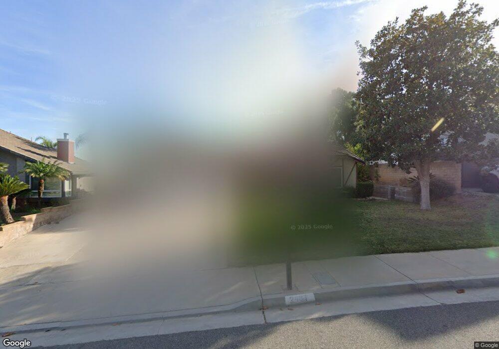
2487 Emerson Dr Corona, CA 92882
South Corona NeighborhoodEstimated Value: $725,000 - $810,000
About This Home
This home is located at 2487 Emerson Dr, Corona, CA 92882 and is currently estimated at $757,332, approximately $484 per square foot. 2487 Emerson Dr is a home located in Riverside County with nearby schools including John Adams Elementary School, Letha Raney Intermediate School, and Corona High School.
Ownership History
We collect this data history from publicly available records. To have your information removed, we recommend requesting removal directly through your county’s website.
Purchase Details
Home Financials for this Owner
Home Financials are based on the most recent Mortgage that was taken out on this home.Purchase Details
Purchase Details
Home Financials for this Owner
Home Financials are based on the most recent Mortgage that was taken out on this home.Purchase Details
Home Financials for this Owner
Home Financials are based on the most recent Mortgage that was taken out on this home.Purchase Details
Home Values in the Area
Average Home Value in this Area
Purchase History
We collect this data history from publicly available records. To have your information removed, we recommend requesting removal directly through your county’s website.
| Date | Buyer | Sale Price | Title Company |
|---|---|---|---|
| $280,000 | Ctc | ||
| $321,718 | Fntu | ||
| $465,000 | Republic Title Company | ||
| -- | -- | ||
| $373,000 | Chicago Title | ||
| -- | -- |
Mortgage History
We collect this data history from publicly available records. To have your information removed, we recommend requesting removal directly through your county’s website.
| Date | Status | Borrower | Loan Amount |
|---|---|---|---|
| Open | $214,600 | ||
| Closed | $267,806 | ||
| Closed | $278,313 | ||
| Closed | $276,353 | ||
| Previous Owner | $50,000 | ||
| Previous Owner | $460,000 | ||
| Previous Owner | $372,000 | ||
| Previous Owner | $35,000 | ||
| Previous Owner | $298,400 |
Tax History
We collect this data history from publicly available records. To have your information removed, we recommend requesting removal directly through your county’s website.
| Year | Tax Paid | Tax Assessment Tax Assessment Total Assessment is a certain percentage of the fair market value that is determined by local assessors to be the total taxable value of land and additions on the property. | Land | Improvement |
|---|---|---|---|---|
| 2025 | $3,996 | $360,550 | $115,885 | $244,665 |
| 2023 | $3,996 | $346,551 | $111,386 | $235,165 |
| 2022 | $3,871 | $339,756 | $109,202 | $230,554 |
| 2021 | $3,794 | $333,095 | $107,061 | $226,034 |
| 2020 | $3,753 | $329,681 | $105,964 | $223,717 |
| 2019 | $3,667 | $323,218 | $103,887 | $219,331 |
| 2018 | $3,585 | $316,881 | $101,851 | $215,030 |
| 2017 | $3,498 | $310,668 | $99,854 | $210,814 |
| 2016 | $3,465 | $304,578 | $97,897 | $206,681 |
| 2015 | $3,390 | $300,005 | $96,428 | $203,577 |
| 2014 | $3,268 | $294,130 | $94,540 | $199,590 |
Map
- 1700 Mojave View Cir
- 1720 Sugar Pine Dr
- 1791 Moccasin Trail Cir
- 2654 Independence Cir
- 2596 Avenida Del Vista Unit G104
- 2588 Avenida Del Vista Unit 204
- 2608 Avenida Del Vista Unit E104
- 2612 Avenida Del Vista Unit C102
- 2612 Avenida Del Vista Unit 203
- 2548 Avenida Del Vista Unit 202
- 1752 Fraser Cir
- 2576 Avenida Del Vista Unit L204
- 2421 Mangular Ave
- 2391 Mangular Ave
- 2967 Mangular Ave
- 1487 Meadowcrest Cir
- 3165 Forest View Dr
- 2815 Douglas Way
- 1359 Williamsburg Ln
- 1336 Brentwood Cir
- 2489 Emerson Dr
- 2485 Emerson Dr
- 2491 Emerson Dr
- 2483 Emerson Dr
- 2488 Emerson Dr
- 2493 Emerson Dr
- 2481 Emerson Dr
- 2486 Emerson Dr
- 2587 Border Ave
- 2484 Emerson Dr
- 2454 Antelope Dr
- 2450 Antelope Dr
- 2479 Emerson Dr
- 2575 Border Ave
- 2458 Antelope Dr
- 2446 Antelope Dr
- 2482 Emerson Dr
- 2462 Antelope Dr
- 2563 Border Ave
- 2477 Emerson Dr
Ask me questions while you tour the home.