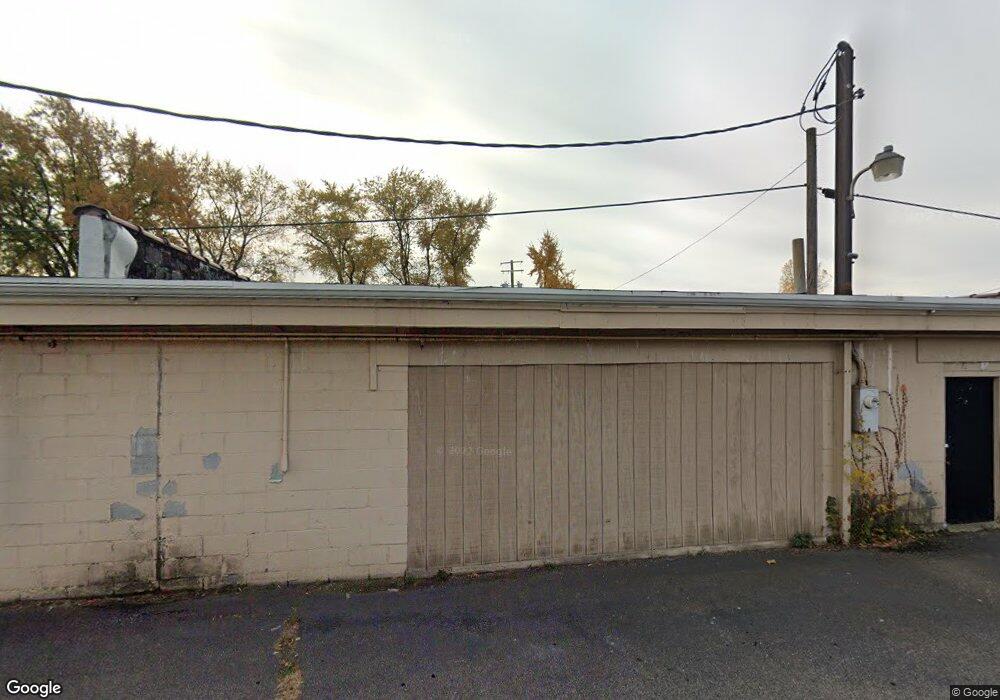
24895 Mound Rd Warren, MI 48091
Southwest Warren NeighborhoodEstimated Value: $1,006,595
--
Bed
--
Bath
11,000
Sq Ft
$92/Sq Ft
Est. Value
About This Home
This home is located at 24895 Mound Rd, Warren, MI 48091 and is currently estimated at $1,006,595, approximately $91 per square foot. 24895 Mound Rd is a home located in Macomb County with nearby schools including Mark C. Roose Elementary School, Center Line High School, and Wolfe Middle School.
Ownership History
Date
Name
Owned For
Owner Type
Purchase Details
Closed on
Feb 17, 2022
Sold by
24895 Mound Llc
Bought by
Hammer Logistics Unlimited Llc
Current Estimated Value
Purchase Details
Closed on
Jul 16, 2020
Sold by
Lomasney Ronald W
Bought by
24895 Mound Llc
Purchase Details
Closed on
Feb 1, 2008
Sold by
Lomasney David B
Bought by
Lomasney Ronald W and Lomasney Michael A
Purchase Details
Closed on
Jan 31, 2008
Sold by
Lomasney David B
Bought by
Lomasney Robert C and Robert C Lomasney Living Trust
Create a Home Valuation Report for This Property
The Home Valuation Report is an in-depth analysis detailing your home's value as well as a comparison with similar homes in the area
Home Values in the Area
Average Home Value in this Area
Purchase History
| Date | Buyer | Sale Price | Title Company |
|---|---|---|---|
| Hammer Logistics Unlimited Llc | -- | Chirco Title | |
| 24895 Mound Llc | $832,000 | Chirco Title | |
| Lomasney Ronald W | -- | None Available | |
| Lomasney Robert C | -- | None Available |
Source: Public Records
Tax History Compared to Growth
Tax History
| Year | Tax Paid | Tax Assessment Tax Assessment Total Assessment is a certain percentage of the fair market value that is determined by local assessors to be the total taxable value of land and additions on the property. | Land | Improvement |
|---|---|---|---|---|
| 2025 | $17,611 | $272,290 | $0 | $0 |
| 2024 | $17,233 | $251,610 | $0 | $0 |
| 2023 | $16,041 | $236,260 | $0 | $0 |
| 2022 | $15,744 | $243,770 | $0 | $0 |
| 2021 | $15,392 | $219,550 | $0 | $0 |
| 2020 | $9,636 | $205,840 | $0 | $0 |
| 2019 | $9,299 | $194,750 | $0 | $0 |
| 2018 | $9,327 | $182,650 | $0 | $0 |
| 2017 | $8,527 | $73,320 | $70,780 | $2,540 |
| 2016 | $8,484 | $174,200 | $0 | $0 |
| 2015 | -- | $166,610 | $0 | $0 |
| 2013 | $8,098 | $155,880 | $0 | $0 |
Source: Public Records
Map
Nearby Homes
- 25046 Joanne Smith Dr Unit 134, Bldg
- 24749 Panama Ave
- 24612 Panama Ave
- 6262 Garden Ct
- 24756 Hill Ave
- 24918 Patricia Ave
- 24755 Hill Ave
- 24733 Patricia Ave
- 25601 Peter Kaltz Rd
- 24544 Patricia Ave
- 5419 Duke Ct Unit 42
- 4925 E 10 Mile Rd Unit 4
- 4973 E 10 Mile Rd Unit 8
- 4949 E 10 Mile Rd
- 24245 Patricia Ave
- 5434 Bowden Ct
- 25755 Patricia Ave
- 6837 Braun
- 26122 Albert J Dr Unit 45
- 23808 Beierman Ave
- 24815 Mound Rd
- 24900 Mound Rd
- 24900 Mound Rd
- 25115 Mound Rd
- 25010 Mound Rd
- 24856 Blackmar Ave
- 24914 Blackmar Ave
- 24844 Blackmar Ave
- 24926 Blackmar Ave
- 5949 E 10 Mile Rd
- 24832 Blackmar Ave
- 24942 Blackmar Ave
- 25016 Joanne Smith Dr Unit 139
- 24820 Blackmar Ave
- 25010 Joanne Smith Dr
- 25022 Joanne Smith Dr
- 25028 Joanne Smith Dr
- 24808 Blackmar Ave
- 5550 E 10 Mile Rd
- 5562 E 10 Mile Rd