Estimated Value: $1,022,000 - $1,137,000
4
Beds
2
Baths
3,371
Sq Ft
$320/Sq Ft
Est. Value
About This Home
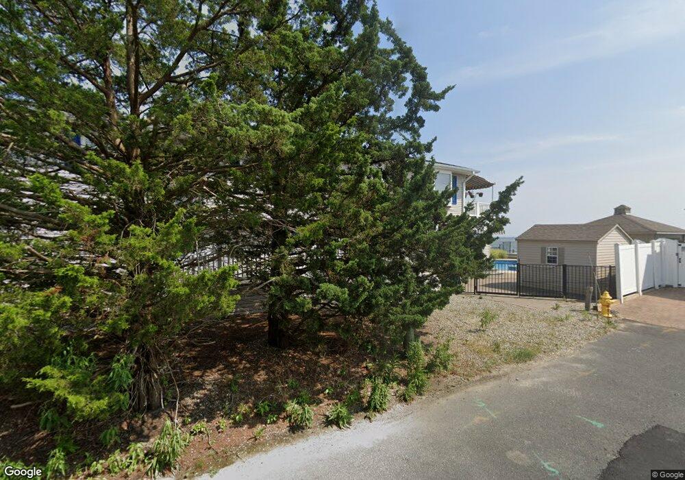
This home is located at 249 Cedar Island Dr, Brick, NJ 08723 and is currently estimated at $1,077,224, approximately $319 per square foot. 249 Cedar Island Dr is a home located in Ocean County with nearby schools including Osbornville Elementary School, Lake Riviera Middle School, and Brick Township High School.
Ownership History
Date
Name
Owned For
Owner Type
Purchase Details
Closed on
Aug 16, 1995
Sold by
Frank William
Bought by
Maiorine Thomas and Maiorine Connie
Current Estimated Value
Home Financials for this Owner
Home Financials are based on the most recent Mortgage that was taken out on this home.
Original Mortgage
$200,000
Interest Rate
7.48%
Purchase Details
Closed on
Jul 17, 1995
Sold by
Maiorine Thomas
Bought by
Colaco Barbara
Home Financials for this Owner
Home Financials are based on the most recent Mortgage that was taken out on this home.
Original Mortgage
$200,000
Interest Rate
7.48%
Create a Home Valuation Report for This Property
The Home Valuation Report is an in-depth analysis detailing your home's value as well as a comparison with similar homes in the area
Home Values in the Area
Average Home Value in this Area
Purchase History
| Date | Buyer | Sale Price | Title Company |
|---|---|---|---|
| Maiorine Thomas | $62,500 | -- | |
| Colaco Barbara | $300,000 | -- |
Source: Public Records
Mortgage History
| Date | Status | Borrower | Loan Amount |
|---|---|---|---|
| Closed | Colaco Barbara | $200,000 |
Source: Public Records
Tax History Compared to Growth
Tax History
| Year | Tax Paid | Tax Assessment Tax Assessment Total Assessment is a certain percentage of the fair market value that is determined by local assessors to be the total taxable value of land and additions on the property. | Land | Improvement |
|---|---|---|---|---|
| 2025 | $15,563 | $602,500 | $477,300 | $125,200 |
| 2024 | $14,791 | $602,500 | $477,300 | $125,200 |
| 2023 | $14,599 | $602,500 | $477,300 | $125,200 |
| 2022 | $14,599 | $602,500 | $477,300 | $125,200 |
| 2021 | $14,291 | $602,500 | $477,300 | $125,200 |
| 2020 | $14,111 | $602,500 | $477,300 | $125,200 |
| 2019 | $13,876 | $602,500 | $477,300 | $125,200 |
| 2018 | $13,556 | $602,500 | $477,300 | $125,200 |
| 2017 | $13,189 | $602,500 | $477,300 | $125,200 |
| 2016 | $13,122 | $602,500 | $477,300 | $125,200 |
| 2015 | $12,779 | $602,500 | $477,300 | $125,200 |
| 2014 | $12,677 | $602,500 | $477,300 | $125,200 |
Source: Public Records
Map
Nearby Homes
- 13 Paul Jones Dr
- 25 Halsey Dr
- 15 Halsey Dr
- 710 Drum Point Rd
- 1 Halsey Dr
- 49 Farragut Dr
- 54 Cedar Island Dr
- 58 Paul Jones Dr
- 40 Ward Dr
- 660 Drum Point Rd
- 120 Bayview Dr
- 5 Shore Pine Dr
- 151 Shore Dr
- 7 Cedar Island Dr
- 6 Holly Acres Dr
- 85 Channel Dr
- 673 Bayview Dr
- 7 Neptune Cir
- 37 Harbor View Ln
- 669 Bayview Dr
- 251 Cedar Island Dr
- 245 Cedar Island Dr
- 243 Cedar Island Dr
- 243 Cedar Island Dr
- 255 Cedar Island Dr
- 253 Cedar Island Dr
- 257 Cedar Island Dr
- 259 Cedar Island Dr
- 241 Cedar Island Dr
- 237 Cedar Island Dr
- 135 Southview Dr
- 139 Southview Dr
- 242 Cedar Island Dr
- 133 Southview Dr
- 235 Cedar Island Dr
- 235 Cedar Island Dr
- 141 Southview Dr
- 131 Southview Dr
- 129 Southview Dr
- 236 Cedar Island Dr