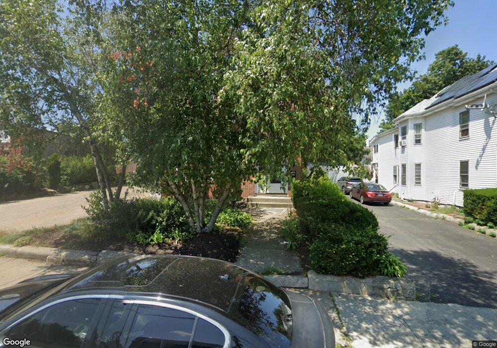
249 Newton St Waltham, MA 02453
South Side NeighborhoodEstimated Value: $857,000 - $1,024,038
4
Beds
3
Baths
2,110
Sq Ft
$454/Sq Ft
Est. Value
About This Home
This home is located at 249 Newton St, Waltham, MA 02453 and is currently estimated at $958,260, approximately $454 per square foot. 249 Newton St is a home located in Middlesex County with nearby schools including Henry Whittemore Elementary School, John W. Mcdevitt Middle School, and Waltham Sr High School.
Ownership History
Date
Name
Owned For
Owner Type
Purchase Details
Closed on
Feb 15, 1996
Sold by
Buckley Paul E and Buckley Glenn A
Bought by
Buckley Glenn A and Buckley Michele L
Current Estimated Value
Home Financials for this Owner
Home Financials are based on the most recent Mortgage that was taken out on this home.
Original Mortgage
$130,000
Outstanding Balance
$4,246
Interest Rate
6.99%
Mortgage Type
Purchase Money Mortgage
Estimated Equity
$954,014
Create a Home Valuation Report for This Property
The Home Valuation Report is an in-depth analysis detailing your home's value as well as a comparison with similar homes in the area
Home Values in the Area
Average Home Value in this Area
Purchase History
| Date | Buyer | Sale Price | Title Company |
|---|---|---|---|
| Buckley Glenn A | $162,500 | -- |
Source: Public Records
Mortgage History
| Date | Status | Borrower | Loan Amount |
|---|---|---|---|
| Open | Buckley Glenn A | $130,000 |
Source: Public Records
Tax History Compared to Growth
Tax History
| Year | Tax Paid | Tax Assessment Tax Assessment Total Assessment is a certain percentage of the fair market value that is determined by local assessors to be the total taxable value of land and additions on the property. | Land | Improvement |
|---|---|---|---|---|
| 2025 | $8,029 | $817,600 | $363,200 | $454,400 |
| 2024 | $7,448 | $772,600 | $363,200 | $409,400 |
| 2023 | $7,486 | $725,400 | $330,800 | $394,600 |
| 2022 | $7,577 | $680,200 | $302,000 | $378,200 |
| 2021 | $7,157 | $632,200 | $273,300 | $358,900 |
| 2020 | $7,107 | $594,700 | $258,900 | $335,800 |
| 2019 | $6,726 | $531,300 | $256,300 | $275,000 |
| 2018 | $6,088 | $482,800 | $237,300 | $245,500 |
| 2017 | $5,793 | $461,200 | $215,700 | $245,500 |
| 2016 | $5,338 | $436,100 | $190,600 | $245,500 |
| 2015 | $5,139 | $391,400 | $187,000 | $204,400 |
Source: Public Records
Map
Nearby Homes
- 308 Newton St Unit 1
- 39 Clinton St Unit 2
- 39 Clinton St Unit 1
- 312 Newton St Unit 1A
- 28-32 Calvary St
- 81 Alder St
- 138 Myrtle St Unit 2
- 162 Myrtle St Unit 1
- 61 Hall St Unit 9
- 61 Hall St Unit 7
- 42 Alder St
- 9 John St
- 47 Alder St Unit 6
- 40 Myrtle St Unit 9
- 266-274 River St
- 15 Alder St Unit 1
- 240 River St
- 301 River St
- 180 River St Unit 9
- 176 River St
- 249 Newton St
- 245 Newton St
- 241 Newton St
- 261 Newton St
- 250 Newton St
- 10 Stearns St Unit 1C
- 10 Stearns St Unit 1a
- 8-10 Stearns St
- 16 Stearns St
- 12 Stearns St Unit 2
- 12 Stearns St Unit 1
- 14 Stearns St Unit 1
- 14 Stearns St Unit 2
- 244 Newton St Unit 246
- 8 Stearns St Unit 10
- 8 Stearns St Unit 1
- 260 Newton St
- 260 Newton St Unit 3
- 260 Newton St Unit 1
- 260 Newton St Unit 2