Estimated Value: $1,053,000 - $1,171,000
5
Beds
3
Baths
3,478
Sq Ft
$317/Sq Ft
Est. Value
About This Home
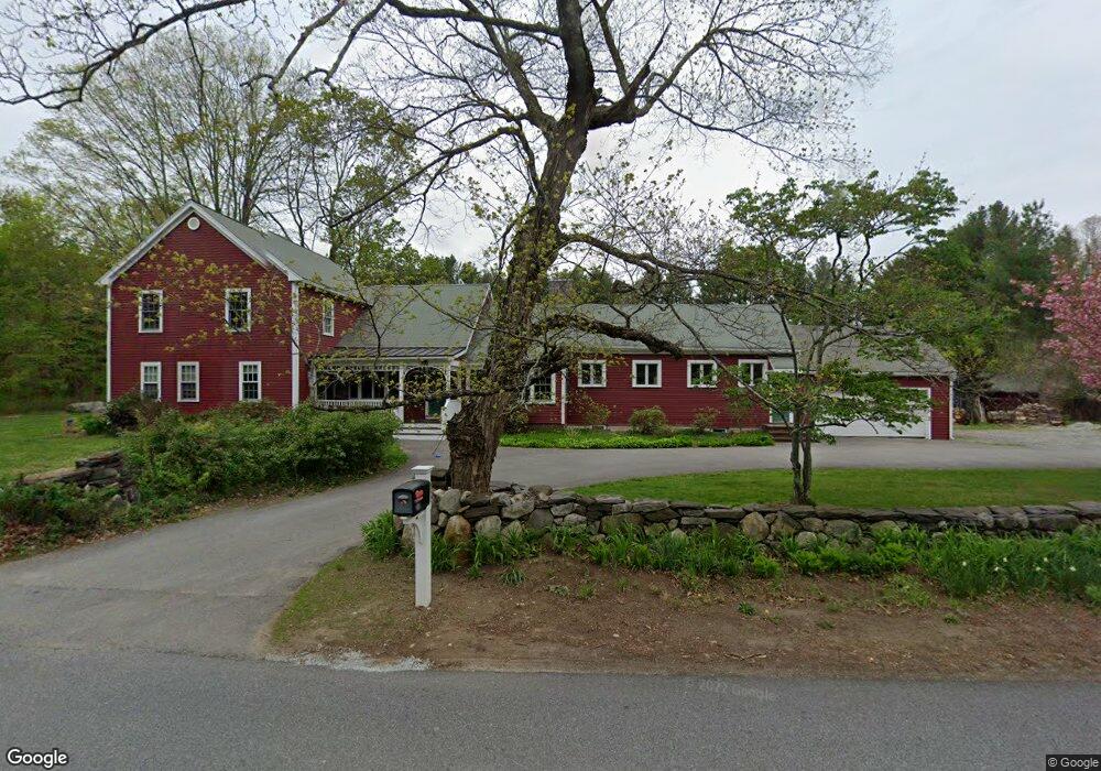
This home is located at 249 Parker St, Acton, MA 01720 and is currently estimated at $1,103,475, approximately $317 per square foot. 249 Parker St is a home located in Middlesex County with nearby schools including Acton-Boxborough Regional High School, Maynard Knowledge Beginnings, and The Imago School.
Ownership History
Date
Name
Owned For
Owner Type
Purchase Details
Closed on
May 5, 2000
Sold by
Grossman Randall R and Grossman Janet E
Bought by
Campbell Christopher J and Braate-Campbell Sytske
Current Estimated Value
Home Financials for this Owner
Home Financials are based on the most recent Mortgage that was taken out on this home.
Original Mortgage
$331,240
Interest Rate
8.21%
Mortgage Type
Purchase Money Mortgage
Purchase Details
Closed on
Jun 30, 1989
Sold by
Tew John B
Bought by
Grossman Randall B
Create a Home Valuation Report for This Property
The Home Valuation Report is an in-depth analysis detailing your home's value as well as a comparison with similar homes in the area
Home Values in the Area
Average Home Value in this Area
Purchase History
| Date | Buyer | Sale Price | Title Company |
|---|---|---|---|
| Campbell Christopher J | $414,500 | -- | |
| Grossman Randall B | $282,000 | -- |
Source: Public Records
Mortgage History
| Date | Status | Borrower | Loan Amount |
|---|---|---|---|
| Open | Grossman Randall B | $347,000 | |
| Closed | Grossman Randall B | $361,200 | |
| Closed | Grossman Randall B | $331,240 |
Source: Public Records
Tax History
| Year | Tax Paid | Tax Assessment Tax Assessment Total Assessment is a certain percentage of the fair market value that is determined by local assessors to be the total taxable value of land and additions on the property. | Land | Improvement |
|---|---|---|---|---|
| 2025 | $15,032 | $876,500 | $315,000 | $561,500 |
| 2024 | $14,016 | $840,800 | $315,000 | $525,800 |
| 2023 | $13,544 | $771,300 | $286,600 | $484,700 |
| 2022 | $12,814 | $658,800 | $249,800 | $409,000 |
| 2021 | $12,518 | $618,800 | $231,400 | $387,400 |
| 2020 | $11,802 | $613,400 | $231,400 | $382,000 |
| 2019 | $11,428 | $590,000 | $231,400 | $358,600 |
| 2018 | $11,217 | $578,800 | $231,400 | $347,400 |
| 2017 | $10,923 | $573,100 | $231,400 | $341,700 |
| 2016 | $10,696 | $556,200 | $231,400 | $324,800 |
| 2015 | $10,497 | $551,000 | $231,400 | $319,600 |
| 2014 | $10,112 | $519,900 | $231,400 | $288,500 |
Source: Public Records
Map
Nearby Homes
- 1 Carlton Dr
- 70 Powder Mill Rd
- 68 Powder Mill Rd
- 36 Brown St
- 63 Conant St
- 12 Brown St
- 23 Deer Path Unit 5
- 1 Drummer Rd Unit A5
- 2 Wall Ct
- 22 Douglas Ave Unit 2
- 22 Douglas Ave Unit 1
- 130 Parker St Unit J2
- 31 Drummer Rd Unit 31
- 96 Forest Ridge Rd Unit 96
- 5 Hayes St Unit 5
- 13 Arthur St Unit 15
- 30 Brewster Ln
- 31-33 Roosevelt St
- 40 High St
- 1 Vanderbelt Rd
Your Personal Tour Guide
Ask me questions while you tour the home.