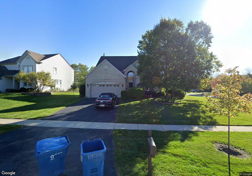
249 Remington Dr Bartlett, IL 60103
Estimated Value: $515,000 - $547,000
4
Beds
3
Baths
2,420
Sq Ft
$219/Sq Ft
Est. Value
About This Home
This home is located at 249 Remington Dr, Bartlett, IL 60103 and is currently estimated at $530,064, approximately $219 per square foot. 249 Remington Dr is a home located in Cook County with nearby schools including Nature Ridge Elementary School, Kenyon Woods Middle School, and South Elgin High School.
Ownership History
Date
Name
Owned For
Owner Type
Purchase Details
Closed on
May 1, 1995
Sold by
Centex Real Estate Corp
Bought by
Helle Kevin M and Helle Pamela J
Current Estimated Value
Home Financials for this Owner
Home Financials are based on the most recent Mortgage that was taken out on this home.
Original Mortgage
$172,250
Interest Rate
6.37%
Create a Home Valuation Report for This Property
The Home Valuation Report is an in-depth analysis detailing your home's value as well as a comparison with similar homes in the area
Home Values in the Area
Average Home Value in this Area
Purchase History
| Date | Buyer | Sale Price | Title Company |
|---|---|---|---|
| Helle Kevin M | $219,500 | -- |
Source: Public Records
Mortgage History
| Date | Status | Borrower | Loan Amount |
|---|---|---|---|
| Closed | Helle Kevin M | $172,250 |
Source: Public Records
Tax History
| Year | Tax Paid | Tax Assessment Tax Assessment Total Assessment is a certain percentage of the fair market value that is determined by local assessors to be the total taxable value of land and additions on the property. | Land | Improvement |
|---|---|---|---|---|
| 2025 | $11,502 | $48,000 | $14,985 | $33,015 |
| 2024 | $11,502 | $39,000 | $12,737 | $26,263 |
| 2023 | $11,091 | $39,000 | $12,737 | $26,263 |
| 2022 | $11,091 | $39,000 | $12,737 | $26,263 |
| 2021 | $9,878 | $29,326 | $11,238 | $18,088 |
| 2020 | $9,817 | $29,326 | $11,238 | $18,088 |
| 2019 | $9,733 | $32,585 | $11,238 | $21,347 |
| 2018 | $9,985 | $30,843 | $9,740 | $21,103 |
| 2017 | $9,833 | $30,843 | $9,740 | $21,103 |
| 2016 | $9,477 | $30,843 | $9,740 | $21,103 |
| 2015 | $9,395 | $28,561 | $8,616 | $19,945 |
| 2014 | $9,290 | $28,561 | $8,616 | $19,945 |
| 2013 | $8,903 | $28,561 | $8,616 | $19,945 |
Source: Public Records
Map
Nearby Homes
- 220 Carroll Way
- 2068 Norwich Dr
- 1969 Osprey Ct Unit 223
- 171 Silbury Dr
- 127 5th Ave
- 106 8th Ave
- 521 Ivory Ln
- 1627 Spaulding Rd Unit 524
- 1088 Center Dr
- 995 Bluff Quarry Dr
- 610 Golfers Ln
- 1499 Deer Pointe Dr
- 303 Ann St
- 720 Thornbury Rd Unit 1115
- 1316 Foxglove Dr
- 1314 Foxglove Dr
- 1390 Wild Tulip Cir
- 1310 Wake Robin Ln
- 1267 Tiger Lily Dr
- 1266 Tiger Lily Dr
- 245 Remington Dr
- 244 Edgewater Dr Unit 5
- 240 Edgewater Dr
- 241 Remington Dr
- 258 Remington Dr
- 1943 Butler Dr
- 254 Remington Dr
- 1947 Butler Dr
- 1939 Butler Dr
- 250 Remington Dr
- 1951 Butler Dr
- 236 Edgewater Dr
- 237 Remington Dr
- 1935 Butler Dr
- 246 Remington Dr
- 1955 Butler Dr
- 1930 Butler Dr
- 1960 Butler Dr
- 1931 Butler Dr
- 232 Edgewater Dr
Your Personal Tour Guide
Ask me questions while you tour the home.