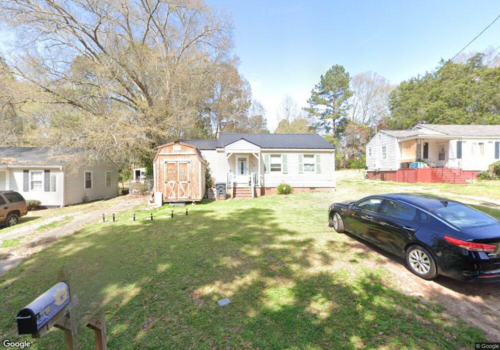
249 Rutland Cir Lagrange, GA 30241
Estimated Value: $97,000 - $128,184
3
Beds
1
Bath
1,025
Sq Ft
$108/Sq Ft
Est. Value
About This Home
This home is located at 249 Rutland Cir, Lagrange, GA 30241 and is currently estimated at $110,546, approximately $107 per square foot. 249 Rutland Cir is a home located in Troup County with nearby schools including Franklin Forest Elementary School, Hollis Hand Elementary School, and Ethel W. Kight Elementary School.
Ownership History
Date
Name
Owned For
Owner Type
Purchase Details
Closed on
Sep 13, 2006
Sold by
Haynes Barbara S
Bought by
Whitley Thomas
Current Estimated Value
Purchase Details
Closed on
Feb 11, 1999
Sold by
Matthews J R
Bought by
Barbara S Haynes
Purchase Details
Closed on
Feb 17, 1970
Sold by
Martin Bobby Gene
Bought by
Matthews J R
Purchase Details
Closed on
Mar 1, 1957
Sold by
Furgerson Joe Neal
Bought by
Martin Bobby Gene
Create a Home Valuation Report for This Property
The Home Valuation Report is an in-depth analysis detailing your home's value as well as a comparison with similar homes in the area
Purchase History
| Date | Buyer | Sale Price | Title Company |
|---|---|---|---|
| Whitley Thomas | $52,500 | -- | |
| Whitley Thomas | $52,500 | -- | |
| Barbara S Haynes | $35,000 | -- | |
| Matthews J R | $7,000 | -- | |
| Martin Bobby Gene | -- | -- |
Source: Public Records
Tax History
| Year | Tax Paid | Tax Assessment Tax Assessment Total Assessment is a certain percentage of the fair market value that is determined by local assessors to be the total taxable value of land and additions on the property. | Land | Improvement |
|---|---|---|---|---|
| 2025 | $901 | $39,960 | $8,000 | $31,960 |
| 2024 | $901 | $35,040 | $8,000 | $27,040 |
| 2023 | $853 | $33,280 | $6,280 | $27,000 |
| 2022 | $825 | $31,560 | $6,280 | $25,280 |
| 2021 | $628 | $22,800 | $6,280 | $16,520 |
| 2020 | $628 | $22,800 | $6,280 | $16,520 |
| 2019 | $480 | $17,912 | $5,672 | $12,240 |
| 2018 | $480 | $17,912 | $5,672 | $12,240 |
| 2017 | $480 | $17,912 | $5,672 | $12,240 |
| 2016 | $468 | $17,510 | $5,672 | $11,838 |
| 2015 | $453 | $16,972 | $5,672 | $11,300 |
| 2014 | $455 | $17,012 | $5,672 | $11,340 |
| 2013 | -- | $17,946 | $5,672 | $12,274 |
Source: Public Records
Map
Nearby Homes
- 224 Rutland Cir
- 203 Bonaventure Dr
- 87 Youngs Mill Rd
- 210 Hearthstone Dr
- 212 Cleveland Dr
- 204 Cleveland Dr
- 115 Clara Jean Ct
- 121 Ct
- 130 Clara Jean Ct
- 110 Lenox Cir
- 107 N Barnard Ave
- 0 N Barnard Ave
- 616 S Harlem Cir
- 5 Curran Ave
- 706 N Harlem Cir
- 608 S Harlem Cir
- 606 S Harlem Cir
- 600 S Harlem Cir
- 131 Foch St
- 102 Dogwood Dr
- 251 Rutland Cir
- 247 Rutland Cir
- 253 Rutland Cir
- 245 Rutland Cir
- 226 Rutland Cir
- 228 Rutland Cir
- 255 Rutland Cir
- 230 Rutland Cir Unit 6
- 230 Rutland Cir
- 243 Rutland Cir
- 117 Bonaventure Dr
- 119 Bonaventure Dr
- 115 Bonaventure Dr
- 232 Rutland Cir
- 257 Rutland Cir
- 121 Bonaventure Dr
- 220 Rutland Cir
- 113 Bonaventure Dr
- 241 Rutland Cir
- 123 Bonaventure Dr
Your Personal Tour Guide
Ask me questions while you tour the home.