249 S Roberson Rd Loving, NM 88256
Estimated Value: $332,000 - $532,000
4
Beds
3
Baths
2,880
Sq Ft
$153/Sq Ft
Est. Value
About This Home
This home is located at 249 S Roberson Rd, Loving, NM 88256 and is currently estimated at $440,136, approximately $152 per square foot. 249 S Roberson Rd is a home located in Eddy County with nearby schools including Loving Elementary School, Loving Middle School, and Loving High School.
Ownership History
Date
Name
Owned For
Owner Type
Purchase Details
Closed on
Apr 6, 2021
Sold by
Mcilwee Kevin W
Bought by
Mcilwee Ceailia A and Mcilwee Kevin
Current Estimated Value
Purchase Details
Closed on
Sep 23, 2005
Sold by
Allen Robert M and Allen Gayle A
Bought by
White Henry Wade and White Ana Mae
Home Financials for this Owner
Home Financials are based on the most recent Mortgage that was taken out on this home.
Original Mortgage
$43,800
Outstanding Balance
$23,399
Interest Rate
5.73%
Mortgage Type
Credit Line Revolving
Estimated Equity
$416,737
Create a Home Valuation Report for This Property
The Home Valuation Report is an in-depth analysis detailing your home's value as well as a comparison with similar homes in the area
Home Values in the Area
Average Home Value in this Area
Purchase History
| Date | Buyer | Sale Price | Title Company |
|---|---|---|---|
| Mcilwee Ceailia A | -- | Coffelt Land Title Inc | |
| White Henry Wade | -- | Guaranty Title Co |
Source: Public Records
Mortgage History
| Date | Status | Borrower | Loan Amount |
|---|---|---|---|
| Open | White Henry Wade | $43,800 | |
| Open | White Henry Wade | $175,200 |
Source: Public Records
Tax History Compared to Growth
Tax History
| Year | Tax Paid | Tax Assessment Tax Assessment Total Assessment is a certain percentage of the fair market value that is determined by local assessors to be the total taxable value of land and additions on the property. | Land | Improvement |
|---|---|---|---|---|
| 2025 | $1,950 | $150,791 | $7,019 | $143,772 |
| 2024 | $1,950 | $146,399 | $7,019 | $139,380 |
| 2023 | $1,950 | $142,135 | $7,019 | $135,116 |
| 2022 | $1,710 | $129,460 | $6,464 | $122,996 |
| 2021 | $1,763 | $125,689 | $6,293 | $119,396 |
| 2020 | $1,976 | $122,028 | $5,865 | $116,163 |
| 2019 | $1,723 | $118,475 | $5,363 | $113,112 |
| 2018 | $1,711 | $113,834 | $3,287 | $110,547 |
| 2017 | $2,565 | $115,832 | $3,386 | $112,446 |
| 2015 | $1,772 | $0 | $0 | $0 |
| 2014 | $1,530 | $0 | $0 | $0 |
Source: Public Records
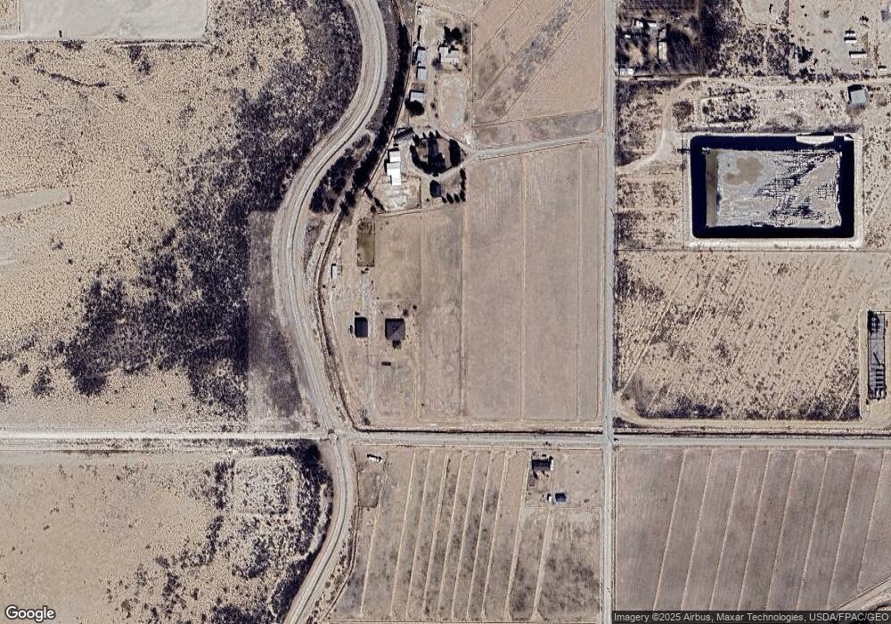
Map
Nearby Homes
- R233 - K Carrasco Rd
- 612 W Cedar St
- 309 S Sixth St
- 203 S 6th St
- 270 Onsurez Rd
- 4029 E Derrick Rd
- 6015 Grandi Rd
- 1000 E Derrick Rd
- S of 260 Black River Village Rd
- 1618 Skyline Dr
- 1610 Skyline Dr
- E of 5508 Avitia
- E E Harkness Rd
- 5504 S Thomason Rd
- 1510 Papershell Rd
- E and SE of Sunrise Rd
- 7000 Old Cavern Hwy
- 6306 Vest Rd
- 6324 Vest Rd
- 1327 Mcfarland Rd