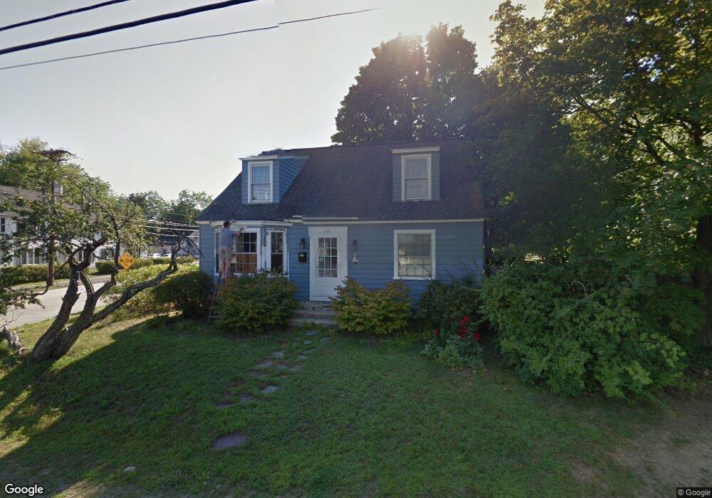
249 Taylor St Manchester, NH 03103
Somerville NeighborhoodEstimated Value: $417,000 - $452,000
3
Beds
2
Baths
1,456
Sq Ft
$298/Sq Ft
Est. Value
About This Home
This home is located at 249 Taylor St, Manchester, NH 03103 and is currently estimated at $434,004, approximately $298 per square foot. 249 Taylor St is a home located in Hillsborough County with nearby schools including Jewett Street Elementary School, Southside Middle School, and Manchester Memorial High School.
Ownership History
Date
Name
Owned For
Owner Type
Purchase Details
Closed on
Jan 7, 1998
Sold by
Lemay David P and Lemay Linda
Bought by
Poulin Jonathan M and Poulin Monica A
Current Estimated Value
Home Financials for this Owner
Home Financials are based on the most recent Mortgage that was taken out on this home.
Original Mortgage
$91,600
Outstanding Balance
$15,827
Interest Rate
7.09%
Estimated Equity
$418,177
Create a Home Valuation Report for This Property
The Home Valuation Report is an in-depth analysis detailing your home's value as well as a comparison with similar homes in the area
Home Values in the Area
Average Home Value in this Area
Purchase History
| Date | Buyer | Sale Price | Title Company |
|---|---|---|---|
| Poulin Jonathan M | $92,800 | -- |
Source: Public Records
Mortgage History
| Date | Status | Borrower | Loan Amount |
|---|---|---|---|
| Open | Poulin Jonathan M | $50,000 | |
| Closed | Poulin Jonathan M | $30,000 | |
| Open | Poulin Jonathan M | $91,600 |
Source: Public Records
Tax History Compared to Growth
Tax History
| Year | Tax Paid | Tax Assessment Tax Assessment Total Assessment is a certain percentage of the fair market value that is determined by local assessors to be the total taxable value of land and additions on the property. | Land | Improvement |
|---|---|---|---|---|
| 2024 | $5,496 | $280,700 | $91,200 | $189,500 |
| 2023 | $5,294 | $280,700 | $91,200 | $189,500 |
| 2022 | $5,120 | $280,700 | $91,200 | $189,500 |
| 2021 | $4,963 | $280,700 | $91,200 | $189,500 |
| 2020 | $4,754 | $192,800 | $62,900 | $129,900 |
| 2019 | $4,689 | $192,800 | $62,900 | $129,900 |
| 2018 | $0 | $192,800 | $62,900 | $129,900 |
| 2017 | $4,459 | $192,800 | $62,900 | $129,900 |
| 2016 | $4,461 | $192,800 | $62,900 | $129,900 |
| 2015 | $4,388 | $187,200 | $62,900 | $124,300 |
| 2014 | $4,399 | $187,200 | $62,900 | $124,300 |
| 2013 | $4,244 | $187,200 | $62,900 | $124,300 |
Source: Public Records
Map
Nearby Homes
- 165 Taylor St
- 335 Cypress St Unit 4A
- 335 Cypress St Unit 2P
- 201 Jewett St
- 635 Green St
- 625 Green St
- 651 Summer St
- 80 Jewett St
- 64 Belmont St
- 10 Hayes Ave
- 594 Dix St Unit 2
- 469 Cilley Rd
- 470 Silver St Unit 223
- 50 S Belmont St
- 173 Mammoth Rd
- 167 Mammoth Rd
- 45 Gray St
- 440 Laurel St
- 506 Vinton St
- 87 S Wilson St
- 823 Hayward St
- 245 Taylor St
- 831 Hayward St
- 250 Taylor St
- 258 Taylor St
- 233 Taylor St
- 246 Taylor St
- 246 Taylor St Unit 2b
- 839 Hayward St
- 260 Taylor St
- 230 Taylor St
- 844 Hayward St
- 885 Hayward St
- 781 Hayward St Unit B
- 781 Hayward St Unit A
- 781 Hayward St
- 172 Young St
- 776 Hayward St
- 128 Young St
- 128 Young St Unit 2