249 Trask Side Rd Alton Bay, NH 03810
Estimated Value: $849,000 - $1,892,000
3
Beds
3
Baths
1,692
Sq Ft
$877/Sq Ft
Est. Value
About This Home
This home is located at 249 Trask Side Rd, Alton Bay, NH 03810 and is currently estimated at $1,483,752, approximately $876 per square foot. 249 Trask Side Rd is a home located in Belknap County with nearby schools including Alton Central School (Elem) and Prospect Mountain High School.
Ownership History
Date
Name
Owned For
Owner Type
Purchase Details
Closed on
Feb 27, 2014
Sold by
Peabody Margaret R and Peabody Willaim S
Bought by
Peabody Ft
Current Estimated Value
Purchase Details
Closed on
Mar 8, 2012
Sold by
James P Markham Ret
Bought by
Peabody Margaret R and Peabody William S
Create a Home Valuation Report for This Property
The Home Valuation Report is an in-depth analysis detailing your home's value as well as a comparison with similar homes in the area
Home Values in the Area
Average Home Value in this Area
Purchase History
| Date | Buyer | Sale Price | Title Company |
|---|---|---|---|
| Peabody Ft | -- | -- | |
| Peabody Margaret R | $775,000 | -- |
Source: Public Records
Mortgage History
| Date | Status | Borrower | Loan Amount |
|---|---|---|---|
| Previous Owner | Peabody Margaret R | $330,000 |
Source: Public Records
Tax History Compared to Growth
Tax History
| Year | Tax Paid | Tax Assessment Tax Assessment Total Assessment is a certain percentage of the fair market value that is determined by local assessors to be the total taxable value of land and additions on the property. | Land | Improvement |
|---|---|---|---|---|
| 2024 | $14,579 | $1,123,200 | $800,800 | $322,400 |
| 2022 | $12,776 | $1,123,700 | $800,800 | $322,900 |
| 2021 | $12,788 | $1,123,700 | $800,800 | $322,900 |
| 2020 | $12,756 | $914,400 | $645,300 | $269,100 |
| 2019 | $11,439 | $914,400 | $645,300 | $269,100 |
| 2018 | $11,707 | $894,900 | $645,300 | $249,600 |
| 2017 | $11,295 | $878,300 | $645,300 | $233,000 |
| 2016 | $11,975 | $846,300 | $636,200 | $210,100 |
| 2015 | $12,020 | $842,300 | $632,200 | $210,100 |
| 2014 | $11,318 | $817,200 | $609,200 | $208,000 |
| 2013 | $10,869 | $808,700 | $624,700 | $184,000 |
Source: Public Records
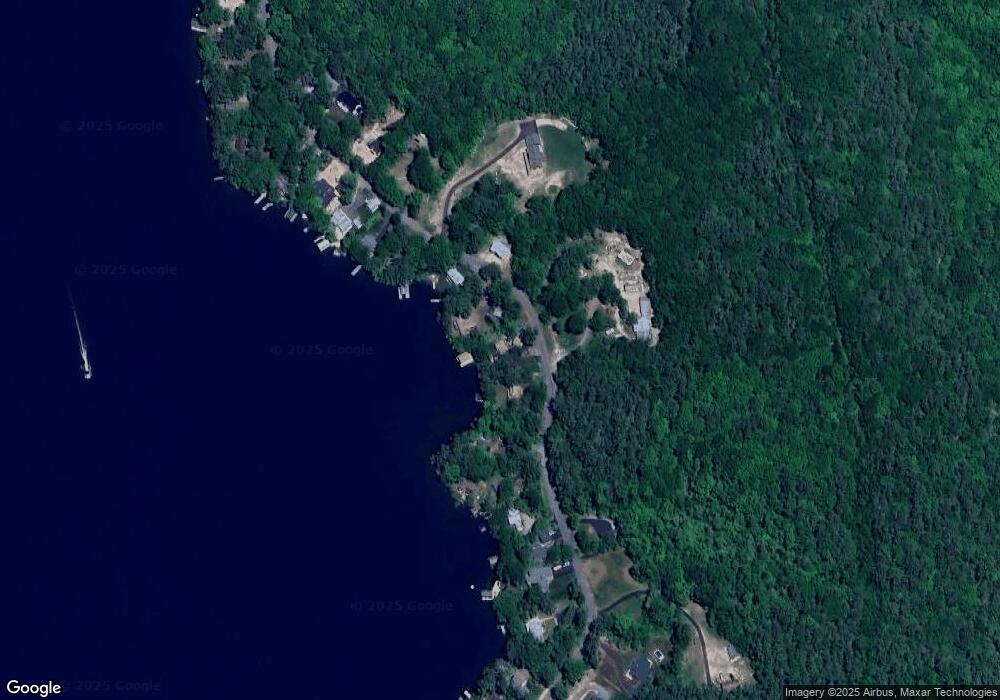
Map
Nearby Homes
- 141 Fort Point Rd
- 204 Route 11-D
- 378 Sleeper Island
- 581 E Side Dr
- Lot 14 Black Point Rd
- Lot 13 Jaytee Dr
- 80 Scott Dr
- 728 E Side Dr
- 74 Jesus Valley Rd
- Lot 5-2-1 Jesus Valley Rd
- Lots 134-135 Wendy Dr
- 90 Jesus Valley Rd
- 729 Old Wolfeboro Rd
- 25 Georges Rd
- 21 Richardson Dr
- 104 Roberts Cove Rd
- 241 Mount Major Hwy
- 72 Timber Ridge Rd
- 25 Clay Point Rd
- 135 Alton Mountain Rd
- 257 Trask Side Rd
- 268 Trask Side Rd
- 270 Trask Side Rd
- 241 Trask Side Rd
- 00 Trask Side Rd
- 263 Trask Side Rd
- 237 Trask Side Rd
- 246 Trask Side Rd
- 267 Trask Side Rd
- 235 Trask Side Rd
- 264 Trask Side Rd
- 270 Trask Unit Road
- 271 Trask Side Rd
- 272 Trask Side Rd
- 227 Trask Side Rd
- 187 Trask Unit Road
- 299 Trask Unit road
- 331 Trask Unit Road
- 277 Trask Unit Road
- 277 Trask Side Rd