Estimated Value: $584,000 - $658,000
3
Beds
2
Baths
2,953
Sq Ft
$207/Sq Ft
Est. Value
About This Home
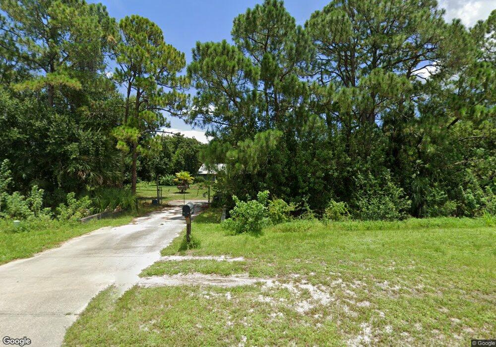
This home is located at 2493 Adamson Rd, Cocoa, FL 32926 and is currently estimated at $612,595, approximately $207 per square foot. 2493 Adamson Rd is a home located in Brevard County with nearby schools including Fairglen Elementary School and Cocoa High School.
Ownership History
Date
Name
Owned For
Owner Type
Purchase Details
Closed on
Dec 30, 1993
Sold by
Moore Alvin J and Moore Betty
Bought by
Holder Ralph B and Holder Phyllis M
Current Estimated Value
Home Financials for this Owner
Home Financials are based on the most recent Mortgage that was taken out on this home.
Original Mortgage
$45,000
Interest Rate
7.09%
Purchase Details
Closed on
Nov 8, 1993
Sold by
Mason Gregory A and Mason Wilma Jean
Bought by
Moore Alvin J and Moore Betty
Home Financials for this Owner
Home Financials are based on the most recent Mortgage that was taken out on this home.
Original Mortgage
$45,000
Interest Rate
7.09%
Create a Home Valuation Report for This Property
The Home Valuation Report is an in-depth analysis detailing your home's value as well as a comparison with similar homes in the area
Home Values in the Area
Average Home Value in this Area
Purchase History
| Date | Buyer | Sale Price | Title Company |
|---|---|---|---|
| Holder Ralph B | $50,000 | -- | |
| Moore Alvin J | $33,200 | -- |
Source: Public Records
Mortgage History
| Date | Status | Borrower | Loan Amount |
|---|---|---|---|
| Closed | Holder Ralph B | $45,000 |
Source: Public Records
Tax History Compared to Growth
Tax History
| Year | Tax Paid | Tax Assessment Tax Assessment Total Assessment is a certain percentage of the fair market value that is determined by local assessors to be the total taxable value of land and additions on the property. | Land | Improvement |
|---|---|---|---|---|
| 2025 | $2,913 | $216,690 | -- | -- |
| 2024 | $2,864 | $210,590 | -- | -- |
| 2023 | $2,864 | $204,460 | $0 | $0 |
| 2022 | $2,685 | $198,510 | $0 | $0 |
| 2021 | $2,730 | $192,730 | $0 | $0 |
| 2020 | $2,706 | $190,070 | $0 | $0 |
| 2019 | $2,652 | $185,800 | $0 | $0 |
| 2018 | $2,655 | $182,340 | $0 | $0 |
| 2017 | $2,672 | $178,590 | $0 | $0 |
| 2016 | $2,709 | $174,920 | $29,120 | $145,800 |
| 2015 | $2,745 | $173,710 | $29,120 | $144,590 |
| 2014 | $2,751 | $172,340 | $29,120 | $143,220 |
Source: Public Records
Map
Nearby Homes
- 2473 Adamson Rd
- 2405 Adamson Rd
- 2420 Adamson Rd
- 0000 Guava St
- 0 Guava St
- 2665 Adamson Rd
- 2365 Adamson Rd
- 6330 Pony Cir
- 2647 N Pacer Ln
- 2637 N Pacer Ln
- 6331 Pony Cir Unit 4
- 6331 Pony Cir
- Unknown NE Unknown St
- Not Assign Unknown
- 0000 Burning Tree Ave Freda Tr
- 3789 Unknown Dr
- VACANT LAND LOT 17 Vacant Land Lot 16
- 6320 Pony Cir
- 6330 Quarterhorse Cir
- 2323 Adamson Rd