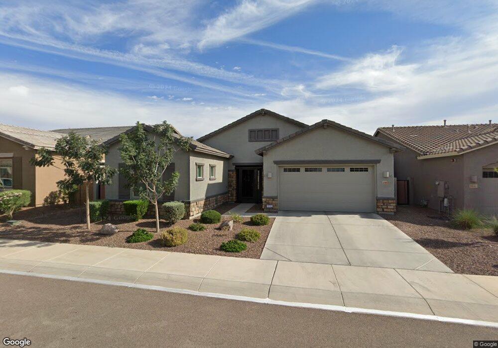
2493 N 212th Dr Buckeye, AZ 85396
Estimated Value: $504,349 - $581,000
--
Bed
1
Bath
2,397
Sq Ft
$230/Sq Ft
Est. Value
About This Home
This home is located at 2493 N 212th Dr, Buckeye, AZ 85396 and is currently estimated at $551,087, approximately $229 per square foot. 2493 N 212th Dr is a home with nearby schools including John S McCain III Elementary School, Youngker High School, and The Odyssey Preparatory Academy - Sienna Hills.
Ownership History
Date
Name
Owned For
Owner Type
Purchase Details
Closed on
Sep 20, 2019
Sold by
Delgado Brandon P and Delgado Alexis M
Bought by
Delgado Brandon P and Delgado Alexis M
Current Estimated Value
Home Financials for this Owner
Home Financials are based on the most recent Mortgage that was taken out on this home.
Original Mortgage
$364,915
Outstanding Balance
$319,637
Interest Rate
3.6%
Estimated Equity
$231,450
Purchase Details
Closed on
Aug 14, 2018
Sold by
Lennar Arizona Inc
Bought by
Delgado B P and Delgado M A
Home Financials for this Owner
Home Financials are based on the most recent Mortgage that was taken out on this home.
Original Mortgage
$364,989
Interest Rate
4.5%
Mortgage Type
VA
Create a Home Valuation Report for This Property
The Home Valuation Report is an in-depth analysis detailing your home's value as well as a comparison with similar homes in the area
Home Values in the Area
Average Home Value in this Area
Purchase History
| Date | Buyer | Sale Price | Title Company |
|---|---|---|---|
| Delgado Brandon P | -- | Title 365 | |
| Delgado B P | $353,330 | North American Title Company |
Source: Public Records
Mortgage History
| Date | Status | Borrower | Loan Amount |
|---|---|---|---|
| Open | Delgado Brandon P | $364,915 | |
| Previous Owner | Delgado B P | $364,989 |
Source: Public Records
Tax History Compared to Growth
Tax History
| Year | Tax Paid | Tax Assessment Tax Assessment Total Assessment is a certain percentage of the fair market value that is determined by local assessors to be the total taxable value of land and additions on the property. | Land | Improvement |
|---|---|---|---|---|
| 2025 | $2,637 | $24,720 | -- | -- |
| 2024 | $2,625 | $23,543 | -- | -- |
| 2023 | $2,625 | $38,980 | $7,790 | $31,190 |
| 2022 | $2,646 | $31,620 | $6,320 | $25,300 |
| 2021 | $2,804 | $28,810 | $5,760 | $23,050 |
| 2020 | $2,640 | $26,810 | $5,360 | $21,450 |
| 2019 | $2,481 | $25,620 | $5,120 | $20,500 |
| 2018 | $88 | $675 | $675 | $0 |
| 2017 | $85 | $435 | $435 | $0 |
Source: Public Records
Map
Nearby Homes
- 2527 N 212th Dr
- 2528 N 211th Ln
- 2338 N 212th Dr
- 2361 N 212th Dr
- 21150 W Cambridge Ave
- 2364 N 212th Ave
- 21064 W Maiden Ln
- 21135 W Edgemont Ave
- 21297 W Edgemont Ave
- 21305 W Edgemont Ave
- 21313 W Edgemont Ave
- 21359 W Alvarado Rd
- 20980 W Maiden Ln
- 21014 W Ridge Rd
- 2885 N Riley Rd
- 2961 N Mountain Cove Cir Unit 103
- 21013 W Wycliff Dr
- 20962 W Thomas Rd
- 3038 N Western Cir Unit 94
- 20950 W Thomas Rd
- 2485 N 212th Dr
- 2505 N 212th Dr
- 2477 N 212th Dr
- 2517 N 212th Dr
- 21224 W Ashland Ave
- 2469 N 212th Dr
- 21233 W Wilshire Dr
- 21232 W Ashland Ave
- 2463 N 212th Dr
- 2535 N 212th Dr
- 2528 N 212th Dr
- 21223 W Ashland Ave
- 21241 W Wilshire Dr
- 21240 W Ashland Ave
- 21231 W Ashland Ave
- 2457 N 212th Dr
- 2543 N 212th Dr
- 2536 N 212th Dr
- 21234 W Wilshire Dr
- 21249 W Wilshire Dr