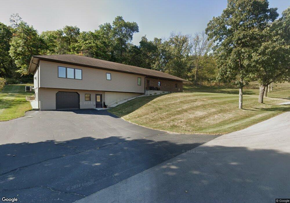
24940 Highway 13 Elkader, IA 52043
Estimated Value: $159,000 - $384,000
2
Beds
2
Baths
1,812
Sq Ft
$161/Sq Ft
Est. Value
About This Home
This home is located at 24940 Highway 13, Elkader, IA 52043 and is currently estimated at $292,343, approximately $161 per square foot. 24940 Highway 13 is a home located in Clayton County with nearby schools including Central Elementary School and Central Middle School/High School.
Ownership History
Date
Name
Owned For
Owner Type
Purchase Details
Closed on
Feb 7, 2013
Sold by
The Estate Of Ellen Elaine Mueller
Bought by
Mueller Joseph and Mueller Denise
Current Estimated Value
Create a Home Valuation Report for This Property
The Home Valuation Report is an in-depth analysis detailing your home's value as well as a comparison with similar homes in the area
Home Values in the Area
Average Home Value in this Area
Purchase History
| Date | Buyer | Sale Price | Title Company |
|---|---|---|---|
| Mueller Joseph | -- | None Available |
Source: Public Records
Tax History Compared to Growth
Tax History
| Year | Tax Paid | Tax Assessment Tax Assessment Total Assessment is a certain percentage of the fair market value that is determined by local assessors to be the total taxable value of land and additions on the property. | Land | Improvement |
|---|---|---|---|---|
| 2025 | $3,800 | $378,498 | $46,000 | $332,498 |
| 2024 | $3,688 | $317,701 | $40,000 | $277,701 |
| 2023 | $3,512 | $317,701 | $40,000 | $277,701 |
| 2022 | $3,388 | $260,470 | $35,000 | $225,470 |
| 2021 | $3,230 | $260,470 | $35,000 | $225,470 |
| 2020 | $3,230 | $240,756 | $30,000 | $210,756 |
| 2019 | $3,242 | $240,756 | $30,000 | $210,756 |
| 2018 | $3,242 | $235,061 | $30,000 | $205,061 |
| 2017 | $3,186 | $235,061 | $30,000 | $205,061 |
| 2015 | $2,894 | $229,532 | $24,000 | $205,532 |
| 2014 | $782 | $213,255 | $18,000 | $195,255 |
Source: Public Records
Map
Nearby Homes
- 0 E Bridge St
- 302 N 3rd St
- 117 S Main St
- 702 N Main St
- 301 N 1st St
- 209 2nd St SW
- 707 N Main St
- 249 Franzen Ridge Rd
- 247 Franzen Ridge Rd
- 710 Woodland Dr NW
- 26642 Iowa 13
- 27766 Highway 13
- 0 13 Hwy Unit NBR20255145
- 27455 Harbor Rd
- 0 Grandview Rd
- 305 S Russell St
- 14149 Iowa 56
- TBD Country Rd
- 108 Adams Ct
- 306 S Monroe St
- 24942 Highway 13
- 24938 Iowa 13
- 24938 Highway 13
- 24938 13 Hwy
- 24950 Highway 13
- 922 High St NE
- 20787 Grape Rd
- 20751 Grape Rd
- 121 Kristine Ave NE
- 914 High St NE
- 918 High St NE
- Lot 31 Breezy Summit
- Lot 31 Breezy Summit
- 821 High St NE
- 821 N High St
- Lot 41 Breezy Summit
- 0 Kristine Ave Unit 20182330
- 928 High St NE
- 912 High St NE
- 21315 250th St