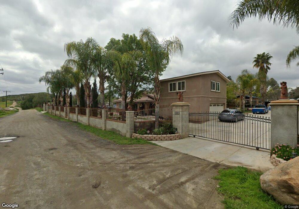
24955 Mcpherson Rd Perris, CA 92570
Estimated Value: $567,000 - $724,000
4
Beds
2
Baths
1,904
Sq Ft
$341/Sq Ft
Est. Value
About This Home
This home is located at 24955 Mcpherson Rd, Perris, CA 92570 and is currently estimated at $649,716, approximately $341 per square foot. 24955 Mcpherson Rd is a home located in Riverside County with nearby schools including Railway Elementary School, Pinacate Middle School, and Perris High School.
Ownership History
Date
Name
Owned For
Owner Type
Purchase Details
Closed on
Aug 4, 2003
Sold by
Lomax Michael P
Bought by
Jimenez Mario A and Chacon Carmen A
Current Estimated Value
Home Financials for this Owner
Home Financials are based on the most recent Mortgage that was taken out on this home.
Original Mortgage
$125,000
Interest Rate
6.22%
Mortgage Type
Purchase Money Mortgage
Purchase Details
Closed on
Jul 9, 2002
Sold by
Lomax Linda
Bought by
Lomax Michael P
Purchase Details
Closed on
Jul 1, 2002
Sold by
Lomax Michael P
Bought by
Lomax Michael P
Create a Home Valuation Report for This Property
The Home Valuation Report is an in-depth analysis detailing your home's value as well as a comparison with similar homes in the area
Purchase History
| Date | Buyer | Sale Price | Title Company |
|---|---|---|---|
| Jimenez Mario A | $219,954 | Old Republic Title Company | |
| Lomax Michael P | -- | Fidelity National Title Co | |
| Lomax Michael P | -- | Fidelity National Title Co |
Source: Public Records
Mortgage History
| Date | Status | Borrower | Loan Amount |
|---|---|---|---|
| Previous Owner | Jimenez Mario A | $125,000 |
Source: Public Records
Tax History
| Year | Tax Paid | Tax Assessment Tax Assessment Total Assessment is a certain percentage of the fair market value that is determined by local assessors to be the total taxable value of land and additions on the property. | Land | Improvement |
|---|---|---|---|---|
| 2025 | $3,255 | $298,037 | $99,510 | $198,527 |
| 2023 | $3,255 | $286,466 | $95,647 | $190,819 |
| 2022 | $3,217 | $280,850 | $93,772 | $187,078 |
| 2021 | $3,153 | $275,344 | $91,934 | $183,410 |
| 2020 | $3,287 | $272,522 | $90,992 | $181,530 |
| 2019 | $3,504 | $267,179 | $89,208 | $177,971 |
| 2018 | $3,338 | $261,941 | $87,460 | $174,481 |
| 2017 | $3,411 | $256,806 | $85,746 | $171,060 |
| 2016 | $2,430 | $171,234 | $58,000 | $113,234 |
| 2015 | $2,930 | $217,000 | $76,000 | $141,000 |
| 2014 | $2,097 | $155,000 | $54,000 | $101,000 |
Source: Public Records
Map
Nearby Homes
- 1234 Jimmy Taylor Dr
- 22955 Betty Rd
- 23475 Stafford St
- 1893 Loma Bonita St
- 24603 California 74
- 23970 California 74
- 24755 State Highway 74
- 0 E Clayton St Unit IV25260598
- 0 River Rd
- 342 Red Pine Place
- 311 Red Pine Place
- 190 Mapes Rd
- 595 W 11th St
- 3470 Yellowstone Ct
- 22401 Ellis Ave
- 24 Malbert St
- 560 W 10th St
- 23500 State Highway 74
- 3454 Bryce Canyon Way
- 640 Apache Rd
- 2364 Sunnysands Dr
- 23450 Mapes Rd
- 2344 Sunnysands Dr
- 2324 Sunnysands Dr
- 2304 Sunnysands Dr
- 2294 Sunnysands Dr
- 24835 Mcpherson Rd
- 24835 Phillips St
- 2323 Sunnysands Dr
- 2303 Sunnysands Dr
- 2264 Sunnysands Dr
- 2343 Sunnysands Dr
- 2283 Sunnysands Dr
- 2363 Sunnysands Dr
- 2263 Sunnysands Dr
- 2393 Sunnysands Dr
- 1123 Mapes Rd
- 2322 Sunpark Dr
- 24755 Mcpherson Rd
- 2243 Sunnysands Dr
Your Personal Tour Guide
Ask me questions while you tour the home.