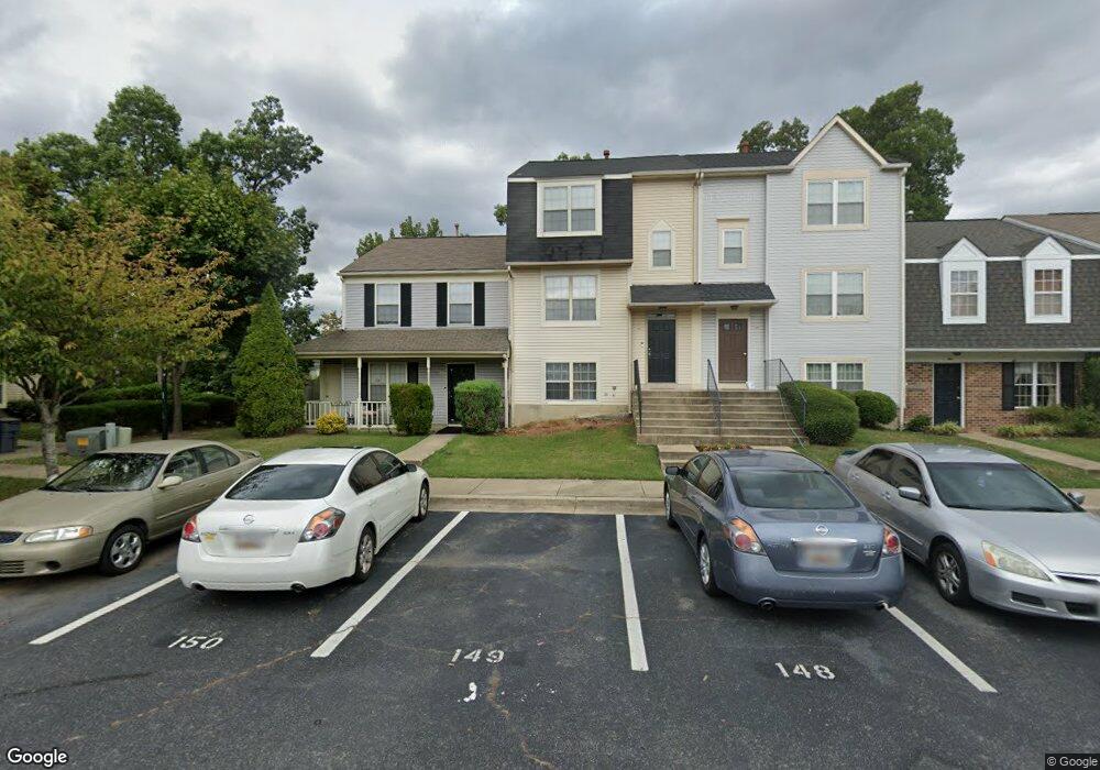
2497 Homestead Ct Waldorf, MD 20601
Estimated Value: $315,000 - $340,988
4
Beds
3
Baths
1,368
Sq Ft
$239/Sq Ft
Est. Value
About This Home
This home is located at 2497 Homestead Ct, Waldorf, MD 20601 and is currently estimated at $326,997, approximately $239 per square foot. 2497 Homestead Ct is a home located in Charles County with nearby schools including C. Paul Barnhart Elementary School, Mattawoman Middle School, and Thomas Stone High School.
Ownership History
Date
Name
Owned For
Owner Type
Purchase Details
Closed on
Dec 1, 2005
Sold by
Robinson Lewis A and Robinson Sherri S
Bought by
Fields Kevin
Current Estimated Value
Home Financials for this Owner
Home Financials are based on the most recent Mortgage that was taken out on this home.
Original Mortgage
$188,000
Outstanding Balance
$101,276
Interest Rate
5.67%
Mortgage Type
New Conventional
Estimated Equity
$225,721
Purchase Details
Closed on
Oct 16, 2002
Sold by
Defilippo Phillip A and Defilippo Jennifer P
Bought by
Robinson Lewis A and Robinson Sherri S
Purchase Details
Closed on
Apr 5, 2001
Sold by
Defilippo Phillip A
Bought by
Defilippo Phillip A and Defilippo Jennifer P
Create a Home Valuation Report for This Property
The Home Valuation Report is an in-depth analysis detailing your home's value as well as a comparison with similar homes in the area
Home Values in the Area
Average Home Value in this Area
Purchase History
| Date | Buyer | Sale Price | Title Company |
|---|---|---|---|
| Fields Kevin | $235,000 | -- | |
| Robinson Lewis A | $142,000 | -- | |
| Defilippo Phillip A | -- | -- |
Source: Public Records
Mortgage History
| Date | Status | Borrower | Loan Amount |
|---|---|---|---|
| Open | Fields Kevin | $188,000 | |
| Closed | Fields Kevin | $47,000 | |
| Closed | Defilippo Phillip A | -- |
Source: Public Records
Tax History Compared to Growth
Tax History
| Year | Tax Paid | Tax Assessment Tax Assessment Total Assessment is a certain percentage of the fair market value that is determined by local assessors to be the total taxable value of land and additions on the property. | Land | Improvement |
|---|---|---|---|---|
| 2025 | $3,679 | $252,400 | -- | -- |
| 2024 | $3,380 | $232,200 | $90,000 | $142,200 |
| 2023 | $3,133 | $219,233 | $0 | $0 |
| 2022 | $2,984 | $206,267 | $0 | $0 |
| 2021 | $2,587 | $193,300 | $80,000 | $113,300 |
| 2020 | $2,587 | $180,033 | $0 | $0 |
| 2019 | $2,393 | $166,767 | $0 | $0 |
| 2018 | $2,184 | $153,500 | $75,000 | $78,500 |
| 2017 | $2,178 | $153,500 | $0 | $0 |
| 2016 | -- | $153,500 | $0 | $0 |
| 2015 | $2,499 | $154,900 | $0 | $0 |
| 2014 | $2,499 | $154,900 | $0 | $0 |
Source: Public Records
Map
Nearby Homes
- 2031 Tanglewood Dr
- 2545 Enterprise Place
- HAYDEN Plan at Acton Park
- 2073 Tanglewood Dr
- 2522 Regal Place
- 12113 Farrar Place
- 231 Westdale Dr
- 11565 Timberbrook Dr
- 11748 Torcello Ct
- 11519 Shearwater Dr
- 11616 Kipling Dr
- 2712 Tred Avon Ct
- 2704 Tred Avon Ct
- 11613 Gallinule Ct
- 11824 Murre Ct
- 12061 Pierce Rd
- 11507 Timberbrook Dr
- 2204 Holly Oak Ct
- 11540 Leland Place
- 11800 Railroad Place
- 2498 Homestead Ct
- 2496 Homestead Ct
- 2494 Homestead Ct
- 2492 Homestead Ct
- 2491 Homestead Ct
- 2489 Homestead Ct
- 2487 Homestead Ct
- 2488 Homestead Ct
- 2485 Homestead Ct
- 2486 Homestead Ct
- 2483 Homestead Ct
- 2484 Homestead Ct
- 2482 Homestead Ct
- 11924 Homestead Place
- 11922 Homestead Place
- 11884 Homestead Place
- 11888 Homestead Place
- 11890 Homestead Place
- 11920 Homestead Place
- 2039 Tanglewood Dr