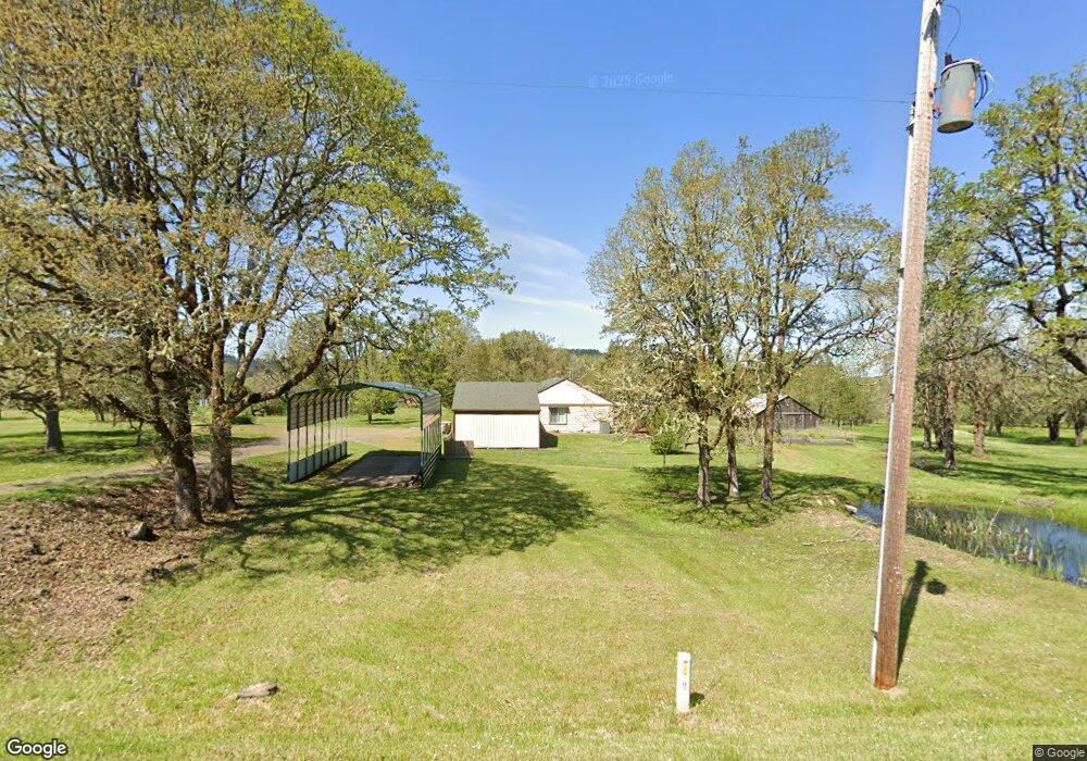
24979 Llewellyn Rd Corvallis, OR 97333
Estimated Value: $621,420 - $839,000
4
Beds
3
Baths
1,814
Sq Ft
$399/Sq Ft
Est. Value
About This Home
This home is located at 24979 Llewellyn Rd, Corvallis, OR 97333 and is currently estimated at $723,855, approximately $399 per square foot. 24979 Llewellyn Rd is a home located in Benton County with nearby schools including Adams Elementary School, Linus Pauling Middle School, and Corvallis High School.
Ownership History
Date
Name
Owned For
Owner Type
Purchase Details
Closed on
Aug 4, 2000
Sold by
Bangs Ronald J and Bangs Penny H
Bought by
Byrne James K and Byrne Pamela
Current Estimated Value
Home Financials for this Owner
Home Financials are based on the most recent Mortgage that was taken out on this home.
Original Mortgage
$167,500
Outstanding Balance
$58,924
Interest Rate
8.19%
Estimated Equity
$664,931
Purchase Details
Closed on
Mar 13, 1995
Bought by
Byrne Pamela
Create a Home Valuation Report for This Property
The Home Valuation Report is an in-depth analysis detailing your home's value as well as a comparison with similar homes in the area
Home Values in the Area
Average Home Value in this Area
Purchase History
| Date | Buyer | Sale Price | Title Company |
|---|---|---|---|
| Byrne James K | $257,500 | First American Title Co | |
| Byrne Pamela | $183,000 | -- |
Source: Public Records
Mortgage History
| Date | Status | Borrower | Loan Amount |
|---|---|---|---|
| Open | Byrne James K | $167,500 |
Source: Public Records
Tax History Compared to Growth
Tax History
| Year | Tax Paid | Tax Assessment Tax Assessment Total Assessment is a certain percentage of the fair market value that is determined by local assessors to be the total taxable value of land and additions on the property. | Land | Improvement |
|---|---|---|---|---|
| 2025 | $2,744 | $184,495 | -- | -- |
| 2024 | $2,744 | $179,237 | -- | -- |
| 2023 | $2,589 | $174,132 | $0 | $0 |
| 2022 | $2,518 | $169,177 | $0 | $0 |
| 2021 | $2,438 | $164,367 | $0 | $0 |
| 2020 | $2,426 | $159,697 | $0 | $0 |
| 2019 | $2,230 | $155,161 | $0 | $0 |
| 2018 | $2,245 | $150,758 | $0 | $0 |
| 2017 | $2,055 | $146,484 | $0 | $0 |
| 2016 | $2,005 | $142,334 | $0 | $0 |
| 2015 | $1,969 | $138,582 | $0 | $0 |
| 2014 | $1,958 | $137,211 | $0 | $0 |
| 2012 | -- | $134,056 | $0 | $0 |
Source: Public Records
Map
Nearby Homes
- 31970 Fern Rd
- 31722 Mcloughlin Dr
- 23835 Greasy Creek Rd
- 23515 Clark Dr
- 23508 Lewis Dr
- 31636 Lewis Place
- 760 S 16th St
- 1502 Timothy St
- 235 S 18th St
- 803 Main St
- 3125 Southwood Dr
- 135 S 21st St
- 1717 Main St
- 3425 Southwood Dr
- 223 N 14th St
- 224 S 24th St
- 409 S 30th St
- 240 N 19th St
- 407 S 30th St
- 5285 & 5287 SW Watenpaugh Ave
- 30697 Peterson Rd
- 30684 Peterson Rd
- 24908 Llewellyn Rd
- 30654 Peterson Rd
- 25034 Llewellyn Rd
- 30636 Peterson Rd
- 30622 Peterson Rd
- 25134 Llewellyn Rd
- 24891 SW Redwood Ln
- 30634 Oakview Dr
- 30672 Oakview Dr
- 30602 Oakview Dr
- 24827 Llewellyn Rd
- 24885 SW Redwood Ln
- 30583 Peterson Rd
- 30679 Oakview Dr
- 30667 Oakview Dr
- 30584 Oakview Dr
- 25180 Llewellyn Rd
- 30617 Oakview Dr