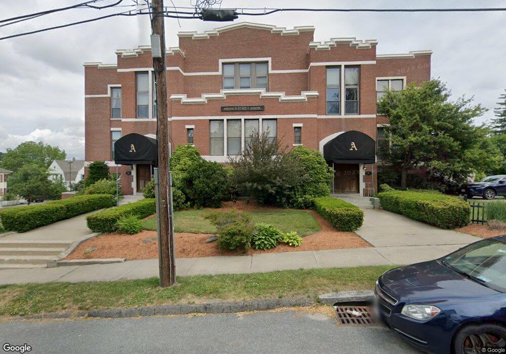
25 Andover St Unit F1 Worcester, MA 01606
Greendale NeighborhoodEstimated Value: $298,000 - $318,898
2
Beds
1
Bath
927
Sq Ft
$330/Sq Ft
Est. Value
About This Home
This home is located at 25 Andover St Unit F1, Worcester, MA 01606 and is currently estimated at $306,225, approximately $330 per square foot. 25 Andover St Unit F1 is a home located in Worcester County with nearby schools including Jacob Hiatt Magnet School, Chandler Magnet, and Thorndyke Road School.
Ownership History
Date
Name
Owned For
Owner Type
Purchase Details
Closed on
Mar 4, 2020
Sold by
Maynard Amanda
Bought by
Green Sadie
Current Estimated Value
Home Financials for this Owner
Home Financials are based on the most recent Mortgage that was taken out on this home.
Original Mortgage
$180,000
Outstanding Balance
$159,416
Interest Rate
3.5%
Mortgage Type
New Conventional
Estimated Equity
$146,809
Purchase Details
Closed on
Apr 6, 2017
Sold by
Mcginn Joan
Bought by
Maynard Amanda
Home Financials for this Owner
Home Financials are based on the most recent Mortgage that was taken out on this home.
Original Mortgage
$119,700
Interest Rate
4.16%
Mortgage Type
New Conventional
Purchase Details
Closed on
Jul 25, 2002
Sold by
Plouffe William H
Bought by
Mcginn Joan
Purchase Details
Closed on
Aug 13, 1996
Sold by
Langlois Harold and Langlois Gaytha
Bought by
Plouffe William H
Home Financials for this Owner
Home Financials are based on the most recent Mortgage that was taken out on this home.
Original Mortgage
$40,000
Interest Rate
8.24%
Mortgage Type
Purchase Money Mortgage
Create a Home Valuation Report for This Property
The Home Valuation Report is an in-depth analysis detailing your home's value as well as a comparison with similar homes in the area
Home Values in the Area
Average Home Value in this Area
Purchase History
| Date | Buyer | Sale Price | Title Company |
|---|---|---|---|
| Green Sadie | $180,000 | None Available | |
| Maynard Amanda | $133,000 | -- | |
| Mcginn Joan | $129,900 | -- | |
| Plouffe William H | $62,000 | -- |
Source: Public Records
Mortgage History
| Date | Status | Borrower | Loan Amount |
|---|---|---|---|
| Open | Green Sadie | $180,000 | |
| Previous Owner | Maynard Amanda | $119,700 | |
| Previous Owner | Plouffe William H | $40,000 |
Source: Public Records
Tax History Compared to Growth
Tax History
| Year | Tax Paid | Tax Assessment Tax Assessment Total Assessment is a certain percentage of the fair market value that is determined by local assessors to be the total taxable value of land and additions on the property. | Land | Improvement |
|---|---|---|---|---|
| 2025 | $3,770 | $285,800 | $0 | $285,800 |
| 2024 | $3,601 | $261,900 | $0 | $261,900 |
| 2023 | $2,908 | $202,800 | $0 | $202,800 |
| 2022 | $2,777 | $182,600 | $0 | $182,600 |
| 2021 | $2,460 | $151,100 | $0 | $151,100 |
| 2020 | $2,395 | $140,900 | $0 | $140,900 |
| 2019 | $2,461 | $136,700 | $0 | $136,700 |
| 2018 | $2,396 | $126,700 | $0 | $126,700 |
| 2017 | $2,385 | $124,100 | $0 | $124,100 |
| 2016 | $2,558 | $124,100 | $0 | $124,100 |
| 2015 | $2,491 | $124,100 | $0 | $124,100 |
| 2014 | $2,425 | $124,100 | $0 | $124,100 |
Source: Public Records
Map
Nearby Homes
- 25 Andover St Unit S4
- 25 Andover St Unit S3
- 25 Andover St Unit S2
- 25 Andover St Unit S1
- 25 Andover St Unit G3
- 25 Andover St Unit G2
- 25 Andover St Unit F4
- 25 Andover St Unit F2
- 25 Andover St Unit F1
- 25 Andover St Unit G1,25
- 25 Andover St Unit S2,25
- 25 Andover St Unit GI
- 25 Andover St Unit 25
- 25 Andover St Unit 4
- 25 Andover St Unit 9-5 25
- 26 Andover St
- 37 Andover St
- 28 Andover St Unit 1
- 34 King Philip Rd
- 34 King Philip Rd Unit 2