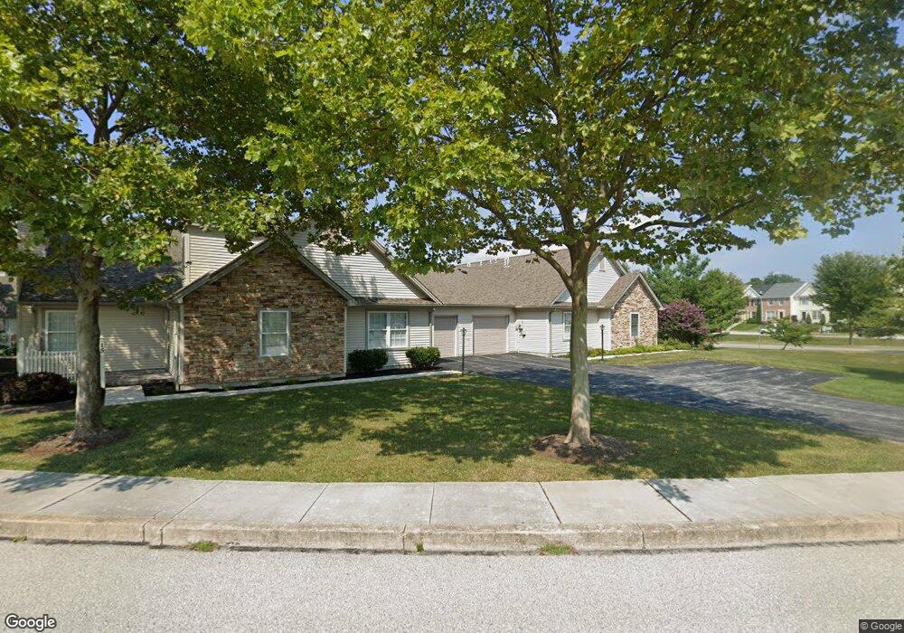
25 Apple Jack Ln Unit 4 Littlestown, PA 17340
Estimated Value: $272,000 - $324,000
2
Beds
4
Baths
1,699
Sq Ft
$169/Sq Ft
Est. Value
About This Home
This home is located at 25 Apple Jack Ln Unit 4, Littlestown, PA 17340 and is currently estimated at $287,838, approximately $169 per square foot. 25 Apple Jack Ln Unit 4 is a home located in Adams County with nearby schools including Rolling Acres El School, Maple Avenue Middle School, and Littlestown Senior High School.
Ownership History
Date
Name
Owned For
Owner Type
Purchase Details
Closed on
Jun 28, 2018
Sold by
Balnkenship Judith L
Bought by
Cooper Linda M
Current Estimated Value
Purchase Details
Closed on
Nov 27, 2006
Sold by
Wilson Martha Jean
Bought by
Blankenship Judith L
Home Financials for this Owner
Home Financials are based on the most recent Mortgage that was taken out on this home.
Original Mortgage
$61,000
Interest Rate
6.4%
Mortgage Type
New Conventional
Create a Home Valuation Report for This Property
The Home Valuation Report is an in-depth analysis detailing your home's value as well as a comparison with similar homes in the area
Home Values in the Area
Average Home Value in this Area
Purchase History
| Date | Buyer | Sale Price | Title Company |
|---|---|---|---|
| Cooper Linda M | $200,000 | -- | |
| Blankenship Judith L | $240,000 | -- |
Source: Public Records
Mortgage History
| Date | Status | Borrower | Loan Amount |
|---|---|---|---|
| Previous Owner | Blankenship Judith L | $61,000 |
Source: Public Records
Tax History Compared to Growth
Tax History
| Year | Tax Paid | Tax Assessment Tax Assessment Total Assessment is a certain percentage of the fair market value that is determined by local assessors to be the total taxable value of land and additions on the property. | Land | Improvement |
|---|---|---|---|---|
| 2025 | $4,476 | $194,700 | $0 | $194,700 |
| 2024 | $4,313 | $194,700 | $0 | $194,700 |
| 2023 | $4,146 | $194,700 | $0 | $194,700 |
| 2022 | $4,121 | $194,700 | $0 | $194,700 |
| 2021 | $3,999 | $194,700 | $0 | $194,700 |
| 2020 | $3,951 | $194,700 | $0 | $194,700 |
| 2019 | $3,833 | $194,700 | $0 | $194,700 |
| 2018 | $3,763 | $194,700 | $0 | $194,700 |
| 2017 | $3,666 | $194,700 | $0 | $194,700 |
| 2016 | -- | $194,700 | $0 | $194,700 |
| 2015 | -- | $194,700 | $0 | $194,700 |
| 2014 | -- | $194,700 | $0 | $194,700 |
Source: Public Records
Map
Nearby Homes
- 440 N Queen St
- 140 Apple Grove Ln Unit 425
- 161 Stoners Cir
- 58 Windsor Ct
- 48 Windsor Ct
- 20c Locust Dr
- 0 Locust Dr Unit PAAD2015910
- 22 Rita Marie Ave
- 162 Newark St
- 129 W King St
- 115 Charles St
- 117 Charles St
- 106 E King St
- 61 E King St
- 1024 Frederick Pike Unit 6
- 211 E King St
- 241 M St
- 41 Smith Cir
- 535 Lumber St
- 559 Lumber St
- 11 Apple Jack Ln Unit 3
- 21 Apple Jack Ln Unit 2
- 15 Apple Jack Ln Unit 1
- 29 Apple Jack Ln Unit 7
- 35 Lori Ln
- 8 Lori Lot #8 Ln
- 8207 Cemetary St and South Queen St
- 8 Lori Ln
- 33 Apple Jack Ln Unit 5
- 45 Apple Jack Ln Unit 8
- 41 Apple Jack Ln Unit 6
- 71 Stedtle Ct
- 49 Apple Jack Ln Unit 11
- 69 Stedtle Ct
- 65 Apple Jack Ln Unit 12
- 61 Apple Jack Ln Unit 10
- 73 Stedtle Ct
- 67 Stedtle Ct
- 9 Johnamac N Unit 389