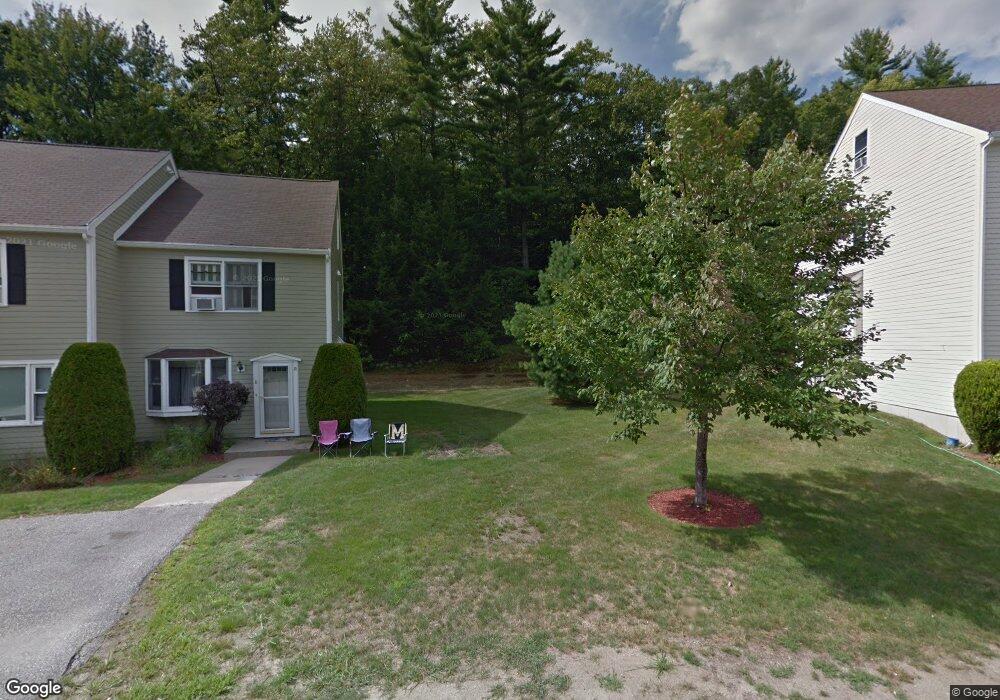
25 Chestnut Cir MerriMacK, NH 03054
Estimated Value: $384,094 - $394,000
2
Beds
3
Baths
1,553
Sq Ft
$250/Sq Ft
Est. Value
About This Home
This home is located at 25 Chestnut Cir, MerriMacK, NH 03054 and is currently estimated at $387,774, approximately $249 per square foot. 25 Chestnut Cir is a home located in Hillsborough County with nearby schools including Reeds Ferry School, James Mastricola Upper Elementary School, and Merrimack Middle School.
Ownership History
Date
Name
Owned For
Owner Type
Purchase Details
Closed on
Dec 3, 2013
Sold by
Glosser Cynthia A
Bought by
Cynthia A Glosser Ret and Glosser Cynthia A
Current Estimated Value
Purchase Details
Closed on
Sep 30, 2005
Sold by
Ballard James S
Bought by
Glosser Cynthia A
Home Financials for this Owner
Home Financials are based on the most recent Mortgage that was taken out on this home.
Original Mortgage
$157,600
Interest Rate
5.84%
Create a Home Valuation Report for This Property
The Home Valuation Report is an in-depth analysis detailing your home's value as well as a comparison with similar homes in the area
Home Values in the Area
Average Home Value in this Area
Purchase History
| Date | Buyer | Sale Price | Title Company |
|---|---|---|---|
| Cynthia A Glosser Ret | -- | -- | |
| Glosser Cynthia A | $197,000 | -- |
Source: Public Records
Mortgage History
| Date | Status | Borrower | Loan Amount |
|---|---|---|---|
| Previous Owner | Glosser Cynthia A | $140,600 | |
| Previous Owner | Glosser Cynthia A | $157,600 |
Source: Public Records
Tax History Compared to Growth
Tax History
| Year | Tax Paid | Tax Assessment Tax Assessment Total Assessment is a certain percentage of the fair market value that is determined by local assessors to be the total taxable value of land and additions on the property. | Land | Improvement |
|---|---|---|---|---|
| 2024 | $5,040 | $243,600 | $0 | $243,600 |
| 2023 | $4,738 | $243,600 | $0 | $243,600 |
| 2022 | $4,229 | $243,300 | $0 | $243,300 |
| 2021 | $4,177 | $243,300 | $0 | $243,300 |
| 2020 | $4,136 | $171,900 | $0 | $171,900 |
| 2019 | $4,148 | $171,900 | $0 | $171,900 |
| 2018 | $4,146 | $171,900 | $0 | $171,900 |
| 2017 | $4,017 | $171,900 | $0 | $171,900 |
| 2016 | $3,918 | $171,900 | $0 | $171,900 |
| 2015 | $3,854 | $155,900 | $0 | $155,900 |
| 2014 | $3,756 | $155,900 | $0 | $155,900 |
| 2013 | $3,945 | $165,000 | $0 | $165,000 |
Source: Public Records
Map
Nearby Homes
- 22 Kimberly Dr
- 18 Horizon Dr
- 29 Bedford Rd
- 5 Barbie Ct
- 769 Daniel Webster Hwy
- 9 Mustang Dr Unit C
- 9 Mustang Dr Unit B
- 7 Mustang Dr Unit C
- 7 Mustang Dr Unit END UNIT-A
- 3-C Mustang Dr Unit MODEL
- 4543 Brown Ave
- 4481 Brown Ave
- 1 Pleasant St
- 490 Charles Bancroft Hwy
- 53 Pine Ave
- 56 Greenfield Pkwy
- 4243 Brown Ave
- 19 Vista Way
- 29 Watts Landing Unit 24
- 16 Summit Rd
- 25 Cricket Hill Dr
- 15 Chestnut Cir
- 5 Chestnut Cir
- 24 Fairway Dr
- 22 Fairway Dr
- 28 Fairway Dr
- 24 Rocky Ledge Rd
- 24 Chestnut Cir
- 14 Chestnut Cir
- 20 Fairway Dr
- 23 Fairway Dr
- 21 Fairway Dr
- 51 Springpond Rd
- 31 Chestnut Cir
- 11 Chestnut Cir
- 1 Chestnut Cir
- 18 Fairway Dr
- 24 Greenfield Dr
- 19 Fairway Dr
- 17 Fairway Dr