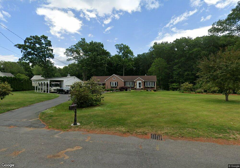
25 Chestnut St Easthampton, MA 01027
Estimated Value: $498,000 - $624,000
2
Beds
3
Baths
2,100
Sq Ft
$265/Sq Ft
Est. Value
About This Home
This home is located at 25 Chestnut St, Easthampton, MA 01027 and is currently estimated at $555,567, approximately $264 per square foot. 25 Chestnut St is a home located in Hampshire County with nearby schools including Easthampton High School, Tri-County Schools, and New England Adolescent Research Institute.
Ownership History
Date
Name
Owned For
Owner Type
Purchase Details
Closed on
Mar 7, 1994
Sold by
Novak Rose P
Bought by
Prafek Christina M
Current Estimated Value
Home Financials for this Owner
Home Financials are based on the most recent Mortgage that was taken out on this home.
Original Mortgage
$61,750
Interest Rate
7.01%
Mortgage Type
Purchase Money Mortgage
Purchase Details
Closed on
Jul 2, 1990
Sold by
Finkle Pearl
Bought by
Lamothe Robert T
Create a Home Valuation Report for This Property
The Home Valuation Report is an in-depth analysis detailing your home's value as well as a comparison with similar homes in the area
Home Values in the Area
Average Home Value in this Area
Purchase History
| Date | Buyer | Sale Price | Title Company |
|---|---|---|---|
| Prafek Christina M | $65,000 | -- | |
| Lamothe Robert T | $141,000 | -- |
Source: Public Records
Mortgage History
| Date | Status | Borrower | Loan Amount |
|---|---|---|---|
| Open | Lamothe Robert T | $150,000 | |
| Closed | Lamothe Robert T | $100,000 | |
| Closed | Lamothe Robert T | $61,750 |
Source: Public Records
Tax History
| Year | Tax Paid | Tax Assessment Tax Assessment Total Assessment is a certain percentage of the fair market value that is determined by local assessors to be the total taxable value of land and additions on the property. | Land | Improvement |
|---|---|---|---|---|
| 2025 | $7,197 | $526,500 | $119,600 | $406,900 |
| 2024 | $7,001 | $516,300 | $115,900 | $400,400 |
| 2023 | $5,224 | $356,600 | $92,300 | $264,300 |
| 2022 | $5,895 | $356,600 | $92,300 | $264,300 |
| 2021 | $6,485 | $369,700 | $92,300 | $277,400 |
| 2020 | $6,333 | $356,600 | $92,300 | $264,300 |
| 2019 | $5,270 | $340,900 | $92,300 | $248,600 |
| 2018 | $5,032 | $314,500 | $86,800 | $227,700 |
| 2017 | $4,920 | $303,500 | $83,600 | $219,900 |
| 2016 | $4,942 | $317,000 | $83,600 | $233,400 |
| 2015 | $4,803 | $317,000 | $83,600 | $233,400 |
Source: Public Records
Map
Nearby Homes
- 40 Clark St
- 2 Oak St
- 4 Gaugh St
- 33 Knipfer Ave
- 19 Nicols Way Unit 19
- 29 Parsons St Unit 1
- 12 Glen Cove Place Unit B
- 18-20 Oakdale Place
- 10 Glen Cove Place Unit A
- 7 Union Ct
- 211 East St Unit 11
- 36 & 36R Holly Cir
- 6 Wilton Rd
- 11 Dragon Cir
- 6 S St & Abutting Lots
- 41 South St Unit 11
- 2 W Park Dr
- 336 Main St
- 385 Main St
- M143 &152 Glendale St
Your Personal Tour Guide
Ask me questions while you tour the home.