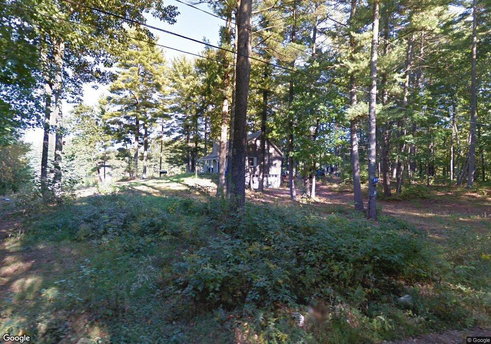
25 Coles Pond Rd Somersworth, NH 03878
Estimated Value: $412,000 - $436,000
1
Bed
1
Bath
1,071
Sq Ft
$396/Sq Ft
Est. Value
About This Home
This home is located at 25 Coles Pond Rd, Somersworth, NH 03878 and is currently estimated at $424,098, approximately $395 per square foot. 25 Coles Pond Rd is a home with nearby schools including Maple Wood Elementary School, Somersworth High School, and Tri-City Christian Academy.
Ownership History
Date
Name
Owned For
Owner Type
Purchase Details
Closed on
Sep 12, 2017
Sold by
Korogod Andrey
Bought by
Korogod Andrey and Korogod Kristen
Current Estimated Value
Purchase Details
Closed on
Aug 17, 2009
Sold by
Hubbard Neale A
Bought by
Korogod Andrey
Home Financials for this Owner
Home Financials are based on the most recent Mortgage that was taken out on this home.
Original Mortgage
$115,500
Interest Rate
5.36%
Create a Home Valuation Report for This Property
The Home Valuation Report is an in-depth analysis detailing your home's value as well as a comparison with similar homes in the area
Home Values in the Area
Average Home Value in this Area
Purchase History
| Date | Buyer | Sale Price | Title Company |
|---|---|---|---|
| Korogod Andrey | -- | -- | |
| Korogod Andrey | $185,000 | -- |
Source: Public Records
Mortgage History
| Date | Status | Borrower | Loan Amount |
|---|---|---|---|
| Previous Owner | Korogod Andrey | $115,500 |
Source: Public Records
Tax History Compared to Growth
Tax History
| Year | Tax Paid | Tax Assessment Tax Assessment Total Assessment is a certain percentage of the fair market value that is determined by local assessors to be the total taxable value of land and additions on the property. | Land | Improvement |
|---|---|---|---|---|
| 2024 | $6,898 | $368,900 | $125,100 | $243,800 |
| 2023 | $6,405 | $218,600 | $53,600 | $165,000 |
| 2022 | $6,140 | $218,600 | $53,600 | $165,000 |
| 2021 | $6,018 | $218,600 | $53,600 | $165,000 |
| 2020 | $3,337 | $218,600 | $53,600 | $165,000 |
| 2019 | $5,963 | $218,600 | $53,600 | $165,000 |
| 2018 | $3,542 | $177,300 | $65,100 | $112,200 |
| 2017 | $4,060 | $177,300 | $65,100 | $112,200 |
| 2016 | $3,485 | $177,300 | $65,100 | $112,200 |
| 2015 | $5,573 | $172,800 | $65,100 | $107,700 |
| 2014 | $5,381 | $172,800 | $65,100 | $107,700 |
Source: Public Records
Map
Nearby Homes
- 43 Otis Rd
- 159 W High St
- 395 Route 108
- 163 Rochester St
- 94 Maple St Unit A
- 203 New Hampshire 108
- 45 Crystal Springs Way
- 18 Lenox Dr Unit C
- 4539A Knox Ln
- 58 Knox Ln
- 29 Chadwick Ln
- 35 Rochester St
- 23 Mount Vernon St
- 18 Grand St
- 11 Linden St
- 1 Bridge St
- 19B Birch Hill Ln Unit 19B
- 24-26 Highland St
- 23A Birch Hill Ln Unit 23A
- 23B Birch Hill Ln Unit 23B
- 31 Coles Pond Rd
- 17 Coles Pond Rd
- 33 Coles Pond Prow
- 33 Coles Pond Rd
- 23 Coles Pond Rd
- 35 Coles Pond Rd
- 34 Coles Pond Prow
- 93 Coles Pond Prow
- 68 Lily Pond Rd
- -- Coles Pond Rd
- 46 Lily Pond Rd
- 52 Lily Pond Rd
- 9 Lakeview Dr
- 88 Lily Pond Rd
- 90 Lily Pond Rd
- 90 Lily Pond Rd Unit 30-4
- 90 Llly Pond Unit 30-4
- 83 Lily Pond Rd
- 82 Lily Pond Rd
- 98 Lily Pond Rd