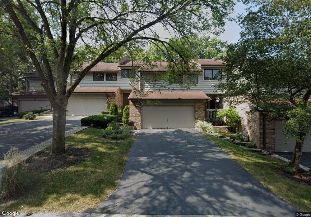
25 Commons Dr Palos Park, IL 60464
Ishnala NeighborhoodEstimated Value: $364,000 - $457,000
3
Beds
3
Baths
1,927
Sq Ft
$208/Sq Ft
Est. Value
About This Home
This home is located at 25 Commons Dr, Palos Park, IL 60464 and is currently estimated at $400,407, approximately $207 per square foot. 25 Commons Dr is a home located in Cook County with nearby schools including Palos East Elementary School, Palos South Middle School, and Amos Alonzo Stagg High School.
Ownership History
Date
Name
Owned For
Owner Type
Purchase Details
Closed on
Aug 23, 1999
Sold by
Gau Roman M
Bought by
Mcgrath Carol A
Current Estimated Value
Purchase Details
Closed on
Aug 10, 1998
Sold by
Oflaherty Kevin P
Bought by
Gau Roman M
Home Financials for this Owner
Home Financials are based on the most recent Mortgage that was taken out on this home.
Original Mortgage
$202,500
Interest Rate
9.5%
Purchase Details
Closed on
Dec 16, 1993
Sold by
Financial Properties Inc
Bought by
Oflaherty Kevin P
Home Financials for this Owner
Home Financials are based on the most recent Mortgage that was taken out on this home.
Original Mortgage
$166,400
Interest Rate
7.25%
Create a Home Valuation Report for This Property
The Home Valuation Report is an in-depth analysis detailing your home's value as well as a comparison with similar homes in the area
Home Values in the Area
Average Home Value in this Area
Purchase History
| Date | Buyer | Sale Price | Title Company |
|---|---|---|---|
| Mcgrath Carol A | $238,000 | -- | |
| Gau Roman M | $225,000 | Ticor Title | |
| Oflaherty Kevin P | $139,000 | -- |
Source: Public Records
Mortgage History
| Date | Status | Borrower | Loan Amount |
|---|---|---|---|
| Previous Owner | Gau Roman M | $202,500 | |
| Previous Owner | Oflaherty Kevin P | $166,400 |
Source: Public Records
Tax History Compared to Growth
Tax History
| Year | Tax Paid | Tax Assessment Tax Assessment Total Assessment is a certain percentage of the fair market value that is determined by local assessors to be the total taxable value of land and additions on the property. | Land | Improvement |
|---|---|---|---|---|
| 2024 | $4,028 | $30,000 | $1,095 | $28,905 |
| 2023 | $5,095 | $30,000 | $1,095 | $28,905 |
| 2022 | $5,095 | $25,175 | $3,432 | $21,743 |
| 2021 | $4,600 | $25,175 | $3,432 | $21,743 |
| 2020 | $4,130 | $25,175 | $3,432 | $21,743 |
| 2019 | $4,427 | $25,671 | $3,140 | $22,531 |
| 2018 | $4,304 | $25,671 | $3,140 | $22,531 |
| 2017 | $4,101 | $25,671 | $3,140 | $22,531 |
| 2016 | $5,276 | $24,077 | $2,701 | $21,376 |
| 2015 | $6,345 | $24,077 | $2,701 | $21,376 |
| 2014 | $5,125 | $24,077 | $2,701 | $21,376 |
| 2013 | $5,555 | $25,401 | $2,701 | $22,700 |
Source: Public Records
Map
Nearby Homes
- 8322 W 123rd St
- 11923 Southwest Hwy
- 12514 S 84th Ave
- 7900 W 127th St
- 12713 S 80th Ave
- 7660 W 124th Place
- 13010 S 85th Ave
- 12811 S 82nd Ct
- 12626 S London Ln Unit 2
- 82 Parliament Dr W Unit 118
- 8714 W 123rd St
- 52 Parliament Dr W Unit 127
- 11556 S Alpine Ave
- 48 Parliament Dr W Unit 132
- 19 W Bay Rd
- 12905 S 82nd Ct
- 12525 S Pawnee Rd
- 12314 S 88th Ave
- 11537 Autobahn Dr E Unit 101
- 12504 Southwest Hwy