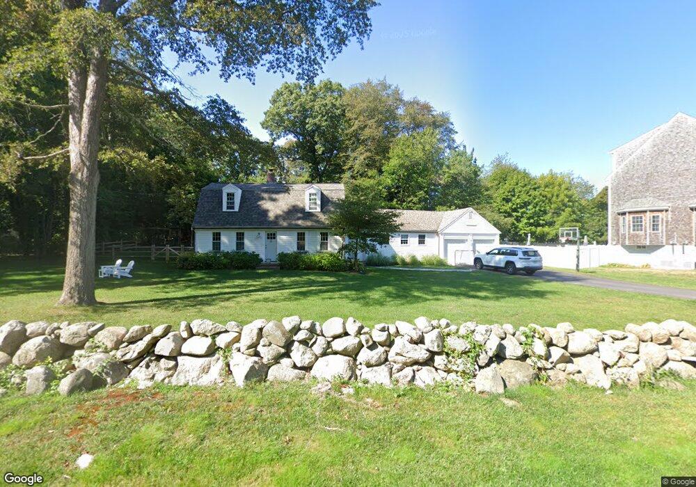
25 Elm Park Scituate, MA 02066
Estimated Value: $1,081,000 - $1,140,545
3
Beds
2
Baths
2,096
Sq Ft
$532/Sq Ft
Est. Value
About This Home
This home is located at 25 Elm Park, Scituate, MA 02066 and is currently estimated at $1,114,636, approximately $531 per square foot. 25 Elm Park is a home located in Plymouth County with nearby schools including Jenkins Elementary School, Lester J. Gates Middle School, and Scituate High School.
Ownership History
Date
Name
Owned For
Owner Type
Purchase Details
Closed on
Mar 31, 2021
Sold by
Tolken Robert F and Fulton-Tolken Nina J
Bought by
Dexter Kyle S and Dexter Leah H
Current Estimated Value
Home Financials for this Owner
Home Financials are based on the most recent Mortgage that was taken out on this home.
Original Mortgage
$639,200
Outstanding Balance
$573,964
Interest Rate
2.8%
Mortgage Type
Purchase Money Mortgage
Estimated Equity
$540,672
Purchase Details
Closed on
Jun 10, 2008
Sold by
Fulton Jane C
Bought by
Tolken Robert F and Fulton-Tolken Nina J
Create a Home Valuation Report for This Property
The Home Valuation Report is an in-depth analysis detailing your home's value as well as a comparison with similar homes in the area
Home Values in the Area
Average Home Value in this Area
Purchase History
| Date | Buyer | Sale Price | Title Company |
|---|---|---|---|
| Dexter Kyle S | $799,000 | None Available | |
| Tolken Robert F | $250,000 | -- |
Source: Public Records
Mortgage History
| Date | Status | Borrower | Loan Amount |
|---|---|---|---|
| Open | Dexter Kyle S | $639,200 | |
| Previous Owner | Tolken Robert F | $200,000 |
Source: Public Records
Tax History Compared to Growth
Tax History
| Year | Tax Paid | Tax Assessment Tax Assessment Total Assessment is a certain percentage of the fair market value that is determined by local assessors to be the total taxable value of land and additions on the property. | Land | Improvement |
|---|---|---|---|---|
| 2025 | $9,962 | $997,200 | $516,100 | $481,100 |
| 2024 | $9,750 | $941,100 | $469,200 | $471,900 |
| 2023 | $8,757 | $865,900 | $426,800 | $439,100 |
| 2022 | $8,757 | $693,900 | $325,600 | $368,300 |
| 2021 | $7,254 | $544,200 | $310,100 | $234,100 |
| 2020 | $7,036 | $521,200 | $298,100 | $223,100 |
| 2019 | $7,351 | $535,000 | $321,500 | $213,500 |
| 2018 | $7,394 | $530,000 | $337,900 | $192,100 |
| 2017 | $7,013 | $497,700 | $313,700 | $184,000 |
| 2016 | $6,526 | $461,500 | $277,500 | $184,000 |
| 2015 | $5,888 | $449,500 | $265,500 | $184,000 |
Source: Public Records
Map
Nearby Homes
- 67 Greenfield Ln
- 59 Greenfield Ln
- 12 Meeting House Ln Unit 308
- 50 First Parish Rd
- 76 A Brook St
- 76 A Brook St Unit 1
- 91 Front St Unit 106
- 29 Ladds Way Unit 29
- 74 Tilden Rd
- 19 Ford Place Unit 3
- 19 Ford Place Unit 1
- 19 Ford Place Unit 4
- 12 Sassamon Rd
- 111 Elm St
- 115 Elm St
- 2 Collier Rd
- 23 Sunset Rd
- 17 Old Oaken Bucket Rd
- 37 Moorland Rd
- 12 Richfield Rd
- 113 Greenfield Ln
- 17 Elm Park
- 97 Stockbridge Rd
- 93 Stockbridge Rd
- 103 Stockbridge Rd
- 100 Greenfield Ln
- 7 Elm Park
- 13 Elm Park
- 109 Stockbridge Rd
- 114 Greenfield Ln
- 88 Stockbridge Rd
- 94 Greenfield Ln
- 19 Lynda Ln
- 15 Lynda Ln
- 11 Woodbine Way
- 11R Elm Park
- 11 Elm Park
- 0 Common St
- 23 Lynda Ln
- 21 Woodbine Way