25 Field Stone Way Unit 31 Bolton, MA 01740
Estimated Value: $1,158,000 - $1,566,000
4
Beds
4
Baths
3,883
Sq Ft
$353/Sq Ft
Est. Value
About This Home
This home is located at 25 Field Stone Way Unit 31, Bolton, MA 01740 and is currently estimated at $1,372,247, approximately $353 per square foot. 25 Field Stone Way Unit 31 is a home located in Worcester County with nearby schools including Florence Sawyer School and Nashoba Regional High School.
Ownership History
Date
Name
Owned For
Owner Type
Purchase Details
Closed on
Apr 13, 2010
Sold by
Wilder Brook Llc
Bought by
Toland Jay M and Toland Nancy Lisa
Current Estimated Value
Home Financials for this Owner
Home Financials are based on the most recent Mortgage that was taken out on this home.
Original Mortgage
$743,681
Outstanding Balance
$498,253
Interest Rate
5.12%
Mortgage Type
Purchase Money Mortgage
Estimated Equity
$873,994
Create a Home Valuation Report for This Property
The Home Valuation Report is an in-depth analysis detailing your home's value as well as a comparison with similar homes in the area
Home Values in the Area
Average Home Value in this Area
Purchase History
| Date | Buyer | Sale Price | Title Company |
|---|---|---|---|
| Toland Jay M | $870,000 | -- |
Source: Public Records
Mortgage History
| Date | Status | Borrower | Loan Amount |
|---|---|---|---|
| Open | Toland Jay M | $743,681 |
Source: Public Records
Tax History Compared to Growth
Tax History
| Year | Tax Paid | Tax Assessment Tax Assessment Total Assessment is a certain percentage of the fair market value that is determined by local assessors to be the total taxable value of land and additions on the property. | Land | Improvement |
|---|---|---|---|---|
| 2025 | $20,340 | $1,223,800 | $255,700 | $968,100 |
| 2024 | $19,940 | $1,226,300 | $280,700 | $945,600 |
| 2023 | $17,997 | $1,028,400 | $256,400 | $772,000 |
| 2022 | $17,537 | $882,600 | $216,400 | $666,200 |
| 2021 | $17,341 | $831,300 | $216,400 | $614,900 |
| 2020 | $17,378 | $852,300 | $216,500 | $635,800 |
| 2019 | $17,584 | $859,000 | $216,500 | $642,500 |
| 2018 | $18,127 | $877,400 | $220,800 | $656,600 |
| 2017 | $17,891 | $843,900 | $210,700 | $633,200 |
| 2016 | $17,535 | $838,600 | $200,800 | $637,800 |
| 2015 | $16,031 | $764,100 | $190,700 | $573,400 |
| 2014 | $16,443 | $775,600 | $205,800 | $569,800 |
Source: Public Records
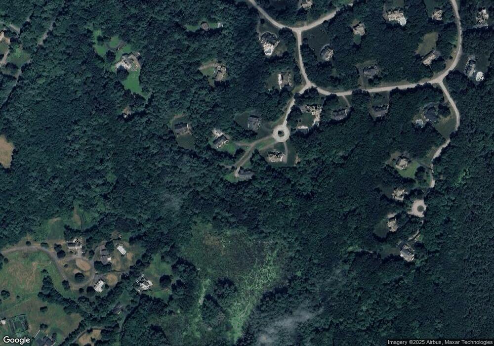
Map
Nearby Homes
- 291 Harvard Rd
- 3 Old Harvard Rd
- 68 Old Harvard Rd
- 347 Green Rd
- 90 Harvard Rd
- 236 Bolton Rd
- 90 Corn Rd
- 112 Nourse Rd
- 400 Sugar Rd
- 21 Woodside Rd
- 159 W Bare Hill Rd
- 231 Vaughn Hill Rd
- 3 Pondside Ln Unit 3
- 11 Pondside Ln Unit 11
- 19 Barton Rd
- 23 Harvard Rd
- 871 Main St
- 1A Sanders Ln
- 6A Sanders Ln
- 11 Mallard Ln Unit 8
- 20 Field Stone Way
- 20 Field Stone Way Unit 1
- 21 Field Stone Way
- 17 Field Stone Way
- 23 Field Stone Way
- LOT 30 Field Stone Way
- Plan C Field Stone Way
- Plan A Field Stone Way
- Plan F Field Stone Way
- Plan B Field Stone Way
- 10 Field Stone Way
- 134 Drumlin Hill Rd
- 403 Harvard Rd
- 122 Drumlin Hill Rd
- 39 Drumlin Hill Rd
- 114 Drumlin Hill Rd
- 295 Harvard Rd
- 21 Ledge Wood Cir
- 405 Harvard Rd
- 25 Ledge Wood Cir