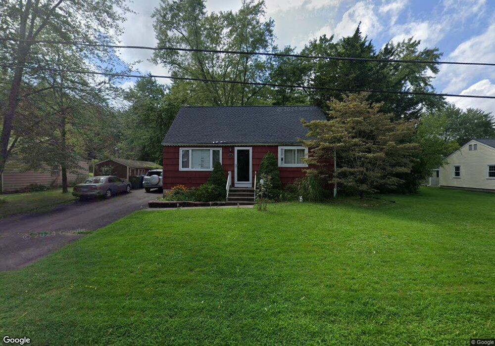
25 Fir Ln Middletown, CT 06457
Westfield NeighborhoodEstimated Value: $343,000 - $430,000
3
Beds
2
Baths
1,426
Sq Ft
$259/Sq Ft
Est. Value
About This Home
This home is located at 25 Fir Ln, Middletown, CT 06457 and is currently estimated at $369,558, approximately $259 per square foot. 25 Fir Ln is a home located in Middlesex County with nearby schools including The Lawrence School, Middletown High School, and St John Paul II School.
Ownership History
Date
Name
Owned For
Owner Type
Purchase Details
Closed on
Nov 29, 2010
Sold by
Buckman Laura M and Buckman William E
Bought by
Gagne Jillian L
Current Estimated Value
Home Financials for this Owner
Home Financials are based on the most recent Mortgage that was taken out on this home.
Original Mortgage
$81,000
Outstanding Balance
$27,876
Interest Rate
4.25%
Estimated Equity
$341,682
Purchase Details
Closed on
Nov 15, 2004
Sold by
Est Dapkus John G and Dapkus Susan J
Bought by
Buckman William E and Buckman Laura M
Home Financials for this Owner
Home Financials are based on the most recent Mortgage that was taken out on this home.
Original Mortgage
$158,800
Interest Rate
5.75%
Create a Home Valuation Report for This Property
The Home Valuation Report is an in-depth analysis detailing your home's value as well as a comparison with similar homes in the area
Home Values in the Area
Average Home Value in this Area
Purchase History
| Date | Buyer | Sale Price | Title Company |
|---|---|---|---|
| Gagne Jillian L | $181,000 | -- | |
| Buckman William E | $198,500 | -- |
Source: Public Records
Mortgage History
| Date | Status | Borrower | Loan Amount |
|---|---|---|---|
| Open | Buckman William E | $81,000 | |
| Previous Owner | Buckman William E | $158,800 | |
| Previous Owner | Buckman William E | $29,750 | |
| Previous Owner | Buckman William E | $38,500 |
Source: Public Records
Tax History Compared to Growth
Tax History
| Year | Tax Paid | Tax Assessment Tax Assessment Total Assessment is a certain percentage of the fair market value that is determined by local assessors to be the total taxable value of land and additions on the property. | Land | Improvement |
|---|---|---|---|---|
| 2025 | $6,300 | $161,950 | $64,380 | $97,570 |
| 2024 | $5,960 | $161,950 | $64,380 | $97,570 |
| 2023 | $5,684 | $161,950 | $64,380 | $97,570 |
| 2022 | $4,863 | $110,530 | $42,920 | $67,610 |
| 2021 | $4,863 | $110,530 | $42,920 | $67,610 |
| 2020 | $4,885 | $110,530 | $42,920 | $67,610 |
| 2019 | $4,908 | $110,530 | $42,920 | $67,610 |
| 2018 | $4,830 | $110,530 | $42,920 | $67,610 |
| 2017 | $4,552 | $107,360 | $46,200 | $61,160 |
| 2016 | $4,423 | $107,360 | $46,200 | $61,160 |
| 2015 | $4,251 | $107,360 | $46,200 | $61,160 |
| 2014 | $4,294 | $107,360 | $46,200 | $61,160 |
Source: Public Records
Map
Nearby Homes
- 80 Birchwood Dr
- 30 Hemlock Place
- 10 Talias Trail
- 94 Cynthia Ln Unit D-5
- 85 Aspen Dr
- 161 Cynthia Ln Unit E5
- 145 Webster Ln Unit 2-41
- 137 Webster Ln Unit 2-42
- 123 Webster Ln
- 134 Webster Ln Unit 2-15
- 128 Webster Ln
- 17 Flynn Ln
- 886 East St
- 36 Brookview Ln
- 404 Newfield St
- 122 Nejako Dr
- 27 Valley Dr
- 59 Fieldbrook Rd
- 180 Bailey Rd
- 55 Timothy Dr