25 Flintlock Ln New Gloucester, ME 04260
Estimated Value: $409,000 - $457,000
3
Beds
2
Baths
1,232
Sq Ft
$354/Sq Ft
Est. Value
About This Home
This home is located at 25 Flintlock Ln, New Gloucester, ME 04260 and is currently estimated at $436,106, approximately $353 per square foot. 25 Flintlock Ln is a home with nearby schools including Gray-New Gloucester High School.
Ownership History
Date
Name
Owned For
Owner Type
Purchase Details
Closed on
Sep 6, 2016
Sold by
Leavitt Donald S and Leavitt Laura
Bought by
Lyons Jonathan M and Lyons Jennifer M
Current Estimated Value
Purchase Details
Closed on
May 4, 2005
Sold by
Waterman Robert M and Waterman Jeanne E
Bought by
Leavitt Donald S and Leavitt Laura J
Create a Home Valuation Report for This Property
The Home Valuation Report is an in-depth analysis detailing your home's value as well as a comparison with similar homes in the area
Home Values in the Area
Average Home Value in this Area
Purchase History
| Date | Buyer | Sale Price | Title Company |
|---|---|---|---|
| Lyons Jonathan M | -- | -- | |
| Leavitt Donald S | -- | -- |
Source: Public Records
Tax History Compared to Growth
Tax History
| Year | Tax Paid | Tax Assessment Tax Assessment Total Assessment is a certain percentage of the fair market value that is determined by local assessors to be the total taxable value of land and additions on the property. | Land | Improvement |
|---|---|---|---|---|
| 2025 | $3,680 | $237,900 | $68,188 | $169,712 |
| 2024 | $3,542 | $237,900 | $68,188 | $169,712 |
| 2023 | $3,400 | $237,900 | $68,188 | $169,712 |
| 2022 | $3,283 | $237,900 | $68,188 | $169,712 |
| 2021 | $3,283 | $237,900 | $68,188 | $169,712 |
| 2020 | $3,247 | $237,900 | $68,188 | $169,712 |
| 2019 | $3,686 | $218,100 | $62,200 | $155,900 |
| 2018 | $3,446 | $218,100 | $62,200 | $155,900 |
| 2017 | $3,402 | $218,100 | $62,200 | $155,900 |
| 2016 | $816 | $55,500 | $55,500 | $0 |
| 2015 | $813 | $55,500 | $55,500 | $0 |
| 2014 | $805 | $55,500 | $55,500 | $0 |
| 2013 | $746 | $55,500 | $55,500 | $0 |
Source: Public Records
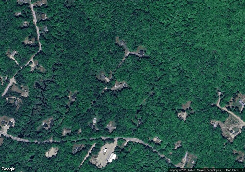
Map
Nearby Homes
- 271 Bennett Rd
- 22 Shaw Rd
- TBD Targett Rd
- 24 Swamp Rd
- 29 Rockwood Dr
- 155 & 151 Gloucester Hill Rd
- 0018-C Gloucester Hill Rd
- 160 Gloucester Hill Rd
- 14 Golden Way
- 10 Cobbs Bridge Rd
- 423 Sabbathday Rd
- 164 Intervale Rd
- 343 Shaker Rd
- 12 Country Charm Ln
- 4 Chelsey Ln
- 161 Beaver Dam Dr
- 0 Mayall
- 200 Woodman Rd
- 10-56 C&E Bowdoin Way
- 15 May Meadow Dr
- 26 Flintlock Ln
- 27 Flintlock Ln
- 28 Flintlock Ln
- 307 Bennett Rd
- 333 Bennett Rd
- 317 Bennett Rd
- 299 Bennett Rd
- 300 Bennett Rd
- 289 Bennett Rd
- 306 Bennett Rd
- 285 Bennett Rd
- 329 Bennett Rd
- 322 Bennett Rd
- 337 Bennett Rd
- 279 Bennett Rd
- 37 Brookside Dr
- 47 Brookside Dr
- 25 Brookside Dr
- 55 Brookside Dr
- 41 Vickerson Dr