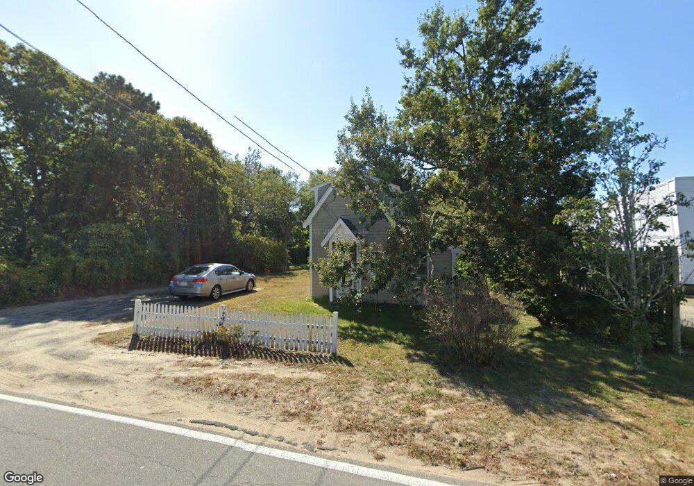
25 Forest Rd South Yarmouth, MA 02664
Estimated Value: $293,000 - $438,123
2
Beds
1
Bath
776
Sq Ft
$481/Sq Ft
Est. Value
About This Home
This home is located at 25 Forest Rd, South Yarmouth, MA 02664 and is currently estimated at $373,531, approximately $481 per square foot. 25 Forest Rd is a home located in Barnstable County with nearby schools including Dennis-Yarmouth Regional High School, Sturgis Charter Public School, and St. Pius X. School.
Ownership History
Date
Name
Owned For
Owner Type
Purchase Details
Closed on
Dec 5, 2003
Sold by
Igoe Eleanor M
Bought by
Igoe Peter
Current Estimated Value
Home Financials for this Owner
Home Financials are based on the most recent Mortgage that was taken out on this home.
Original Mortgage
$77,000
Outstanding Balance
$36,054
Interest Rate
6.03%
Mortgage Type
Purchase Money Mortgage
Estimated Equity
$337,477
Create a Home Valuation Report for This Property
The Home Valuation Report is an in-depth analysis detailing your home's value as well as a comparison with similar homes in the area
Home Values in the Area
Average Home Value in this Area
Purchase History
| Date | Buyer | Sale Price | Title Company |
|---|---|---|---|
| Igoe Peter | $85,700 | -- |
Source: Public Records
Mortgage History
| Date | Status | Borrower | Loan Amount |
|---|---|---|---|
| Open | Igoe Peter | $29,000 | |
| Open | Igoe Peter | $77,000 |
Source: Public Records
Tax History Compared to Growth
Tax History
| Year | Tax Paid | Tax Assessment Tax Assessment Total Assessment is a certain percentage of the fair market value that is determined by local assessors to be the total taxable value of land and additions on the property. | Land | Improvement |
|---|---|---|---|---|
| 2025 | $2,188 | $309,100 | $140,700 | $168,400 |
| 2024 | $2,083 | $282,200 | $122,300 | $159,900 |
| 2023 | $2,169 | $267,400 | $111,200 | $156,200 |
| 2022 | $2,088 | $227,500 | $106,100 | $121,400 |
| 2021 | $1,922 | $201,000 | $106,100 | $94,900 |
| 2020 | $2,034 | $203,400 | $112,300 | $91,100 |
| 2019 | $1,932 | $191,300 | $112,300 | $79,000 |
| 2018 | $1,776 | $172,600 | $93,600 | $79,000 |
| 2017 | $1,619 | $161,600 | $93,600 | $68,000 |
| 2016 | $1,453 | $145,600 | $86,100 | $59,500 |
| 2015 | $1,308 | $130,300 | $82,300 | $48,000 |
Source: Public Records
Map
Nearby Homes
- 17 South St
- 3 Saturn Ln
- 745 Willow St
- 9 Victory Ln
- 181 Pleasant St
- 9 Cedar St
- 68 Bob-O-link Ln
- 17 Merganser Ln
- 4 Braddock St
- 255 Long Pond Dr
- 55 Lower Brook Rd
- 26 Grouse Ln
- 9 Lower Brook Rd
- 844 Route 28 Unit 1C
- 844 Route 28 Unit 1C
- 844 Route 28 Unit 9B
- 251 Old Main St
- 33 Lake Rd
- 8 Rogers Ave
- 24 Fast Brook Rd
- 50 Old Main St
- 1041 Route 28
- 54 Old Main St
- 1049 Massachusetts 28
- 12 Forest Rd
- 36 Old Main St
- 1045 Route 28
- 1045 Massachusetts 28
- 1045 Massachusetts 28 Unit 6
- 32 Old Main St
- 32 Old Main St Unit 1
- 47 Old Main St
- 1029 Route 28
- 39 Old Main St
- 27 Forest Rd
- 33 Old Main St
- 63 Old Main St Unit 65
- 63-65 Old Main St
- 0 Forest
- 1021 Route 28